
NASA’s Disasters Program researchers recently participated in a virtual meeting hosted by the Paraguayan Space Agency to share NASA Global Historical Fire data 2001-2018 with numerous Paraguayan agencies. NASA Earth observations and models support research before, during and after wildfires and can provide inputs to products and visualizations. Having quick access to that information for regional planning, fire identification and model initialization will help Paraguayan communities understand fire risk, as well as the impact of wildfires on climate change.
NASA Disasters program coordinator Ricardo Quiroga and his team are working on several projects that will provide long-term benefits in the response, resilience and recovery processes of North and South American countries. Quiroga arranged the Dec. 4. meeting in response to a request by the Paraguayan Ministry of Environment through the Paraguayan Space Agency.
Paraguayan Space Agency President, Col. Liduvino Vielman Díaz introduced the speakers to the agencies participating in the event, which included: the Ministry of Environment and Sustainable Development (MADES), National Emergency Secretariat (SEN), National Forest Institute (INFONA), World Wildlife Fund (WWF), Faculty of Agricultural Sciences (FCA-UNA), University of the Pacific (UP).
University of Idaho’s Dr. Luigi Boschetti presented on “Using the NASA Polar Orbiting Fire Product Record to Enhance And Expand the Global Wildfire Information System (GWIS).” GWIS is the Global Wildfire Information System (GWIS) is a joint initiative of the Group on Earth Observations (GEO), NASA’s Applied Research Program and the European Union's Earth observation program, Copernicus. GWIS uses the active fire detections provided by the NASA FIRMS (Fire Information for Resource Management System) with contributions from technologies such as MODIS (Moderate Resolution Imaging Spectroradiometer) and VIIRS (Visible Infrared Imaging Radiometer Suite). NASA’s Applied Sciences Program funded work that Boschetti is doing in collaboration with his colleague at University of Idaho, Aaron Sparks and Michigan State University’s David Roy, to incorporate NASA’s fire products to expand GWIS.
Boschetti, demonstrated a new module of GWIS that provides not just data, but information in an aggregated form including live maps of burned areas, on-demand statistics, tabular and graphical information on scales ranging from regional localities to worldwide. These comprehensive views and evaluations of fire regimes will support policy making and national resource management. Dr. Vincent Ambrosia also provided historical context of GWIS to the meeting participants and explained how the system has been and continues to be upgraded for enhanced capability.
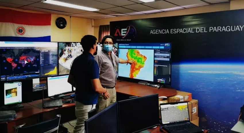
“This information will be very useful, not only for the experts and analysts, but it is a powerful tool to increase awareness of the importance of our environment to the general public,” remarked Alejandro Roman, General Director of Aerospace Development for the Paraguayan Space Agency. “This meeting and the outcomes is another example of how collaboration between our institutions can bring solutions to concrete needs and (how) access to open data can give answers to old questions with the help of statistical information.”


