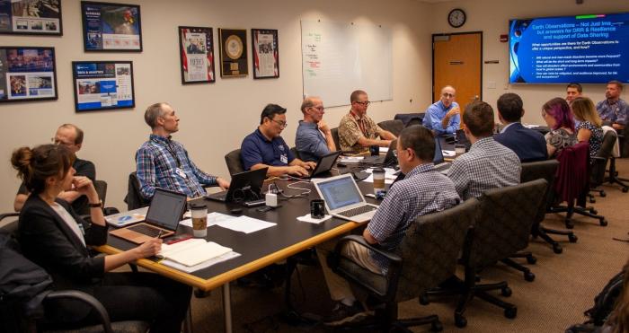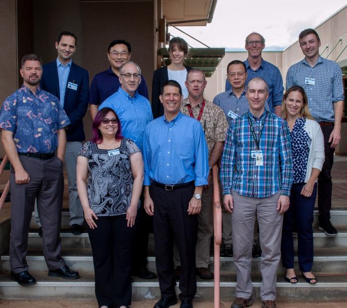
Members of the Pacific Disaster Center and NASA’s Disasters Program met recently to advance their collaboration on global flood and landslide risk modeling and monitoring. Meeting at the Pacific Disaster Center headquarters in Kihei, Hawaii from February 11th to 14th, this workshop increased awareness of the technical and science opportunities and capabilities of each of the participating groups with a robust exchange of information and ideas. The workshop identified synergies between projects and PDC partner activities and identified next steps to collaborate scientifically and in support of disaster response activities. Discussion focused on advancing how the Pacific Disaster Center can integrate NASA flood and landslide models and maps into the DisasterAWARE® application, a global early warning and decision support system to translate data into actionable information to improve situational awareness, disaster response and recovery of at-risk communities.