Join more than 5,000 attendees from across government agencies at the Esri Federal GIS Conference in Washington, DC on February 11 - 12, 2020. Hear how government agencies are using GIS to power deeper understanding for effective solutions. Learn more: https://www.esri.com/en-us/about/events/federal-gis-conference/overview
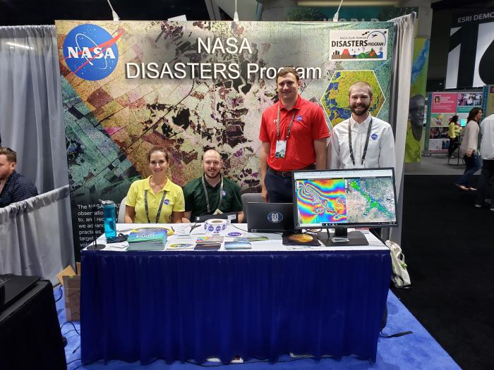
Members of the NASA Earth Applied Sciences Disasters Program will be attending to teach people about the NASA Disasters Mapping Portal how NASA is connecting GIS to science and applying geospatial technology to better understand our changing planet.
NASA Events
NASA Special Interest Group Meeting
Wednesday February 12th, 12:30 – 1:30pm, Room 154B
This meeting is for NASA staff and collaborating partners to discuss and share information on NASA projects supported by GIS.
NASA Disasters Program Mapping Portal Overview
Wednesday February 12th, 1:30 – 2:30pm, Room 154B
Learn how the NASA Disasters Mapping Portal bridges the gap between NASA scientists and end-users. The Portal hosts NASA near real-time image services and event specific products for users involved in disaster risk management and day-to-day planning and operations.
The session will present an overview of the latest disaster-related applications and story maps showcasing NASA science products and tools. Open discussion will focus on opportunities for collaboration and identifying Portal user’s needs.
Exhibit Booth Activities
Visit the NASA booth (Booth #503) to learn about the NASA Disasters Mapping Portal and speak with representatives from NASA about using GIS Earth observing data and how NASA can support your work.


