NOTE: NASA Wildland FireSense is a NASA-wide effort to create greater value through collaboration. It brings together data, technology, research, flights, aeronautics, innovation, applications to create the next generation of tools and science-informed capabilities for wildfire adapted communities and to enable society to live sustainably with wildland fires.
NASA Wildland FireSense includes efforts from NASA’s Science Mission Directorate (of which the Earth Science Division is a part); NASA’s Aeronautics Research Mission Directorate; and NASA’s Space Technology Mission Directorate.
NASA announces an initiative to bring an Earth systems approach to improving wildfire and wildland fire management, called FireSense.
NASA announced the effort at a May 24 Town Hall meeting at the Fire & Climate conference held by the International Association of Wildland Fire (IAWF) in Pasadena, California. FireSense aims to bring the resources of NASA and its decades of Earth science data to inform decision-makers and guide actions in fire management.
“We are not fighting fire,” said David Green, program manager of NASA’s Wildfire program area in Applied Sciences and a core member of the NASA Earth Science Division FireSense team. “Instead, we are bringing innovative applied research, development and applications to the issue of wildfire.”
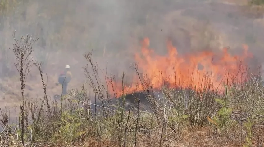
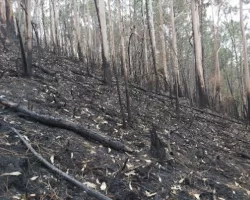
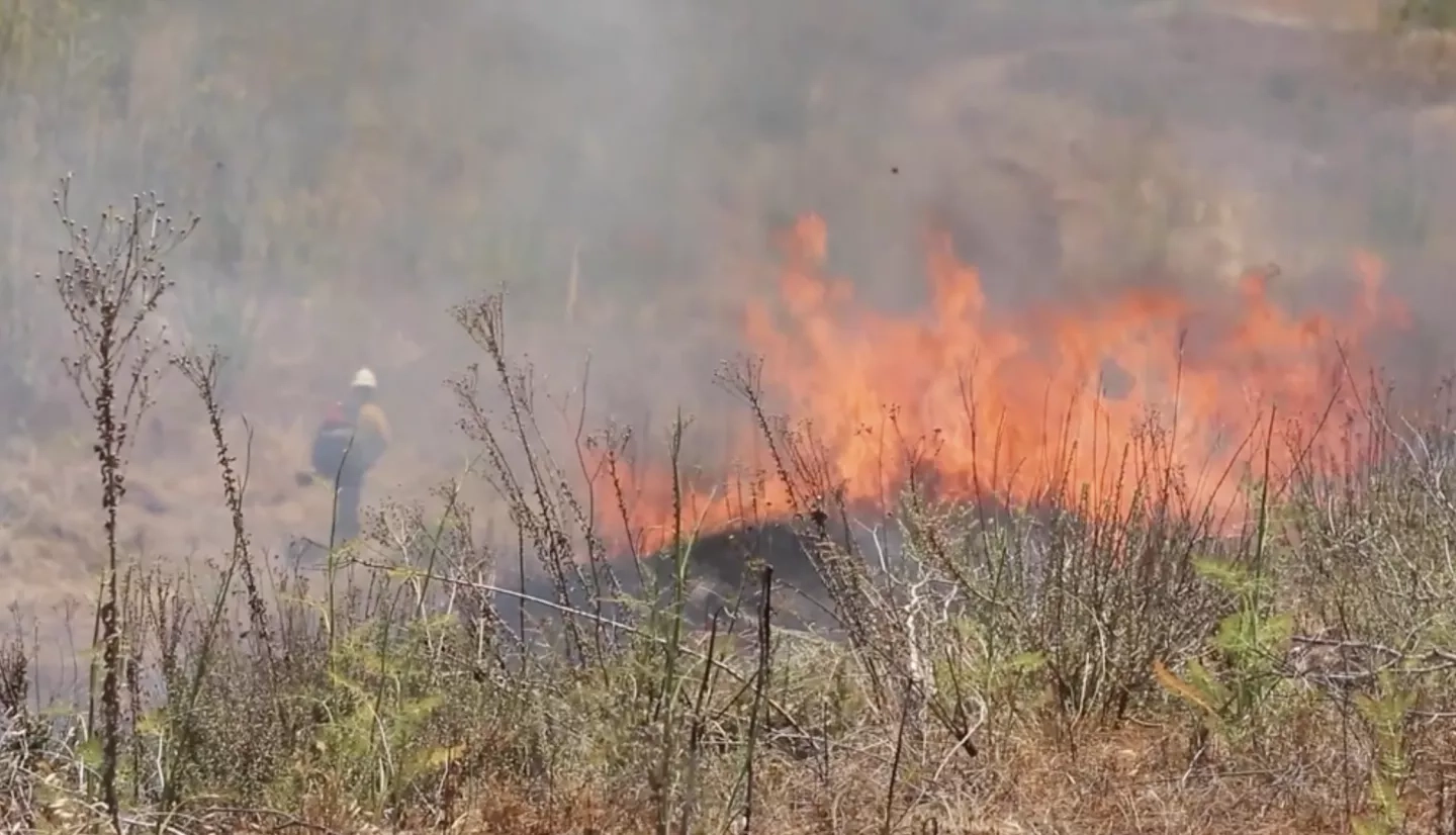
NASA is in a unique position to leverage Earth-observing data before, during and after a fire event, Green said. After a fire, burned areas are prone to floods, landslides and poor water quality. During a fire, near-real-time information can give fire response organizations situational awareness on flames and smoke and how they may affect communities, transportation, land, water and air quality. Before the first flames of a wildfire ignite, NASA's Earth-observations provide information on soil moisture, vegetation maps and other insights into fire-prone areas. This information helps decision-makers understand the risk of fire and better prepare.
In establishing FireSense, NASA held a series of meetings with scientists and stakeholders. One such meeting held in February 2022 by NASA’s Science Mission Directorate occurred at NASA Goddard Space Flight Center in Greenbelt, Maryland. More than 700 participants took part in the in-person and virtual event from fire management professionals to representatives from other federal agencies.
“The Wildfires program area collaborates with decision makers, providing them with applications and tools based on NASA’s wealth of Earth observations,” Green said. "The goal is so they can help communities manage the impacts of fire.”
The Town Hall event is part of NASA’s participation in collaboration with the geographic information system company Esri, at the IAWF meeting. IAWF is a professional organization whose members include experts in firefighting and community safety, natural resource planning, land use and policy making, and making landscapes and communities more fire resilient.