
NASA staff, including several members of the NASA Earth Applied Sciences Disasters Program, attended and supported Esri’s Federal GIS Conference in Washington, D.C. on February 10th - 12th, 2020, to explore how to apply geospatial technology to better understand our changing planet.
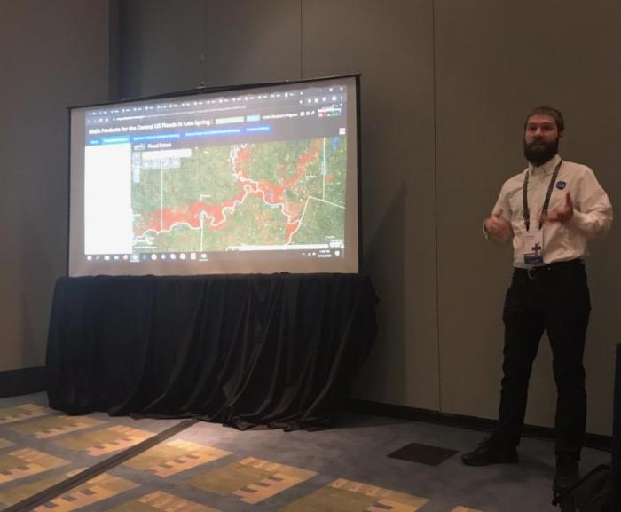
Several GIS products hosted on the NASA Disasters Mapping Portal were highlighted during the conference’s plenary session, which had over 5,000 people in attendance. NASA Disasters Program staff also supported NASA’s Earth Science Division (ESD) booth in the exhibit hall, interacting with several hundred attendees and sharing information on how to access NASA GIS products in support of disaster risk reduction and response. The NASA Disasters team also hosted a session providing an overview of the NASA Disasters Mapping Portal, which was given to a packed room. Many new connections were made during the session, including with groups within the United States Postal Service (USPS) and Environmental Protection Agency (EPA).
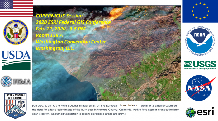
A session was also given on the European Space Agency (ESA) Copernicus satellite program. This provided an opportunity to review how eight U.S. federal agencies (DOS/USAID, FEMA, NASA, NOAA, US Coast Guard, USDA, and USGS) are using ESA Sentinel satellite data for multiple applications, including disaster preparedness, prediction, response and prevention. Participants in the session were interested in opportunities for greater U.S. and European coordination and easier access to Sentinel satellite data in order to assist the U.S. and international research and operational goals such as decision support from satellite data. European Sentinel satellites augment, complement and add resiliency to an already robust U.S. Earth observation constellation with contributions from NASA, NOAA, USGS and U.S. commercial companies such as Spire, Maxar, Planet and new missions such as NASA’s ECOsystem Spaceborne Thermal Radiometer Experiment (ECOSTRESS) onboard the International Space Station.


