According to a recent study, approximately 155,000 people are exposed to potential impacts from floods and landslides in the area of Rio de Janeiro. This is primarily due to the city’s steep slopes, intense seasonal rainfall, and vulnerable populations situated on marginal slopes.
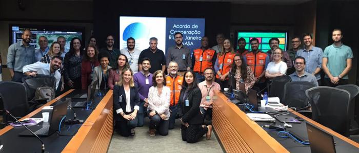
In December 2015, NASA and the City of Rio de Janeiro signed an agreement to support innovative efforts to better understand, anticipate, and monitor hazards and environmental issues, including heavy rainfall and landslides, urban flooding, air quality and water quality in and around the city. This collaboration leverages the unique attributes of NASA's satellite data and modeling frameworks and Rio de Janeiro's management and monitoring capabilities to improve awareness of how the city of Rio may be impacted by hazards and affected by climate change.
As part of this partnership the two groups are meeting in Rio de Janeiro this week to discuss the progress made in the landslide modeling work and kick off a new project focused on urban flood modeling. The “Applied Sciences for Disaster Risk Reduction Workshop” and other outreach and scientific engagement events will feature technical discussions with city management and scientists to connect the scientific modeling efforts to decision making needs around the city.


