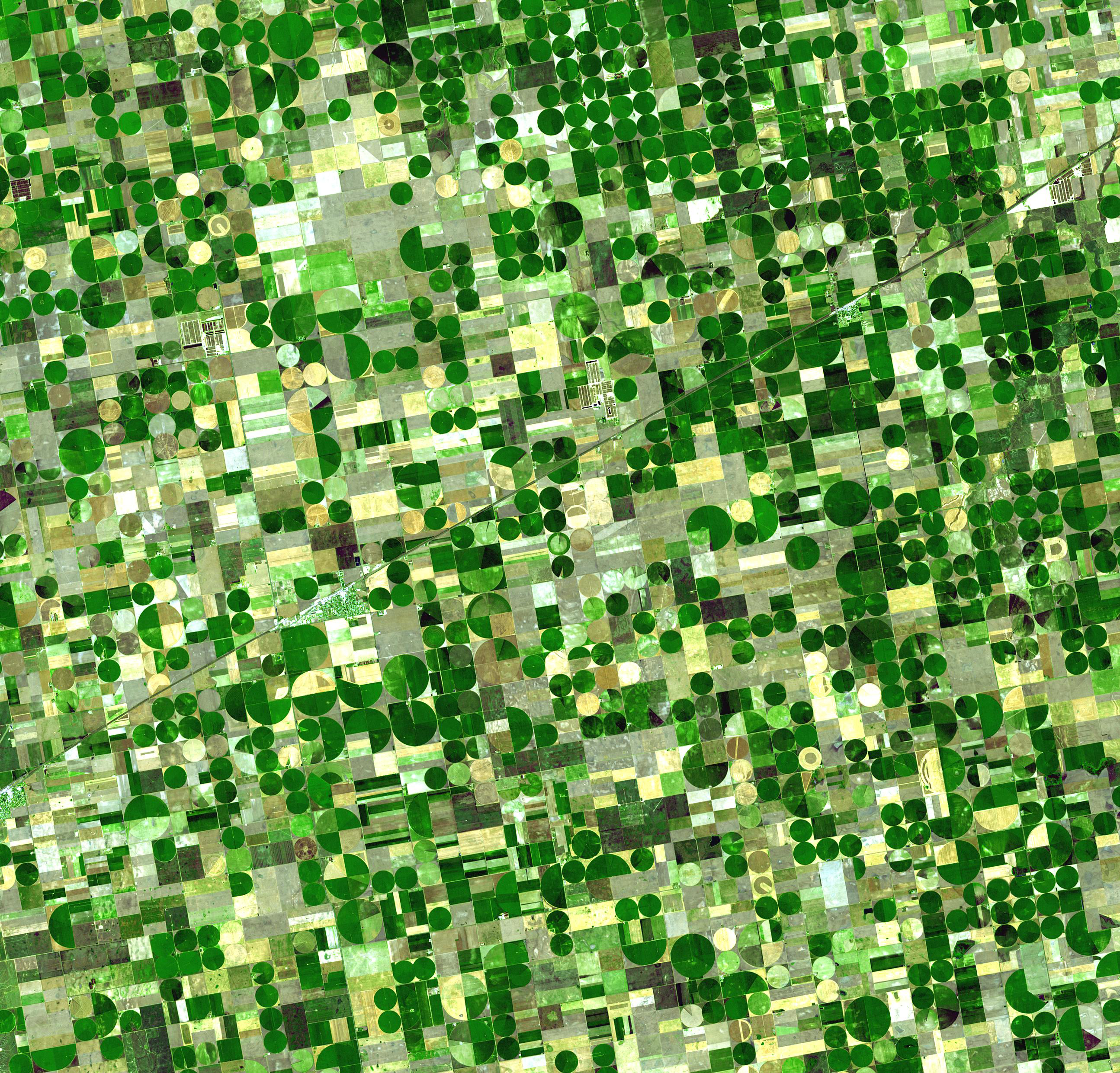
NASA Harvest, in the Applied Sciences Agriculture program area, helps farmers around the world access the view from space of their fields, allowing food producers to assess metrics like soil moisture and even crop health from afar. Dr. Inbal Becker-Reshef, program director for NASA Harvest, joined BBC’s Follow the Food documentary series to share how NASA Earth observations can support food production, market stability and on-farm decisions.
BBC's Follow the Food documentary series examines where our food comes from and how this might change in the near future with new technologies and creative ways of farming. In the “Future Farms” episode, Becker-Reshef described how satellite data – like soil moisture information from NASA’s Soil Moisture Active Passive (SMAP) mission and crop condition indicators from the joint NASA and U.S. Geological Service's Landsat missions – can provide an extra layer of information beyond the visible spectrum, with the ability to alert farmers of potential issues in their fields well in advance of a food disaster.
With satellites, “we can essentially see every field, or almost every field, across the world almost on a daily basis,” Becker-Reshef said. “They provide us a lot of information around crop health, for example, so they might be able to show a farmer that he’s got an issue in a part of his field. If a farmer can detect that early through satellite for example, they can address just that issue before that spreads to their entire farm.”
NASA Harvest’s mission is to enable and advance the adoption of satellite Earth observations by public and private organizations to benefit food security, agriculture, and human and environmental resiliency. More about Becker-Reshef’s participation in the documentary can be found on the NASA Harvest website.