
Published
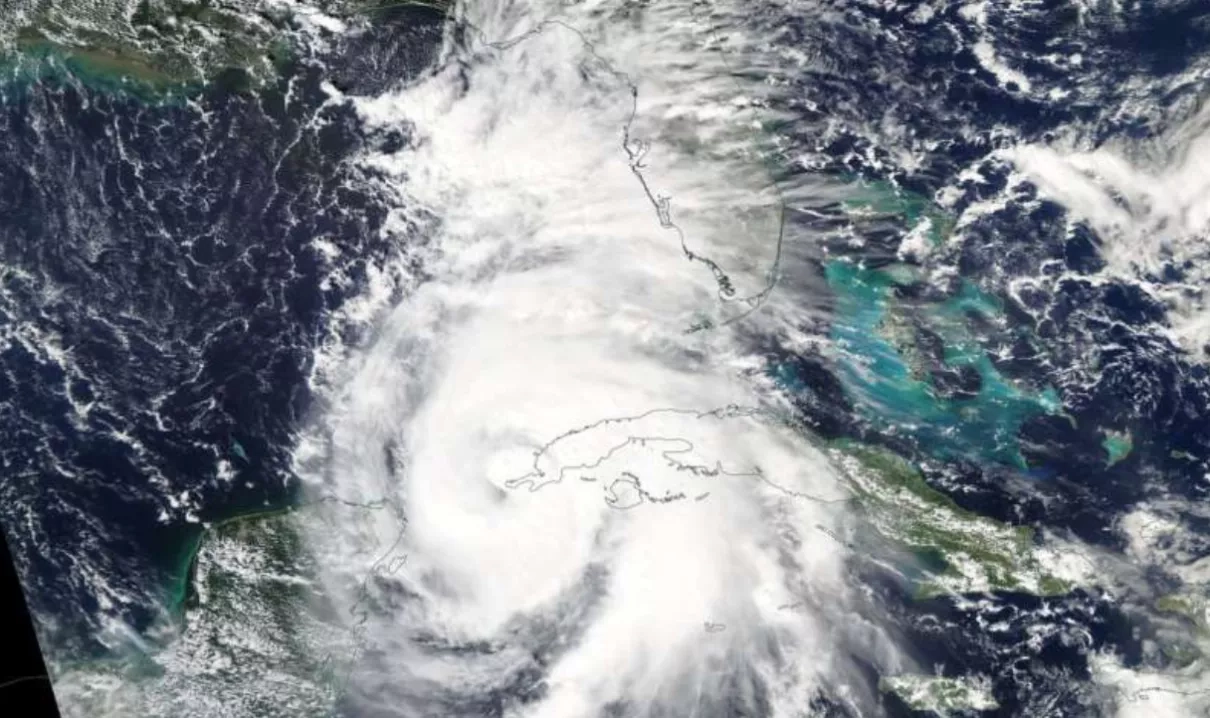
On October 8, 2018 the MODIS instrument aboard NASA's Aqua satellite captured a visible image of Hurricane Michael when it was a Category 1 hurricane near the western tip of Cuba. Aqua is a NASA Earth Science satellite mission collecting information about the Earth's water cycle, including evaporation from the oceans, water vapor in the atmosphere, clouds, precipitation, soil moisture, sea ice, land ice, and snow cover on the land and ice. Additional variables also being measured by Aqua include radiative energy fluxes, aerosols, vegetation cover on the land, phytoplankton and dissolved organic matter in the oceans, and air, land, and water temperatures.
988


