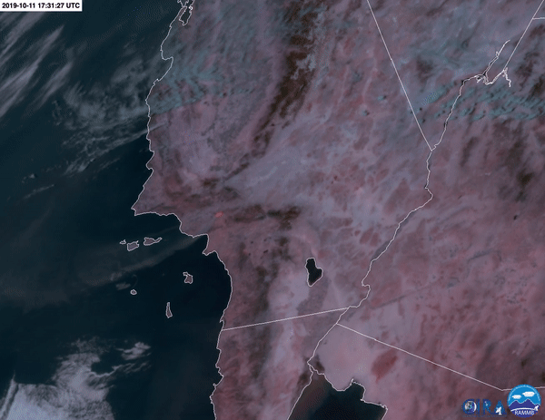
This animation depicts the the GOES-16 Advanced Baseline Imager (ABI) Fire Temperature product overlaid on the NOAA GOES-R GeoColor product for the Saddleridge California region from 10:31am -12:26pm PDT on October 11th, 2019. The red area shows the Saddleridge fire, and the white plume blowing out over the Pacific Ocean is smoke. This product was developed with support from the NASA Disasters Program at the request of the U.S. Forest Service and National Predictive Services.
Satellite fire detections such as these are used to initialize fires in weather models that provide information about smoke impact and fire behavior to governments and disaster response agencies. Presently, the only fire detections used in numerical weather prediction models come from sensors on low Earth orbiting satellites, such as the MODIS and VIIRS sensors. These sensors provide very high spatial resolution, but only provide detections a few times per day. The Advanced Baseline Imager (ABI) on the GOES-R Series provides fire detections every 5 minutes over the United States, which will provide a greater chance of capturing fires that can be missed due to cloud cover or thick smoke.
The NASA Disasters Program is supporting efforts by the Cooperative Institute for Research in the Atmosphere (CIRA) at Colorado State University (CSU) to bring the GOES-R Series fire detections into numerical weather prediction, and to improve assimilation of satellite fire detections in coupled weather-fuel-fire-smoke modeling. Curtis Seaman developed the Fire Temperature product based on a similar product developed for the VIIRS sensor by the Joint Polar Satellite Program (JPSS), which is a collaborative program between NOAA and NASA. Steve Miller developed the GeoColor product to provide imagery from the GOES-R and Himawari satellites that accurately reproduces the actual view of Earth from space. This combination of the Fire Temperature and GeoColor products, viewed using CIRA SLIDER (https://rammb-slider.cira.colostate.edu), were used during the Fire Influence on Regional and Global Environments Experiment (FIREX) to target fires for sampling. These products have also been made available on Advanced Weather Interactive Processing System (AWIPS) terminals for usage at the National Weather Service (NWS).
Further details about the Fire Temperature product can be found at: http://rammb.cira.colostate.edu/training/visit/quick_guides/Fire_Tempera...
Further details on the the GeoColor product can be found at: https://www.star.nesdis.noaa.gov/GOES/documents/QuickGuide_CIRA_Geocolor...


