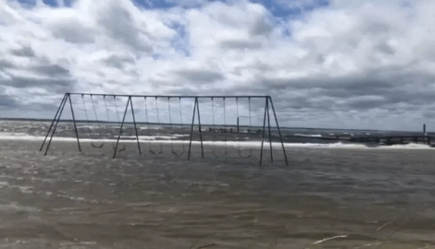
NASA has been investigating sea level rise for decades with satellites, airborne missions, shipboard measurements and supercomputers. Together with our international and interagency partners, we’re monitoring the causes of sea level rise with high accuracy and precision.
Rising Waters is a series of videos and news stories developed by NASA's Earth science division focusing on all aspects of sea level rise. Featured in the project is an Earth Applied Sciences project focused on getting NASA satellite data into the hands of city managers in Norfolk, Virginia. They use NASA models and tools based on Earth observation data to aid in planning roadwork, budgets and zoning restrictions in often-flooded areas.
Additional details about Applied Sciences program work in Norfolk, Virginia can be found at the story: Rising Sea Level Research Showcased on NASA Science Live as well as the Space for U.S. article: Helping Cities Stay Dry When Sea Levels Rise.


