Leah Kucera is the technical reporting and communications lead for the SERVIR Science Coordination Office. SERVIR is a joint initiative of NASA’s Earth Applied Sciences’s Capacity Building Program and the United States Agency for International Development (USAID).

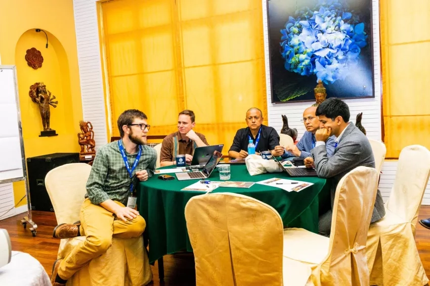
On a breezy, 90-degree morning in February—9,000-ish miles away from my office at NASA’s Marshall Space Flight Center in Huntsville, Alabama—I arrived at the SERVIR Annual Global Exchange (SAGE). This year, over 120 people from the SERVIR network traveled to Siem Reap, Cambodia. Representing a wide range of experience and disciplines—from academics to development experts—our shared goal addresses how satellite data is used to help countries tackle some of the most challenging issues here on Earth.
SAGE is an intensive 5-day experience unlike any other meeting I’ve attended. Participants come from almost every continent, with exchanges tending to take place in areas SERVIR works. Cambodia is both home to a USAID mission and a focus country for the SERVIR Mekong hub in Bangkok, Thailand. The hub actively supports several initiatives in the country, including helping detect land cover change in protected areas as part of the USAID Greening Prey Lang program, and working with the Mekong River Commission to improve flood mapping.
The year 2020 marks the 15th anniversary of the SERVIR program, connecting the power of NASA’s vantage point from space to development challenges on the ground. SERVIR works in five hubs across the globe—located in Colombia, Niger, Kenya, Nepal and Thailand—applying satellite data to issues like food security, flood prediction and forest health.
Scientists around the world face very different, and often time-consuming barriers to research. Technical considerations taken for granted, like accessing the Internet, can be slow and expensive in other countries. In West Africa, downloading one gigabyte (GB) of data costs about 8.5% of an average person’s income. Whereas in many parts of Asia, the same GB is roughly 1.5%. (For some context in the Earth science community: a single Landsat 8 scene ranges from one to two GB!) The power of SAGE is bringing together these different perspectives, making connections and enabling the partnerships and knowledge sharing that helps put data in the hands of people that need it most.
In addition to sharing research and program activities happening across the SERVIR network, SAGE is a space for tackling difficult questions: How can scientists and developers better work together? How can we improve listening to users, ask the right questions, and develop smarter, more useful applications? How can Earth science provide more accessible insights to help decisions made and actions taken on the ground?
The week contained sessions ranging from discussions on integrating gender and social inclusion into applied science to “SAGE” technical advice on processing Synthetic Aperture Radar (SAR) with NASA computing resources. Interactive poster sessions outlined SERVIR tools and services in use around the world, promoting cross-country collaboration and discussions. I even led a technical workshop centered on bringing user experience (UX) design principles to improve how we display Earth science data to real-world users.
Much like how satellite images help us better understand the Earth as a system, SAGE is a powerful platform: enabling us all to become better at translating science to practice. After bringing everyone to the table to discuss overcoming cultural differences, we’ll continue to work across boundaries, pushing each other outside of the box to find new and innovative solutions.
“It’s been an incredible 15 years working together with USAID and our partners to develop SERVIR into a global network. By leveraging the strength of this network, regions across the globe are now working together using Earth observation satellites to address some of our planet’s biggest problems. SAGE enables us to come together to share these experiences and plan for the future,” said Dan Irwin, NASA SERVIR Global Program Manager.


