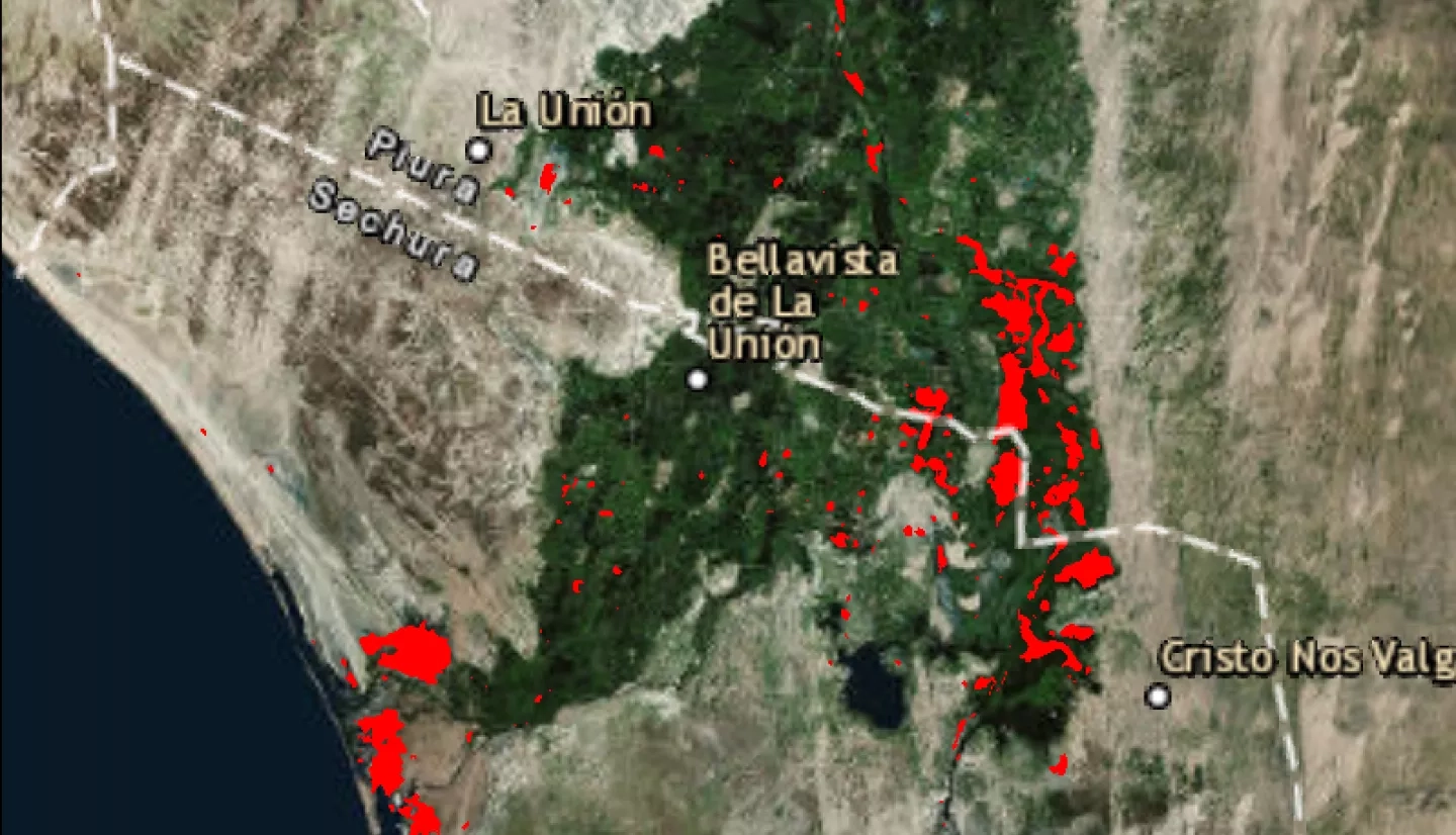
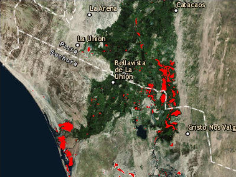
The NASA SPoRT team provided change detection products that highlight recent flood waters in Peru using Sentinel-1 data. These products were developed in conjunction with colleagues at the Alaska Satellite Facility (https://www.asf.alaska.edu/). The change detection is a simple algorithm is based detecting change that is consistent with flooding using a pre- and post-event scene. The product’s final form is a binary geotiffs and a simple training guide was provided to end users.
Download GeoTIFF's and Training Materials Here: ftp://geo.nsstc.nasa.gov/SPoRT/disasters/2017_peru_flooding/


