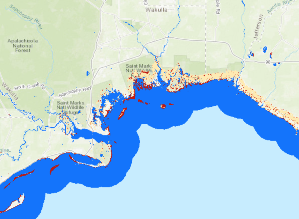
Using data collected from the European Space Agency's (ESA) Sentinel-1B satellite, scientists at NASA's Marshall Space Flight Center (MSFC) are able to create maps of the extent of water due to the effects of Hurricane Michael. The synthetic aperture radar (SAR) aboard Sentinel-1B allows for the detection of water on the surface when clouds are present as well as during the night time hours. This product shows three areas: known reference water (blue), anomalous water identified outside the known reference water areas (red), and water detected in known wetlands or barren land (tan). The areas in red would be the likely flood waters due to the effects of Hurricane Michael.

Published
1010


