Bringing together different countries and sectors to address big issues like climate change or conservation is no small feat. But a team with the SERVIR program—a NASA-U.S. Agency for International Development (USAID) collaboration—is doing just that. Their efforts will help communities in the southwest Amazon handle environmental challenges.
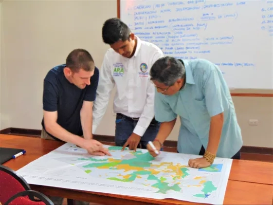
Stephanie Spera and David Salisbury, geographers at the University of Richmond and members of the SERVIR Applied Sciences Team, organized a workshop in Pucallpa, Peru in June to train participants to use geospatial tools and NASA satellite data to improve research and action on environmental issues in the Amazon.
SERVIR exists to connect NASA and USAID with leading geospatial organizations around the world to help communities use geospatial and satellite technologies to address environmental and climate challenges. The program uses events like this to help communities build local capacity to access and use geospatial resources. Such resources include a series of online Amazon dashboards developed by the University of Richmond’s Amazon Borderlands Spatial Analysis Team (ABSAT) using NASA satellite imagery.
“The goal of the project is to understand how changes in forest cover–deforestation and degradation–are affecting ecosystem services like temperature,” Spera said. “These dashboards allow users to visualize what has happened because of deforestation and degradation, and what might happen to temperature, precipitation and evapotranspiration if this region is more degraded and deforested. They allow users to see informal road expansion over the last three decades, and also changes in historical rainfall data.”
According to Spera, the goal of the dashboards is to both provide a useful source of information about the local environment and to allow outside scientists to view environmental changes through the lens of the personal experiences of people in the region.
“The crux of it is connecting the science to the lived experience, allowing people to see data on a map and gain a sense of place, and, importantly, allow users to use this information for sustainable decision-making,” Spera said.
“I like this because we aren’t presenting a platform that is too complicated for a comunero,” said Cesia Babilonia, a member of the Upper Amazon Conservancy, using a local term to refer to an indigenous community member. Babilonia works closely with indigenous communities on both sides of the border, and mentions that what she learned at the workshop can help her better support those communities. “I’m directly involved with our indigenous brothers, and can fortify their capacities in the area of geographic systems, topics which they might need more support for, based on the knowledge that I am obtaining at this workshop.”
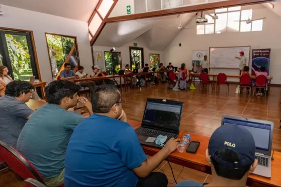
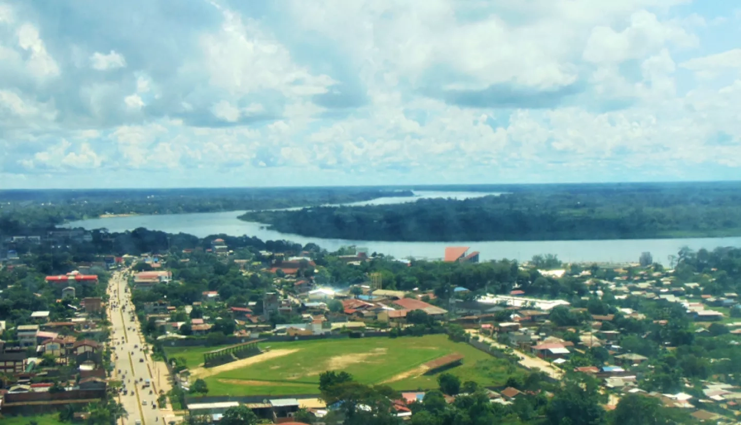
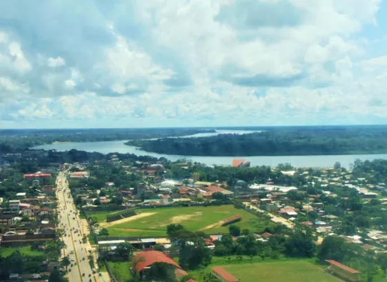
The workshop in Pucallpa convened members of the Transboundary Geographic Group of the Southwestern Amazon, a group that included personnel from government agencies, academia, and civil society groups from across the southwestern Amazon.This region’s relative isolation from large urban centers and major roads helped shelter it from the same level of agricultural expansion that primarily focused on the southeastern Amazon for much of the twentieth century. As logging and agriculture have accelerated in the region, experts have turned more of their attention there —– but because the southwestern Amazon extends across national borders, it experiences unique challenges for research. Different countries, or even different regions within the same country, often do not coordinate with one another when collecting geospatial data or gathering community input about environmental issues.
“I think that spatial analysis in the Amazon should not be restricted to the territories, to the State of Acre, or to any other place because everything is very connected,” said. Sonaira Souza da Silva, referring to Brazil’s most remote western fringes. Souza da Silva is the coordinator of the Applied Environmental Geoprocessing Lab at the Federal University of Acre – in Brazil’s westernmost state – and helped make the Pucallpa event possible.
Participants in the workshop received training in Google Earth Engine, designed maps of roads and climate conditions using the Applied Sciences Team’s data, and networked with other geospatial professionals from the region. Participants also had the chance to provide input on ABSAT’s dashboards.
“This kind of event is very important so that we can have a more regional, not only local, understanding. And it really opens our horizons a lot,” Souza da Silva said. “It reveals the complexity that we have in the Amazon – not only in one specific place, or state, or municipality, or department.”
To learn more about the University of Richmond ABSAT program, visit https://www.absatrichmond.com/absat. To learn more about SERVIR’s work in the Amazon, visit https://servir.ciat.cgiar.org/


