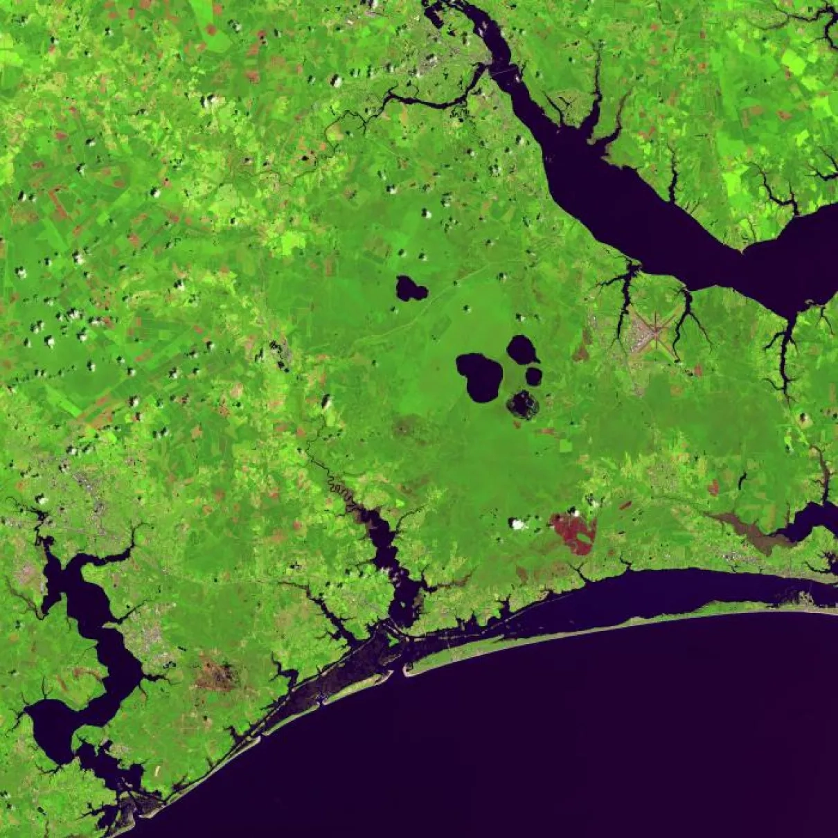
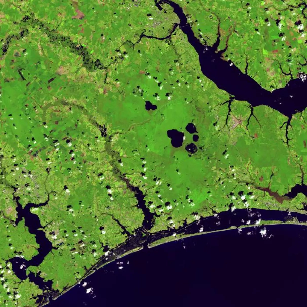
USGS's Operational Land Imager (OLI) on the Landsat 8 satellite has captured optical imagery of devastating flooding in the Carolinas from Hurricane Florence. NASA scientiets are using this imagery to help state and local agencies be better informed for recovery. Before and after Hurricane Florence swept through the Carolinas, the OLI on the Landsat 8 satellite observed several residential areas and major rivers. Post-Hurricane Florence images reveal devastating flooding from the Trent River in North Carolina. The Trent River reached an all-time high of 29 feet on September 17, more than twice the flood stage (the height at which the river will overflow and cause damage). Water levels decreased to 24 feet by September 20, but many homes, public buildings, and roads leading to the town of Trenton, NC are full of standing water.


