Guatemala. Panama. France. Germany. Alabama.
Each of these places has something in common — they’re parts of the world where Betzy Hernández has traveled, studied and worked. As an associate program manager for the NASA Earth Capacity Building program area, a Capacity Building lead within the SERVIR Science Coordination Office (SCO) and a research associate at the University of Alabama in Huntsville, Hernández is skilled at creating worldwide connections. She helps countries strengthen their understanding of Earth observations so they can use these data to find solutions to local challenges.
SERVIR is a joint development initiative between NASA and the U.S. Agency for International Development (USAID). It provides local decision-makers in Asia, Africa and the Americas with the satellite-based tools, training and services they need to act on climate-sensitive issues like disasters, agriculture and food security, water management and land use.
Hernández has spent over a decade working with SERVIR and was part of its first hub in Mesoamerica, a historical region and cultural area in North America that extends from central Mexico through Belize, Guatemala, El Salvador, Honduras, Nicaragua, Costa Rica and up to Panama. She’s led regional land cover mapping activities using Landsat and MODIS imagery to map Central America’s land cover from 1980 to 2010 and helped track the devastation from the Haiti earthquake in 2010.
In her associate program manager role, Hernández supports Capacity Building Program Manager Nancy Searby and helps supervise seven NASA projects which contribute to the Group on Earth Observations (GEO). Four of these projects support the AmeriGEO regional initiative while the other three support the Human Planet initiative.
AmeriGEO helps member countries in the Americas develop capacity to use Earth observations for societal benefit across five topic areas. Human Planet is global in scope, mapping and monitoring human presence on Earth.
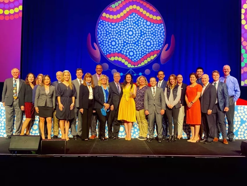
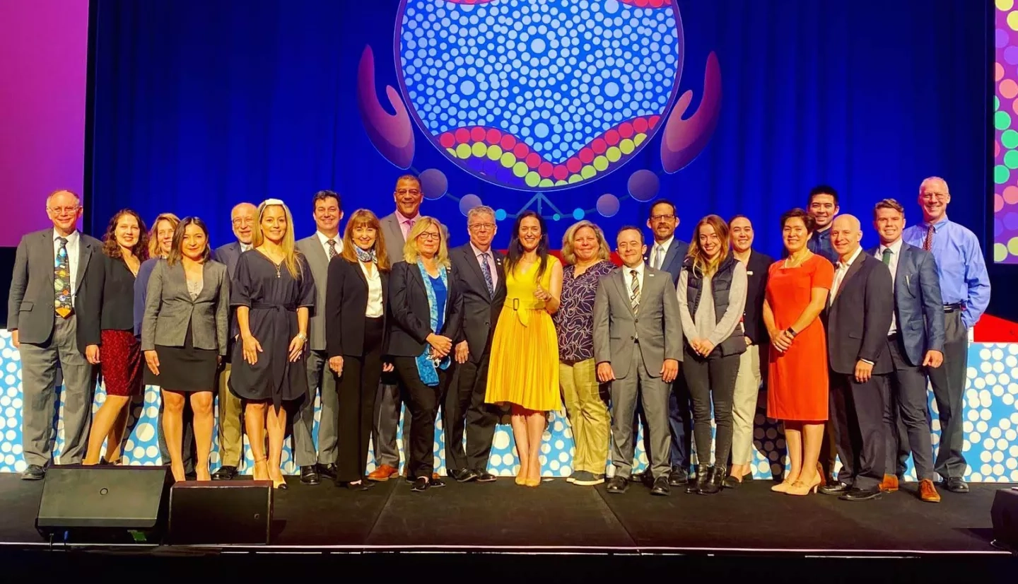
“It has been an honor to be a part of the Applied Sciences Capacity Building program led by Nancy Searby and to be a part of the joint NASA-USAID SERVIR program,” Hernández said. “In the first three quarters of 2020, the Capacity Building program reached more than 161 countries with 17,910 people trained and 78 projects co-designed. The impacts might not always be visible, but the program’s Earth observation capacity building activities have no doubt contributed to more sustainable use of natural resources and better management of disasters.”
We chatted with Hernández to learn what her job entails, the importance of capacity building worldwide and who inspired her to pursue a career as a scientist.
Q: Why is it important to teach people how to use Earth observations as well as connect them with other communities around the world?
A: Countries across the world are experiencing similar challenges in terms of how to apply Earth observation data for land management, disaster management, integrated water resource management — and it’s what makes capacity building crucial. Thirteen years ago, when I worked for the Guatemalan government, we didn’t have access to the types and quality of data we have today. We definitely didn’t have easy access to certain tools and systems, like being able to process satellite data on the cloud instead of having to download large data volumes. So, while it seems that we have largely addressed issues of access to data and tools, the other part of the equation, which does need work, is building capacity to help people use the large volume of data available.
Within the Capacity Building program area, ARSET is increasing awareness and skill to use remote sensing data, information and applications, and SERVIR hubs have integrated capacity building as cross-cutting to their services.
Q: What’s your favorite thing about working with the Capacity Building program area and SERVIR?
A: One of the things I like most about working for SERVIR is collaborating with talented and engaged scientists. SERVIR provides great examples of people using Earth observation data to make better decisions for managing natural resources. And because SERVIR is global in scope, it allows us to learn from each other, as each hub has something to provide which can be replicated in other parts of the world. For example, there are great examples of water mapping work which might have started in the Mekong region and is now being implemented in West Africa, or how West Africa and Amazonia are collaborating on monitoring illegal gold mining.
I think this is the big value of having a global community. We are all interconnected anyway. There is only one planet, so coordinating globally is really important.
Q: What is a recurring challenge of Capacity Building initiatives?
A: One of the most challenging things, and we saw this in SERVIR-Mesoamerica as well as in other regions, is how staff turnover has affected the ability of government institutions to maintain capacity. Sometimes, the technical representative we’d be working with in a country would be very capable, and we might find out some time later that the person had left the position and the institution essentially had to start over in terms of developing its capacity in a certain area.
Q: What project are you most proud of?
A: As an associate program manager, I am proud to have supported follow-up on the NASA-Central American Integration System (SICA) Joint Statement, which has led to the four previously non-GEO members in Central America — El Salvador, Guatemala and Nicaragua — and the Dominican Republic joining GEO. This has increased engagement of the countries in GEO and AmeriGEO.
Along with SERVIR colleagues, and others, I have helped give training webinars to bring technical representatives in the region up to speed on the new data, tools and algorithms available. It’s so exciting. I think the opportunity to share with other countries, with other perspectives, with other incredible scientists from around the world that are doing Earth observation — is amazing.
Q: What project have you worked on that you feel has had the most impact?
A: In terms of recent work, I feel that the collaboration with SICA has resulted in notable outcomes. According to a report that SICA published mid last year about the results of the Joint Statement, they noted that NASA and SICA had collaborated on 70 webinars, reaching 1,500 participants from the eight countries. Those webinars also involved government agencies, NGOs and about 20 universities. The ongoing work in response to the Joint Statement has also impacted other NASA programs within Applied Sciences and Research & Analysis.
What’s even more fascinating is that almost all of the activities conducted over the last almost two years have been virtual, and they have been the result of a team effort. Colleagues from the SERVIR Science Coordination Office, DEVELOP, ARSET, the Disasters program area and other parts of NASA have all helped support these activities. The leadership from SICA, including the Secretary General Vinicio Cerezo, Chief of Staff Olinda Salguero, Technical Advisor Jorge Cabrera, Disaster secretariat Director Claudia Herrera and the hydro-met secretariat Director Berta Olmedo have all been real champions for bringing Earth observations to multiple sectors in the region. The success of the NASA-SICA Joint Statement also contributes to the success of AmeriGEO.
Q: What’s the best piece of advice you’ve been given?
A: More than advice, I’ve definitely been inspired by the examples I’ve seen in my life. Both of my parents are educators — my father is a professor at Guatemala's San Carlos University — and they taught me that education is invaluable and empowering. They each have their own stories of how they had to struggle to study. Their stories always made me, as a scientist, realize how fortunate I was to have them as parents because of how encouraging they were. I am also thankful for the opportunities afforded to me by attending Guatemala's San Carlos University, one of the oldest universities in Latin America.
In my mother’s case, she struggled against a macho culture in Guatemala where she wasn’t expected to go further than elementary school, and where people saw women’s place as being homemakers and not professionals. She fought against that, and I’m thankful to have her as an example [to look up to]. And, in my father’s case, I always felt encouraged to follow in his footsteps to study science. He inspired in me a love and appreciation for nature.
Q: Out of all of the places you’ve visited on Earth, which is your favorite?
A: My favorite place on Earth has to be Semuc Champay, a protected “natural monument” in Guatemala. In Q’eqchi Maya, it means “the river that hides in the mountain.” My parents took me and my siblings there when I was a child, and the place seemed naturally magical with its crystal-clear water and lush tropical forest. Visiting Semuc Champay has always made me feel a sense of awe at nature’s beauty and complexity. For instance, the clarity of the water in the site is because of the quality of the surrounding forests which help to purify the water. For me, it’s one more example of interconnectedness in nature.
Having worked in Guatemala’s National Protected Areas Council (CONAP) also helped me to see that interconnectedness and to understand the importance and value of protecting unique natural places like Semuc Champay. I’m also impressed by the talent and dedication of the people I worked with in CONAP, including my SERVIR colleague Africa Flores-Anderson.
Want to learn more about Hernández’s work? Check out the SERVIR Global webpage, AmeriGEO’s new Inter-American Academy for Geosciences and Applications or the GEO webpage.


