
NASA near real-time data help Lori Schultz respond to agencies that reach out to NASA in the wake of natural disasters.
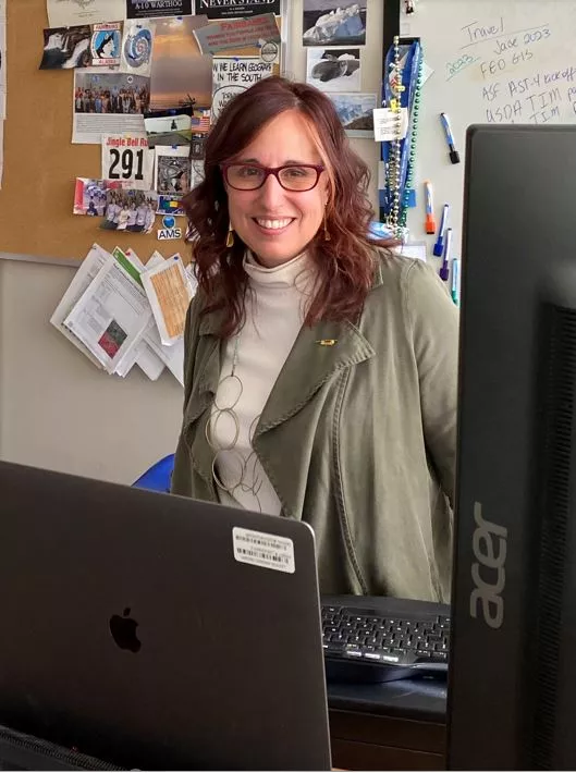
Lori Schultz, Research Physical Scientist and NASA Disasters Program Center Coordinator; NASA's Marshall Space Flight Center
Research Interests: Finding novel ways to use satellite remote sensing data to answer scientific questions, developing decision-support systems that incorporate NASA Earth science data to meet the needs of users, and applying satellite data to disaster monitoring and mitigation, including the use of Synthetic Aperture Radar (SAR) data to detect and monitor flood and landslide risk.
Research Highlights: Without the international constellation of satellites that provide data and imagery of Earth every hour of every day, Lori Schultz, research physical scientist with NASA’s Applied Sciences Program and Center Coordinator of the Disasters program area at NASA's Marshall Space Flight Center in Huntsville, Alabama, wouldn’t be able to do her job. Yet, if you talk with Schultz about her work in any detail, she’ll tell you she spends most of her time addressing more human-oriented, down-to-Earth concerns.
“I spend a lot of time learning about everyone else’s job and then trying to understand where the data we have to offer fit, or don’t fit, such as the case may be,” said Schultz. “One of the things about working in the applied sciences is that everyone uses data in a slightly different way, so it’s about trying to understand how data are going to work for a particular group.”
Schultz describes her work as “finding ways to use satellite remote sensing data to answer science questions,” which is a characterization that supports the NASA Applied Sciences Program's mission to use NASA's unique view from space to address real-world issues.
The Applied Sciences Program, which is part of NASA's Earth Science Division, uses global observations from space, air, sea, and land to help people the world over better understand the planet’s interconnected systems. Through its eight program areas—agriculture, capacity building, climate resilience, disasters, ecological conservation, health and air quality, water resources, and wildland fire—the Applied Sciences Program provides funding and support to NASA’s partner organizations (at the state, regional, national, or international levels) who use these observations in response to some of the world’s toughest challenges.
As coordinator of the Disasters program area, Schultz and the Marshall team often act as satellite data interpreters who assist personnel from response agencies that reach out to NASA for information and observations in the immediate aftermath of a disaster. In those moments, Schultz and her colleagues review the satellite data and imagery at their disposal to see how these resources might support recovery efforts and how her team can serve as liaisons to those leading response activities on the ground.
Read the full story at NASA Earth Data: User Profile: Lori Shultz


