In Fall 2022, the Wildland Fires program area welcomed its autumn interns. Each worked with the program area to identify and solve challenges facing the use of NASA Earth science data to expand NASA's work understanding wildfires.
Here's an overview of each intern in their own words.
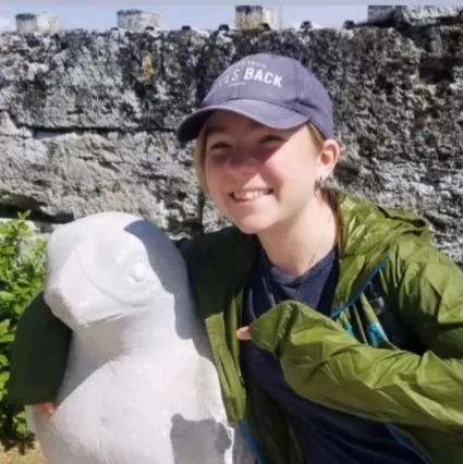
Camila Rodriguez
Hometown: Fort Lauderdale, Florida
Studying: Sustainable Development and Public Health (concentration), Columbia University
Hobbies: Baking sweets for family and friends, speed skating, salsa dancing, cycling, and playing with her rescue dog Joey
What’s next for Camila: After graduating with a B.A. in May 2023, I hope to serve a year in AmeriCorps before enrolling in graduate school for a Master’s in Environmental Management (MEM).
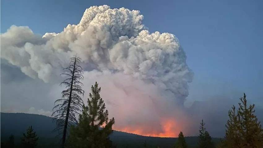
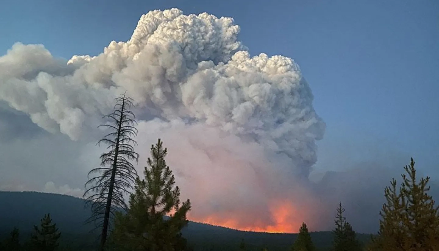
What have you been working on during your internship? I have been working on two projects- the first one is researching wildfire management in Portugal to gain a better understanding of the governing structure and current use of remote sensing. The 2022 wildfire season was the worst season on record in Portugal, so we are trying to understand the current role of remote sensing in helping fire responders and decision-makers in managing these fires, and where NASA data may be able to play a role in strengthening implementation of remote sensing or filling data gaps.
The second project I am involved in is integrating Navteca’s product Voice Atlas to a visualization model of the Hermit’s Peak fire in New Mexico. With Voice Atlas, users can easily access answers from trusted sources for questions about Hermit’s Peak, the fire map and legend, etc. Our hope is that this model will help decision-makers and stakeholders have a better understanding of the factors and data that went into the pre-fire decisions and to see what data might be useful to include to mitigate the risk of a similar incident.
What accomplishment are you most proud of from your work with NASA? It’s exciting to constantly be finding connections between my firsthand experiences with natural disasters in Florida to wildfires. My knowledge of climate adaptation and studies in public health have given me a unique lens through which I view wildfire management and preparedness. Hurricanes and wildfires are very different natural hazards, but I have made many connections of similarities in the human response and incentives for preparedness in both hazards. Since I have lived in Florida my entire life, I am very familiar with all things related to hurricanes and flooding but less so with wildfires. It has been really rewarding to see the translation of my knowledge of the challenges of coastal hazards and hurricanes on public health, environmental justice, and insurance coverage and apply them to my projects.
What’s the coolest thing you’ve learned in your role? All of the interns on our team are very talented and bring a unique perspective and skillset, so I’ve gotten to learn a bit from everyone. It has been interesting to learn about the technology and data used for fire risk assessment, as well as the importance of the social side of fire preparedness. My work in Portugal is focused on both the integration of remote sensing in wildfire management (more technical), the social science side of fire, such as different classifications schemes (negligence, deliberate, accidental, etc.) and gaps in knowledge of fire origins.
I am very excited to continue integrating my work with themes such as governance, incentives for preparedness, defensible space, public health, equity etc. and bringing my experiences and studies in sustainable development and health to our work at NASA Applied Wildland Fire Management Program. Our work touches on almost every field out there, so it’s been exciting to contribute my knowledge across diverse fields towards NASA’s many missions.
Katrina Sharonin
Hometown: Belmont, CA
Studying: Sophomore studying Electrical Engineering and Computer Science (EECS) at the University of California, Berkeley
Hobbies: Rock climbing, hanging out with her dog Kiki, road-tripping, and writing automation scripts to do her homework
What’s next for Katrina: I will continue her studies at UC Berkeley, focusing on computer architecture, algorithm design, and database development. Along with my studies, I hope to remain closely engaged with wildfire research on campus and at NASA.
What have you been working on during your internship? Transitioning from the summer, I continued to work on my thermal data research project for active fire tracking and radiative power classification. The active fire products produced by the VIIRS NOAA-20/S-NPP and MODIS sensors have an important measurement called Fire Radiative Power (FRP). An FRP value is associated with every active fire “pixel” and indicates the radiative energy emitted by the fire. Tools mounted on aircraft, such as MASTER, produce similar energy measurements at a higher spatial resolution. Given the frequency of satellite flyovers, my research takes aircraft MASTER radiative readings and compares them with the “closest time” VIIRS/MODIS FRP readings. Putting the tools together through their radiative measurements will help researchers understand to what extent current satellite active fire algorithms are capable of replicating aircraft fire intensity classifications. With defined performance, scientists can then create additional fire products, such as pseudo polygon categories for “intense heat” versus “scattered heat” regions, which take greater advantage of available satellite readings.
In addition to thermal research, I have also started as a member of the NASA MAAP computational team. Although I am just beginning my work, I am very excited to delve further into algorithm development along with general cloud computing relating to wildfire science.
What accomplishment are you most proud of from your work with NASA? Given the importance of the VIIRS/MODIS active fire products in my current research, I was curious to understand how these products were used outside of the scientific community and instead in the tactical context (i.e. platforms for firefighters and wildfire decision-makers). By communicating with several CAL FIRE contacts and tactical platform developers, I identified how VIIRS/MODIS is viewed and generally used by wildfire management, along with the entailed challenges. By investigating VIIRS/MODIS outside of the research context, I was able to understand what potential changes could improve the user experience for firefighters and decision-makers. In turn, these changes were brought to scientists and encouraged new approaches.
What’s the coolest thing you’ve learned in your role? During my internship, I was given the amazing opportunity to visit NASA Ames and see the labs where MASTER and several other important spectrometers are developed, calibrated, and tested. I learned about the various design considerations and challenges, all of which gave me a deeper understanding of how wildfire sensing data is created and delivered.
These opportunities would not have been possible without the several fantastic mentors I have met along my journey at NASA thus far and for who I will forever be grateful for.
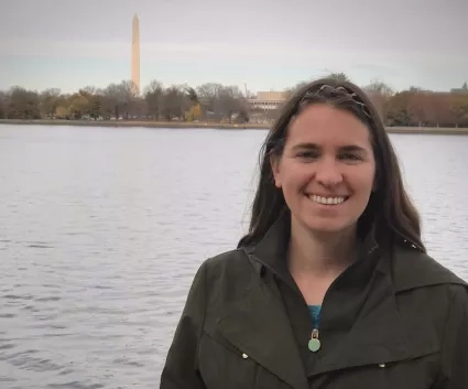
Jenessa Stemke
Hometown: Napa, California
Studying: Senior in nutrition at Oregon State University. Jenessa also holds a B.S. in Plant Biology and M.S. in Environmental Science from UC Riverside.
Hobbies: Jenessa enjoys kayaking, composing themed piano medleys, and concocting new and delicious recipes.
What’s next for Jenessa: Upon graduating, I plan to remain heavily involved in fire science, and use my nutrition degree to assist with improving nutrition and food quality for wildland fire crews. I hope to someday teach remote sensing and a fire GIS class.
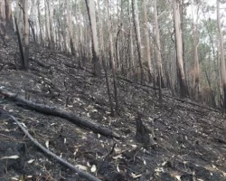
What have you been working on during your internship? This term, I have been documenting lessons learned from my recent visit to an active wildfire. I am also working with my fellow intern Rujula on calculating average vegetation moisture for Ponderosa Pine as a baseline potential indicator of fire hazard. We are looking at how prescribed burns and/or thinning impacts vegetation moisture, fire behavior, and vegetation survival after a fire. Our study site is the area treated by the West Spodue prescribed fire in May 2021. Trees in this area fared much better than surrounding vegetation when the Bootleg Fire burned through just a few months later. We hope to quantify impacts and see how NASA products may be able to provide insight into vegetation health and fire forecasting.
What accomplishment are you most proud of from your work with NASA? In August, I had the opportunity to shadow an incident management team as they responded to the Windigo Fire in Central Oregon, near Crater Lake National Park. For three days, I interviewed the team members on their roles, resources used, and what’s on their wishlist, especially for anything NASA-related. I got to observe discussions on maximizing use of limited resources. I even had the opportunity to help the GIS team with cartographic design. I gained so much valuable information from this trip and relaying that to others who haven’t been able to see fire response in action.
What’s the coolest thing you’ve learned in your role? I learned that many techniques I’ve heard about or thought about are already being implemented in wildfire response, and they are proving effective, and this has renewed my hope. Due to the remote nature of fires, it's hard to follow the latest trends in fire response, and it was so exciting to be able to observe these techniques in action, and to hear from some experts who are at the forefront of this field.
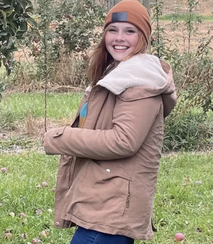
Paige Wirth
Hometown: Madison, Wisconsin
Studying: Environmental Geoscience with a focus on Ecology and Geographic Information Systems and Technology
Hobbies: I love camping, backpacking, and hiking. I also casually compete in bouldering competitions and enjoys big mountain snowboarding.
What’s next for Paige: I will be graduating in December and will then continue work with the NASA Applied Wildland Fire Management Program and NASA FireSense Project in some capacity through August 2024. In 2023 I am planning to begin an ecology master's program and continue research on fire and forest ecology.
What have you been working on during your internship? I have been focused on exploring the natural fire regimes of different ecosystems throughout my internship, and is working on a project that aims to help private landowners reintroduce fire to the landscape through prescribed burn education. I also helped to represent NASA FireSense at the ESRI User’s Conference and am excited to attend the International Conference on Forest Fire Research in Portugal this November. I enjoy collaborating with other professionals within the fire science community.
What accomplishment are you most proud of from your work with NASA? I am most proud of the progress I've made on the Prescribed Burn tool. In the process of creating the tool, I have learned to use ArcGIS Hub and Experience Builder, as well as code in Javascript, HTML, and CSS. Once the project is complete, I think that it will be helpful for landowners to contribute to restoring the landscape through prescribed burning.
What’s the coolest thing you’ve learned in your role? The coolest thing that I have learned since my internship began is in depth information on the role fire has in many of the large biomes across the United States. Everyone in NASA’s fire science community is incredibly talented and have diverse backgrounds within the field, and it has been an amazing opportunity to learn from them.
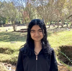
Rujula Yete
Hometown: Cary, North Carolina
Studying: Statistics and Physics at the University of North Carolina at Chapel Hill
Hobbies: Playing guitar, dancing, reading
What’s next for Rujula? As a freshman, I hope to continue exploring wildfire research, interdisciplinary problem solving, and the many applications of data science throughout my years of college.
What have you been working on during your internship? My projects have been focused on using vegetation related data from satellites to predict wildfire characteristics. One of my projects involves using ECOSTRESS data, a remote sensing instrument on the International Space Station, to analyze how plant temperatures are related to burn severity in New Mexico wildfires. My other project is with my fellow intern Jenessa, and we are working to analyze how vegetation moisture levels collected from a variety of satellites can be used as a predictor for fire. We are incorporating the impacts of prescribed fires (specifically in Oregon) and how they can change vegetation characteristics, which in turn affects predictions for future fires. With both projects, I am hoping to develop new techniques for decision makers in fire management to be able to protect and preserve our communities and landscapes.
What accomplishment are you most proud of from your work at NASA? I am most proud of being able to learn the variety of tools used for pre-fire analysis. I was not very familiar with wildfire analysis before starting the internship, so it has been very exciting to dive into the field and gain this experience. My mentors and the other interns on the team have all been incredibly supportive with helping me navigate the vast sources of data and their analysis techniques.
What’s the coolest thing you’ve learned in your role? I was amazed to learn about just how widespread and collaborative the network of wildfire research is. In the NASA Applied Wildland Fire Management Program and FireSense Project, we are working together with people across NASA centers, government agencies, universities, private companies, and international partners to constantly develop solutions and improve our fire management practices. I have loved being able to meet researchers from various fields and backgrounds who share the same passions in the fire community.