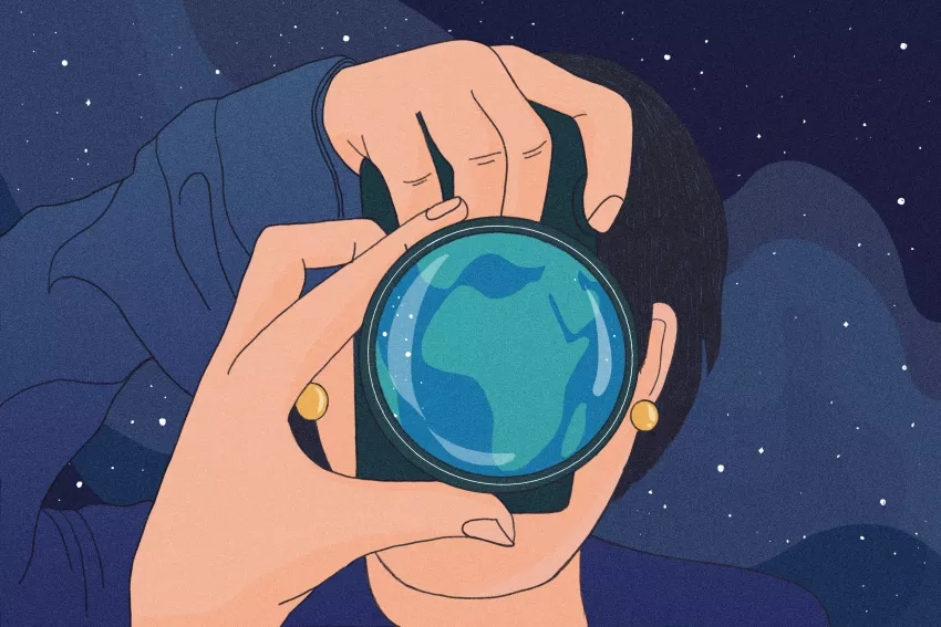

Do you recognize the African continent from this height? What you’re seeing is actually a compilation of light and dark images of the continent taken from space.
This image was created using a combination of satellite data and processing techniques from several NASA satellites and instruments. Specifically, its combined images from: The Advanced Very High Resolution Radiometer (AVHRR), the Normalized Difference Vegetation Index (NDVI), SeaWiFS, the Moderate Resolution Imaging Spectroradiometer (MODIS), the Defense Meteorological Satellite Program (DMSP), the Sky2000 catalog data and, finally, the National Centers for Environmental Prediction (NCEP).
Let’s take a closer look at Egypt in northern Africa.
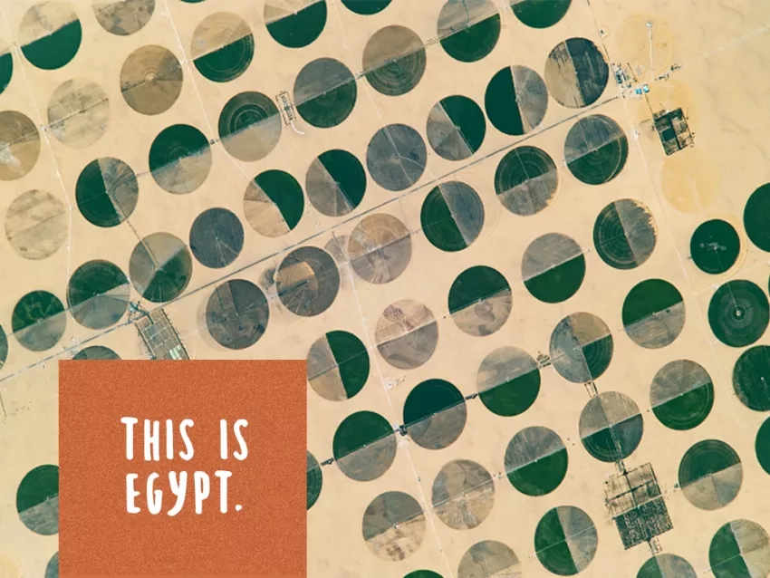
An astronaut aboard the International Space Station took this photograph of circular farming patterns in Sharq El Owainat in southwest Egypt. This image was captured with a Nikon D4 digital camera using a 1600-millimeter lens.
Now, let’s zoom in one last time.

This is Andi Brinn Thomas. Thomas currently works as an Earth science outreach specialist at NASA’s Goddard Space Flight Center in Greenbelt, Maryland for NASA Earth Observatory and the Earth Science Data Systems program. She first connected with Earth Observatory in 2016, when she started writing stories on astronaut photography for their Image of the Day series. The photograph above is one of many images she has written on from the International Space Station’s vantage point.
Thomas has been immersed in astronaut photography for years. During a NASA internship in 2016, she cataloged these photographs for hours every week using only the geographic location of an image, which had been approximated by projecting the Space Station orbital position directly downwards onto the Earth surface — scientists refer to this as the nadir point. Putting her geo-locating and deductive reasoning skills to the test, she pinpointed the exact location of thousands of images taken of Earth from space.
After a summer spent working on astronaut photography with NASA’s Earth Science and Remote Sensing Unit, she joined the team full time. It wasn’t long before Thomas started writing stories and researching how to better explain what these images mean and how they can contribute to research.
“We always talk about how small we are but whenever you look at the human impact over the Earth, you see how much we were able to move and shake and change this massive planet,” Thomas said. “One thing I really love about astronaut photography is zooming in on Earth and seeing what it looks like at higher resolutions, and then dialing it back and eliminating the human patterns that aren’t seen as well at lower resolutions. We can then focus more on the natural shape of our planet.”
Thomas went on to support NASA Extreme Environment Mission Operations (NEEMO), processing imagery of the Carpenter Basin seafloor off the coast of Florida for astronaut analog missions, creating 3D astromaterials samples from photographs and operating the Crew Earth Observations payload, to name a few broad tasks. With her degree in Geography, Resource and Environmental Studies from Texas State University and an eagerness to learn, Thomas maintained flexibility to work on diverse projects throughout her early career.
Before her current role, she was a regional science associate with the Capacity Building program area’s SERVIR Science Coordination Office. SERVIR is a joint development initiative between NASA and the U.S. Agency for International Development (USAID). It provides local decision-makers with the tools, training and services they need to act on climate-sensitive issues like disasters, agricultural security, water management and land use. Thomas worked for the Eastern and Southern Africa hub to help support applications in water resources management.
Today, Thomas supports several NASA projects including Earth Observatory, NASA Earth Observations (NEO) and Earth Observatory Natural Event Tracker (EONET), to name a few. She brings together all of her skills and applies them to outreach and project plans, science writing and website strategy, among several other tasks.
And while she’s worn many different hats during her tenure at NASA, there’s one constant theme - applying Earth science.
“My job from the beginning, whether I was in applied sciences or not, was very much about applying the science,” Thomas said. “I was never in the lab doing tests, fighting to publish science papers or building sensors in the engineering world. It was always about communicating the science or explaining how we can see what others aren’t seeing.”
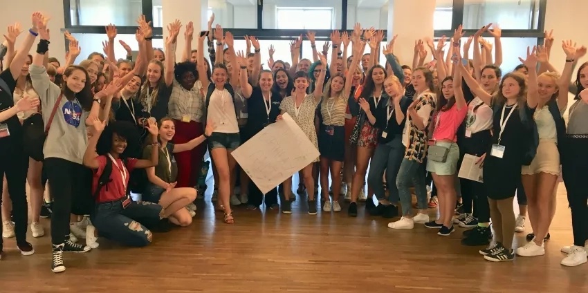
With a deep interest in all things Earth science, it’s only fitting that one side project Thomas worked on is tied to STEAM (Science, Technology, Engineering, the Arts and Mathematics). While Koh Phi Phi — an island off of Thailand — is one of her favorite places on Earth, Thomas has a soft spot for both Pristina, Kosovo and the capital city of Estonia, Tallinn. She participated in both locations as a mentor at a science camp called WiSci, an intensive summer STEAM camp for girls from around the world.
"There’s so much love and it’s so fun, and they’re all coming from very different countries — some with intense historical conflict that has left deep-seated scars,” Thomas said. “We’re all coming together and making everlasting friendships. So [those] are my favorite places because of the people and the experience of teaching what I do in Earth science to these eager-to-learn girls looking to go into STEAM careers.”
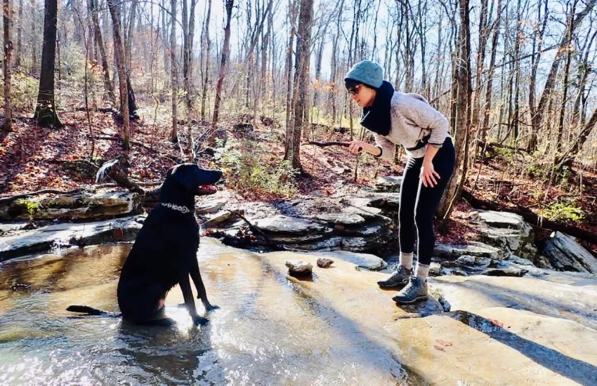
With the little down time she has, Thomas can be found going on runs, tending to her garden, throwing a ball around with her dog Aurora — Rori for short — and sitting around a fire with family in Knoxville, Tennessee. The rest is mostly work.
“I love my job,” Thomas said. “Everybody [at NASA] is very, very passionate, even when something horrible is happening in the world. There’s a lot of support.”