The DEVELOP Program is built around the mission of building capacity in both its participants and partners while pursuing interdisciplinary research projects that apply the lens of NASA Earth observations to community concerns around the globe. Capacity is built in remote sensing analysis, science communication, technical writing, and partner engagement. In unique situations, project teams that are close in proximity to their project’s study area may also have the unique opportunity to develop field data collection skills to support the validation of satellite remote sensing data. This was the opportunity that one team at DEVELOP’s Colorado location got to experience in the fall of 2019.
“Collecting our own field data really enhanced my experience with DEVELOP—we were able to learn about our study area with a stronger ecological lens and understand the landscape on multiple scales.”
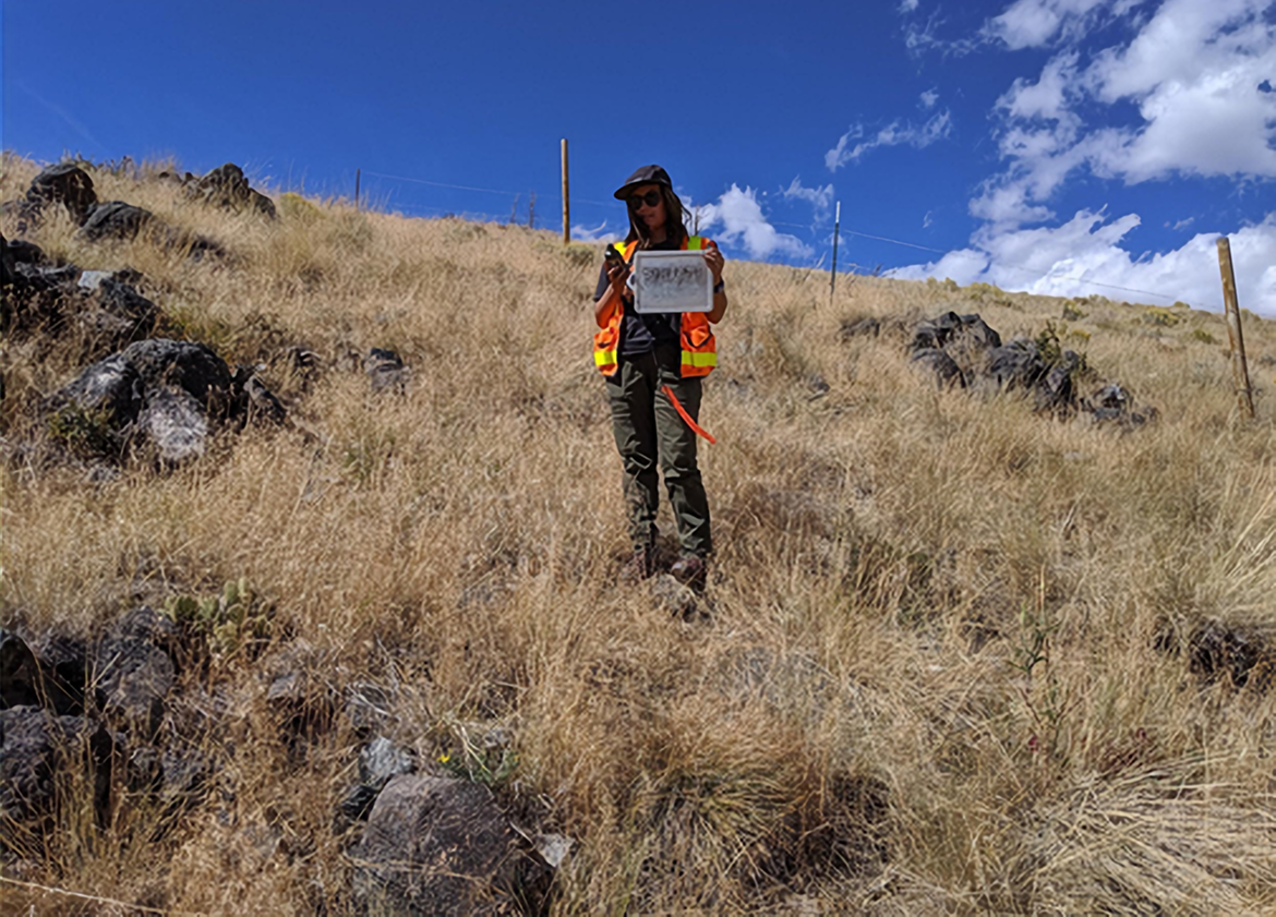
Week 1 of the fall 2019 term, the Medicine Bow Disasters team set out to the Medicine Bow National Forest to learn about collecting remote sensing-oriented field data for their DEVELOP project. The project, which aimed to map cheatgrass post-aerial spraying, required in situ field data representing areas with and without cheatgrass. Cheatgrass is an annual invasive grass that outcompetes native vegetation and can be found throughout the U.S.; however, it is mostly concentrated in the Intermountain West.
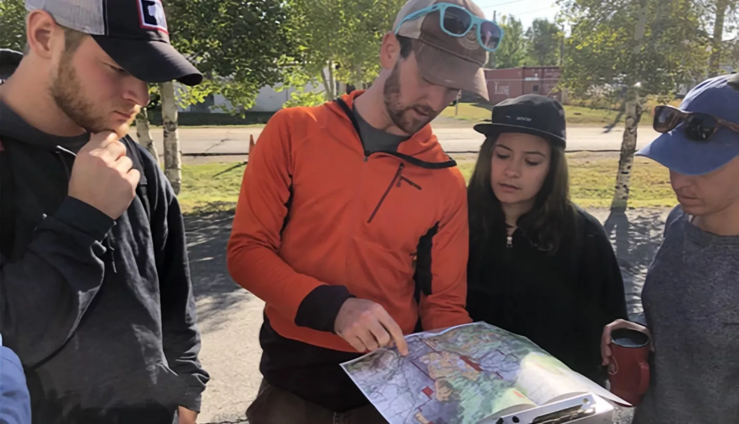
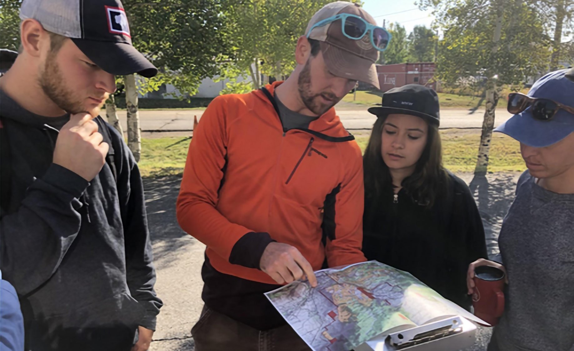
The team first met with their partners from the U.S. Forest Service in-person to learn and discuss the issues and decisions they make surrounding the invasive species. After the meeting, they divided into sampling teams led by science advisors from the Colorado State University Natural Resource Ecology Laboratory. Each group followed a protocol to record land cover in 7m radius circles with varying proportions of cheatgrass.
These points were later used as training data for multiple models the team generated using the Software for Assisted Habitat Modeling (SAHM), a modeling framework developed by the U.S. Geological Survey that streamlines the processing and modeling workflow for species distribution models. This fieldwork was a rare opportunity for DEVELOPers and was impactful to their experience with the program. Project Lead Chiara Phillips stated, “Collecting our own field data really enhanced my experience with DEVELOP—we were able to learn about our study area with a stronger ecological lens and understand the landscape on multiple scales.”
Why is it so important to have remote sensing-oriented field data?
Science Advisor Peder Engelstad says, “In situ field data allows us to establish tangible connections between remotely sensed imagery and on-the-ground ecological processes and patterns.” The Colorado DEVELOP location’s commitment to valuable field experiences isn’t a new concept. The natural resource focused location looks for opportunities for their annual projects to connect participants to their project’s study area and develop field skills. Past field opportunities have included learning about chlorophyll-a sampling in Rocky Mountain National Park’s alpine lakes, collecting Landsat-aligned plots for tree species, height, etc., and surveying riparian vegetation data in Utah to map invasive tamarisk along the Colorado River.
“Our partnership with NASA DEVELOP has enabled us to use more ecologically sound practices during our post-fire herbicide applications...When we have well-planned projects that maximize effectiveness while minimizing waste and overspray, the entire ecosystem benefits—as do local communities who rely on ecosystem services for their livelihoods.”
These experiences not only allow the teams to understand the connection between the field and the screen but also involve valuable interactions with partners and scientists. However, not all projects at Colorado focus on the immediate area—projects have also focused in other regions of North America and beyond, where teams rely on robust NASA Earth observations, in situ data provided by project partners and other remote sensing information to conduct their projects.
By leveraging a detailed dataset they collected themselves, the Medicine Bow Disasters team created a well-calibrated cheatgrass presence probability model that the partners can employ in future decision making surrounding cheatgrass management. The partners said, “Our partnership with NASA DEVELOP has enabled us to use more ecologically sound practices during our post-fire herbicide applications. The accuracy of the cheatgrass probability model, together with the precision of helicopter application, has resulted in highly targeted treatments. We were able to successfully identify and suppress growth in areas with abundant cheatgrass, often seeing an 80-90% reduction in cover in the following year. At the same time, we avoided unnecessary treatment of areas with little or no cheatgrass, and in the process, we reduced the amount of herbicide applied to the landscape. When we have well-planned projects that maximize effectiveness while minimizing waste and overspray, the entire ecosystem benefits—as do local communities who rely on ecosystem services for their livelihoods.”
This type of collaboration between DEVELOP and partner organizations through every stage of the project process leads to a positive experience for everyone involved and powerful project results. It is this attentiveness to capacity building that makes NASA DEVELOP an invaluable experience for an early or career-transitioning scientist.
