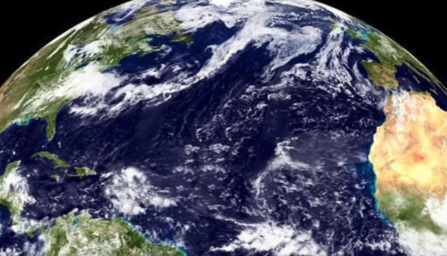
With a surface area of more than 41 million square miles (106 million square kilometers), the Atlantic is the world’s second-largest ocean and home to the Atlantic bluefin tuna.
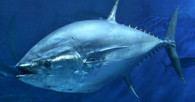
The bluefin tuna is one of mightiest fish in this ocean. Adults can weigh more than 800 pounds (363 kilograms) and sail through the water at speeds of 45 miles per hour (72 kilometers per hour). It’s also one of the few warm-blooded fish, which allows it to thrive from the Gulf of Mexico northward to the cooler waters of the Norwegian and Mediterranean Seas.
Bluefin tuna also happen to be delicious, making them one of the most important commercial and recreational species for fishing in the United States and abroad. The tuna’s popularity combined with its slow growth rate, however, has made it especially susceptible to overfishing. Populations have been declining since the 1970s, and now this extraordinary species is considered endangered. NASA partnered with NOAA to turn environmental data from satellites into new information about where the bluefin spawn. The goal is to improve stock assessments designed to make sure there are plenty of bluefin tuna in the sea.
“By applying daily satellite sea surface temperature and chlorophyll, we have been able to construct real-time models of larval bluefin tuna abundance in the Gulf of Mexico.”
- John Lamkin, National Marine Fisheries Service
The National Oceanic and Atmospheric Administration’s (NOAA) National Marine Fisheries Service (NMFS) Southeast Fisheries Science Center is responsible for assessing the Atlantic bluefin tuna populations. NMFS also makes recommendations to the International Commission for the Conservation of Atlantic Tunas (ICCAT), the governing body for stock management. What’s more, the U.S. Sustainable Fisheries Act stipulates that NMFS must manage fish populations to produce maximum sustainable yields, so having access to accurate population assessments is critical.
Using a space-based approach to improve current assessments of the Atlantic bluefin tuna population, a NASA Earth Applied Sciences team partnered with NMFS, academic researchers, and commercial scientists to integrate NASA Earth observations into the assessment.
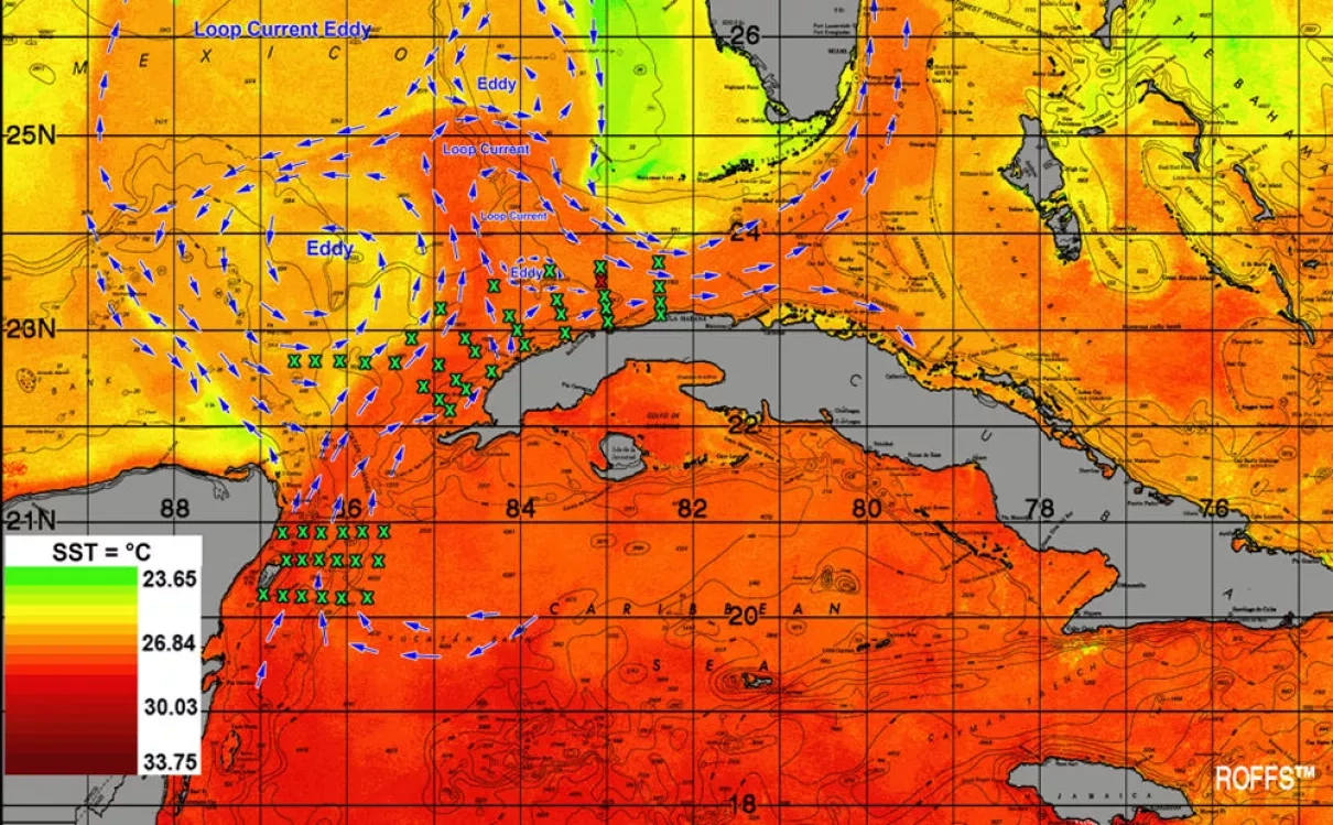
Normally when fisheries make assessments of a fish’s population, they monitor spawning habitats and conduct surveys of larvae abundance. For this project, the team combined the larval abundance and variance data with environmental observations from satellites and in situ measurements of salinity, bottom depth and other factors. By combining these variables, the team developed a habitat classification model that predicts where fisheries can locate and capture bluefin tuna larvae for assessment.
“Satellite-derived data provides an overview of ocean conditions that are not available from traditional shipboard measurements,” said John Lamkin, a fisheries oceanographer at the NMFS Southeast Fisheries Science Center. “By applying daily satellite sea-surface temperature and chlorophyll, we have been able to construct real-time models of larval bluefin tuna abundance in the Gulf of Mexico.”
The project team used the model and satellite observations to forecast larval occurrences, and this new method of classifying spawning habitats proved successful – the team caught over 13% more larvae in 2011 than in 2009. Additionally, the team used the technique to survey and catch larvae from an area off the Yucatan Peninsula, where larvae had not been previously documented.
When the project wrapped up, the collaborators transferred the habitat classification models and methods to the NMFS Southeast Fisheries Science Center. They also trained fisheries managers and research personnel at NMFS on these new techniques. NMFS now routinely uses satellite observations in its surveys and stock assessment process for Atlantic bluefin tuna.
Since the initial Yucatan Peninsula assessment, the new models and data identified areas of previously unknown tuna spawning locations off of the coast of Cuba and in the Bahamas. Lamkin confirmed the presence of tuna larvae in the waters around Cuba when he surveyed them aboard the NOAA research ship Nancy Foster.
“This capability greatly expands our understanding of larval bluefin ecology, and has allowed us to target specific areas, resulting in the development of an improved larval index,” Lamkin remarked. “This index is used by the ICCAT as part of the stock assessment process and is the only fisheries independent survey for Atlantic bluefin tuna.”
This story is part of our Space for U.S. collection. To learn how NASA data are being used in your state, please visit nasa.gov/spaceforus.