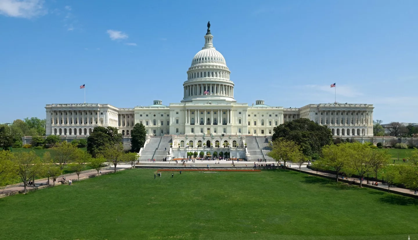
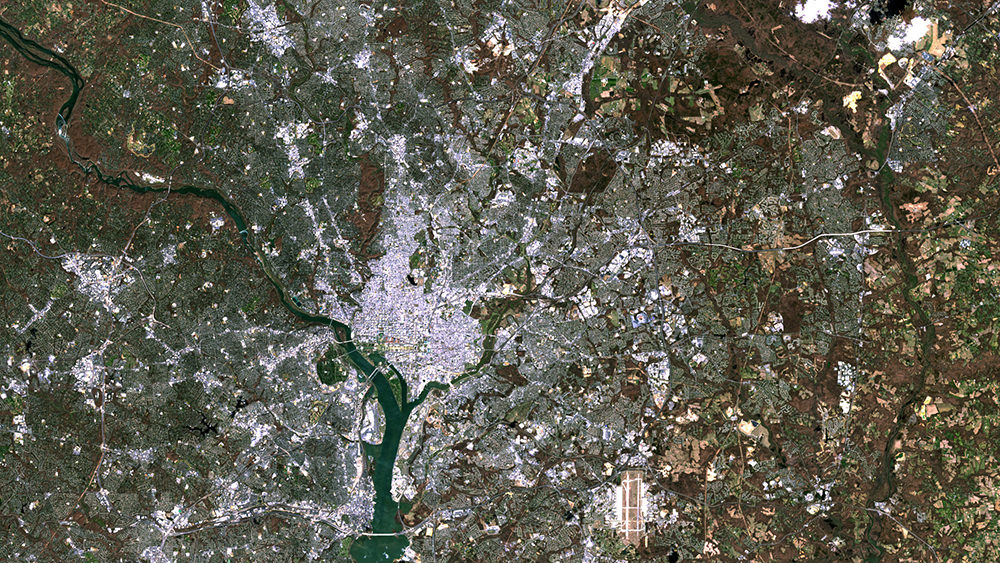
Washington, D.C., home to the federal government, also hosts millions of people living, working and just passing through the metropolitan area each year. Infrastructure maintenance is crucial, including watching for the potential effects of climate change. Washington is already feeling the effects of extreme weather, such as rising temperatures and recurring flooding from the Potomac. Climate scientists predict that these changes will continue, becoming more common and more intense.
For a city built along the bank of the Potomac River, this new normal will impact people, property, and natural resources. It will likely alter, and potentially disrupt, the way D.C. functions and where its residents live.
With Washington’s susceptibility to the effects of climate change in mind, NASA spearheaded an effort to bring stakeholders together to discuss their climate-adaptation strategies for the region. In the fall of 2013, NASA led a multi-organization steering committee that set up a series of webinars and workshops.
Representatives of more than 30 federal, regional and local agencies and organizations participated in these meetings, sharing their expertise, information and tools. More importantly, they coordinated around a collective goal for how best to inform policy-making.
The vision for these workshops was to build a climate-resilient National Mall and National Capital Region based on science-informed planning and sound risk management. The workshops were based on the premise that climate change poses a serious threat to the systems upon which the government and economy of the D.C. region – and the U.S. as a whole – rely. By understanding their shared vulnerabilities and then coordinating strategies, organizations in the area learned to leverage their limited resources most effectively.
The following spring of 2014, approximately 40 people from 20 agencies participated in a second group of webinars and workshops that addressed the region’s workforce, community and natural systems. The group examined vulnerable systems, including workforce commuting, working conditions, urban forests and managed landscapes, water quality, and drinking water supply.
Using regional climate change projections generated by NASA climate scientists, many agencies in both discussions identified severe events – including heavy precipitation, heat waves, and sea-level rise combined with storm surge – as top climate-related threats to the Washington metro region.
“Understanding trends is helpful for planning, and multiple sources will provide better science.”
–Ann Trowbridge, Smithsonian Institution
While slow and steady climate change was a concern, the consensus was that it posed less of a danger than sporadic severe events. In either case, participants agreed that they needed to take immediate action to mitigate actual and potential threats to area systems and resources.
One venerable D.C. entity was already doing just that. With dozens of museums and research centers under its administration, the Smithsonian Institution (SI) houses more than 150 million iconic and invaluable items. With so much history at stake, Smithsonian facilities’ Associate Director for Planning Ann Trowbridge attended the workshops and webinars. For Trowbridge, it provided another essential source of information to help guide SI’s climate change adaptation for flooding and sea level rise.
“Understanding trends is helpful for planning,” she said. “And multiple sources will provide better science.” According to Trowbridge, SI plans to reduce the impact of extreme weather and climate change by moving collections from vulnerable storage spaces, building flood gates at loading dock ramps, and installing better storm-water protection measures.
As a result of the workshop series, NASA learned more about climate resilience issues faced by federal, state and local resources managers. Working together, the vital agencies and organizations of the National Capital Region are helping to keep the city growing and thriving.
This story is part of our Space for U.S. collection. To learn how NASA data are being used in your state, please visit nasa.gov/spaceforus.


