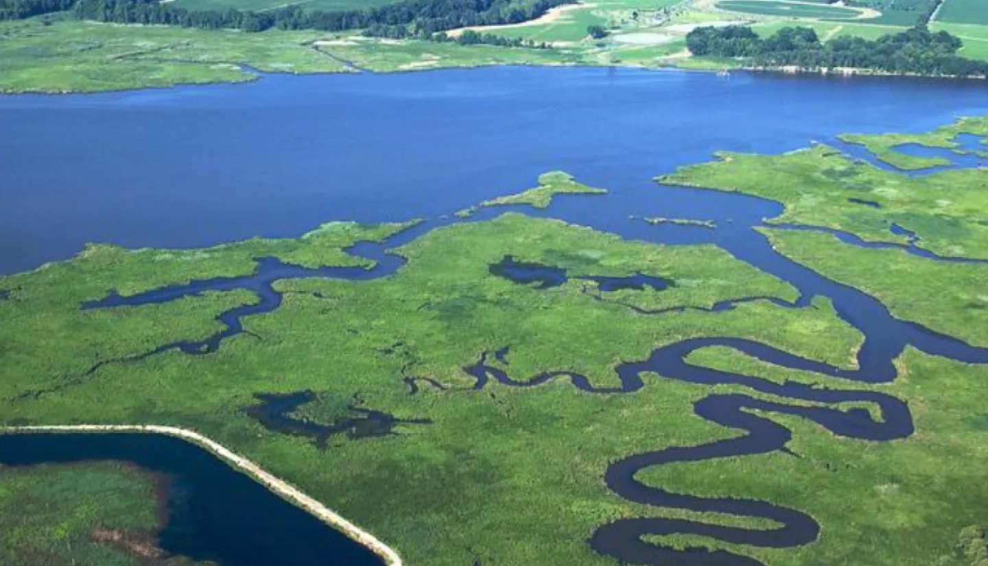
North America’s largest estuary, the Chesapeake Bay, is a complex ecosystem of critical habitat for marine life, aquatic plants and migratory birds. With help from NASA satellite data, Maryland developed a statewide incentive program for farmers to plant winter cover crops after the summer harvest to stem the flow of harmful runoff into the Chesapeake Bay.
The bay “provides a vital fishery for the seafood industry and provides recreational opportunities for citizens – like boating, fishing, and nature-related activities,” said Jason Keppler, a watershed implementation program manager at the Maryland Department of Agriculture (MDA).
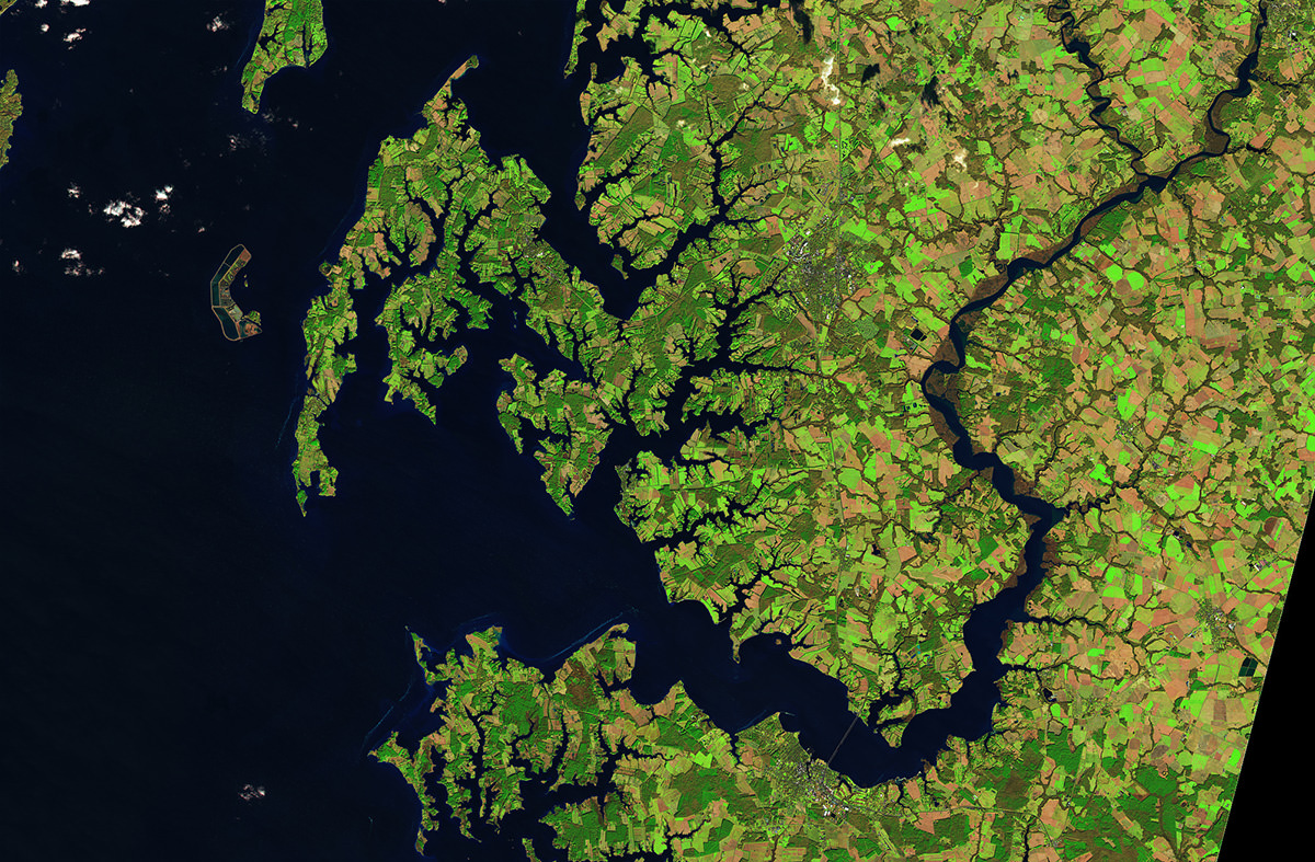
Composed of a web of nine major rivers covering six states, the bay’s watershed is a constant source of sediment, excess nutrients and pollutants that end up in the bay. “In this area of the Eastern Seaboard we have a high density of urbanization, mixed with agriculture, mixed with forestry and recreational land uses, and so the management together is quite complex,” explained Dean Hively, a U.S. Geological Survey (USGS) research physical scientist. Hively promotes effective implementation of agricultural conservation practices in the Chesapeake Bay watershed.
As a natural way to stem the flow of runoff into the bay, Maryland has a statewide incentive program for farmers called the Winter Crop Cover Program (WCCP). Winter cover crops – including small grains such as rye, wheat, and barley; and legumes such as clover and hairy vetch – are crops planted following the summer harvest.
“Winter cover crops have multiple benefits, including reduction of nutrient and sediment losses from farmland, improvement of soil structure and soil health, increased infiltration of rainwater, and quicker drying of soils in springtime,” said Hively. “The alternative to cover crop use is to leave fields in a bare fallow – which increases the risk of leaching of nitrogen into groundwater, and the erosion of sediment while soils are exposed over the wintertime.”
Earth-observing data are a staple in Hively’s and Keppler’s work with MDA and the WCCP. Satellite imagery is used in December of each year to measure fall cover crop growth and nutrient uptake, and MDA cost-share enrollment records are used to match performance measures with agronomic management details. The resulting analysis provides feedback about which cover crops are working well and which could be improved.
Due to limited resources, MDA was able to focus its satellite verification only on a few small areas of Maryland farmland. That changed, however, when it began collaborating with NASA DEVELOP, a NASA Earth Applied Sciences program that addresses environmental and other Earth science issues through strategic partnerships.
Keppler and DEVELOP teamed up with Hively and Greg McCarty from the U.S. Department of Agriculture’s (USDA) Agricultural Research Service to expand the project’s data and scope. The team used satellite imagery to see from space whether there was any green vegetation in the four counties. Combined with data collected on the ground, the team analyzed the makeup and size of the winter cover crop fields.
The DEVELOP team automated the process for determining the effectiveness of the WCCP using Google Earth Engine, which will allow MDA to conduct near real-time monitoring of winter cover crops at various locations and different times.
“By incorporating satellite data into our business process, we are gaining efficiency in management, as well as ensuring effective use of state resources.”
–Jason Keppler, Maryland Department of Agriculture
Hively said that the DEVELOP project has already provided new insights for the WCCP. “Results show that early planted cover crops perform better, as do planting methods that have better seed-soil contact,” he noted.
The results are also being used for statewide analysis, Hively explained, to better understand how the program is keeping nutrients and sediment out of the bay, measure the program’s cost effectiveness, and determine how farmers benefit from participation. “By incorporating satellite data into our business process, we are gaining efficiency in management, as well as ensuring effective use of state resources,” Keppler said.
This story is part of our Space for U.S. collection. To learn how NASA data are being used in your state, please visit nasa.gov/spaceforus.


