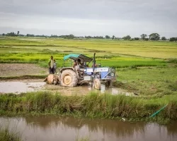
A new NASA-supported project in Mali is now using Earth observations to help scientists, governments and decision makers view crop conditions across large swaths of land, and even anticipate how crops will fare in the future. This project builds on an on-going NASA Harvest-Lutheran World Relief Project Relief 2 Resilience, which has supported more than 8,000 farming families in Mail,
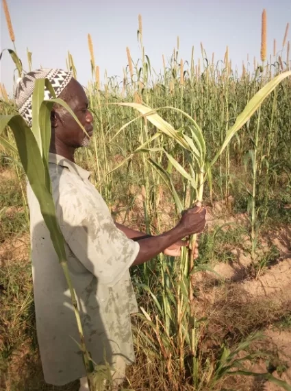
Partnering with Lutheran World Relief, Nakalembe’s team communicates with local decision makers to collect on-the-ground information about land and crop conditions. While it’s impossible to visit every field in the country – especially due to insecurity – with each new season, these details from specific fields help “validate” the satellite data, confirming that what the satellites see from above matches conditions on the ground so farmers and decision makers know they can rely on the information coming from space. Mali has a complex agricultural system – it requires nuanced methods and data to develop appropriate maps to support the data needs of the early warning commission.
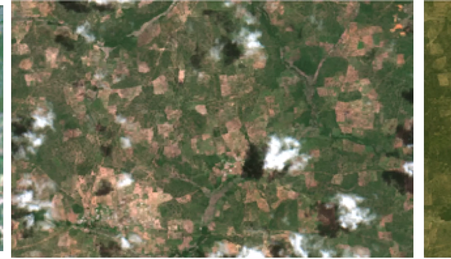
A recent NASA/USAID project “Estimating Cropped Area and Production in the Feed the Future/Mali Zone of Influence” is now focusing on developing and providing updated datasets critical to these efforts in a timely way. The NASA Harvest team is driving the effort forward by first identifying available high-resolution satellite imagery for past seasons that correspond to the available data from the ground, then by examining possible conditions for future seasons.
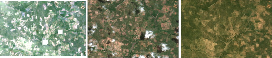
“Satellite observations are a critical source of information for assessing conditions remotely in regions experiencing conflict, where ground-based surveys are inaccessible due conflict and COVID-19 restrictions,” said Hannah Kerner, machine learning lead for NASA Harvest. “We are using multiple Earth observation sources with machine learning to produce high-quality, high-resolution maps of crops and agricultural variables to evaluate the impact of farming interventions and assess agricultural productivity.”
The Harvest team, which began working with Lutheran World Relief on the Relief 2 Resilience project in Mali in April 2019, also trains local government ministries on how to access and use the combined satellite and ground data. This helps to inform decisions about crop management and to share that information with local farmers. Next, the team will gather new ground data on crop type and yield to develop and train machine-learning algorithms that can be used with satellite imagery to produce cropland maps, estimates of crop yield, and indicators of crop condition where visiting farms on the ground isn’t possible.
For a deeper dive into the details of this project, read the highlight featured in the U.S. Agency for International Development’s Agrilinks blog about this work in Mali, and Lutheran World Relief’s blog post highlighting the start of this collaboration