Fabio Siksei reminiscences on the sizzle of of freshly caught fish on a beachfront grill as waves from the cobalt blue Pacific Ocean roll ashore. Now a fisheries specialist with Palau’s Bureau of Marine Resources, Siksei grew up near the country’s famed Rock Islands Southern Lagoon in this archipelago nation in Micronesia.
"We would go to the Rock Islands, spend a couple of nights there, and we would go fishing," Siksei says. "Most Palauan kids have almost the same experiences growing up."
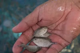
Surrounded by a 200-mile radius of scenic ocean and coral reefs that make for a scuba diver’s paradise, the country’s economy relies primarily on tourism and fishing. But in recent years, populations of rabbit fish and other staples of their cultural diet began to dwindle because of a combination of factors, including increasing food demand and changing ocean conditions.
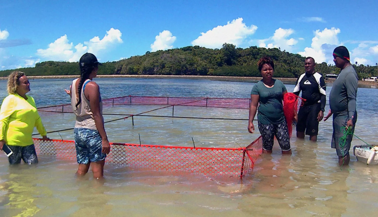
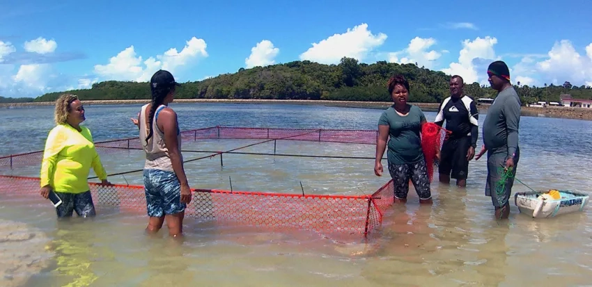
To meet the country’s need for food supplies and keep traditions alive for future generations, Siksei and others are working with international scientists to build sustainable aquaculture farms in the ocean. With support from NASA's Applied Sciences Ecological Forecasting program area, they are using NASA satellites data to help protect the nation’s pristine waters, coral reefs, and shorelines.
"They’ve developed a novel method in terms of using Landsat data to estimate the bathymetry in shallow areas," said Maurice Estes of Ecological Forecasting. He helps manage the project, and added, "The challenge of sustainable food supplies being addressed by this project is a global challenge."
Siksei says a key bit of information was the knowledge that fish populations were declining. "That was reason enough for the fishermen to start thinking about management issues,” he said. “We talked with fishermen about ensuring that our fish are there and our resources are there, also about ensuring that our culture continues to thrive for generations to come, because fish is a big part of our life.”
The full version of this story can be found at NASA.gov at NASA Satellites Help Plan Future for Palau Fish Stocks.
NASA at Your Table is a series of articles, videos and other features highlighting how NASA data, satellites and other assets are in use to preserve the nation's agriculture.
This story is part of our Space for U.S. collection. To learn how NASA data are being used in your state, please visit nasa.gov/spaceforus.