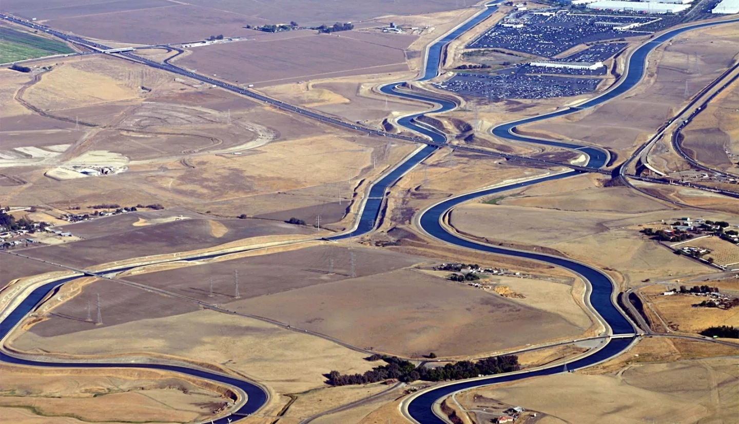
California is more than the land of celebrities, surfing and Silicon Valley. The state’s fertile soil and mild climate make it a leader in agricultural production. Stretching approximately 450 miles (724.2 kilometers) through the center of California, the Central Valley holds some of the most valuable agricultural land in the world. Despite the fact that this region is regularly visited by drought, it produces an estimated one-quarter of America’s food.
When faced with a water shortage, agricultural land in the Central Valley that remains unplanted, or “fallow,” tends to increase markedly, because farmers are unable to fully irrigate their crops. Farmers will often use their limited water supplies to sustain the higher-priority perennial crops on their farms and ranches. When farmers take land out of production, their income and agricultural sales decrease. In turn, unemployment tends to increase among farm workers and related businesses. The situation was especially extreme during the state’s historic drought from 2011 to 2017.
“We see this project as a first step in improving our use of remote-sensing information over the long term.”
–Jeanine Jones, California Department of Water Resources
Working with the California Department of Water Resources (DWR), the U.S. Department of Agriculture (USDA), and other state and federal agencies, a NASA Earth Applied Sciences team used Earth observations to see if data from above could fill the gaps in land data from the ground.
“The satellite imagery provides a way to unify disparate anecdotal information,” said Jeanine Jones, the interstate resources manager at DWR. “If a program is tasked with providing assistance to drought-affected areas, the imagery can provide a validation of eligibility for assistance.”
Before this project, there was no source of timely, comprehensive information on the extent of fallowed acreage during a growing season to support drought response and decision making. The standard was USDA’s Cropland Data Layer (CDL) data, which included idle land–and that wasn’t available until January of the following year.
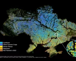
With this project, the team modified the CDL and applied it to support within-season mapping of fallowed agricultural lands from March to September 2014. The results produced maps depicting crop development on more than 200,000 fields in the Central Valley.
The DWR received the maps and summary data within two weeks of the end of each month. This not only demonstrated the feasibility of mapping idle acreage within season, but also represented a 10-month improvement over previously available information. Officials can now use the project data to make drought assessments and quantify impacts through a consistent, objective county-by-county measure of fallowed land. The project also complements drought data available to the state from weather stations, snow monitoring sites, groundwater monitoring wells and county reports.
“We see this project as a first step in improving our use of remote-sensing information over the long term,” Jones said. “The ability to monitor conditions in close to real-time is a major step forward in capacity.”
Now the eyes in the sky over California aren’t just paparazzi in helicopters. They are the satellites and instruments helping the state lead the future of agriculture management.
This story is part of our Space for U.S. collection. To learn how NASA data are being used in your state, please visit nasa.gov/spaceforus.


