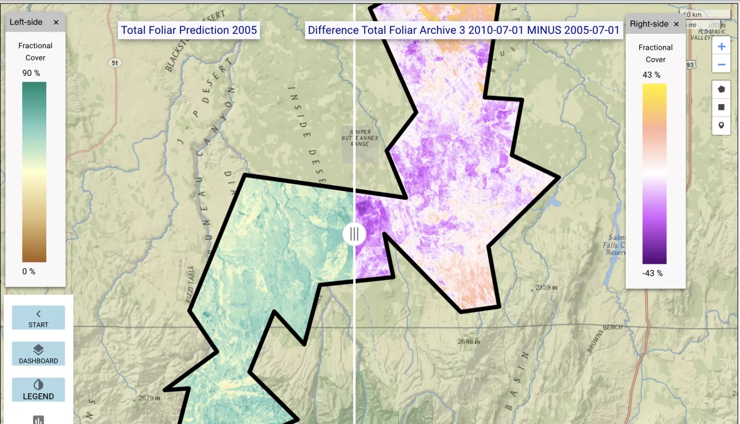
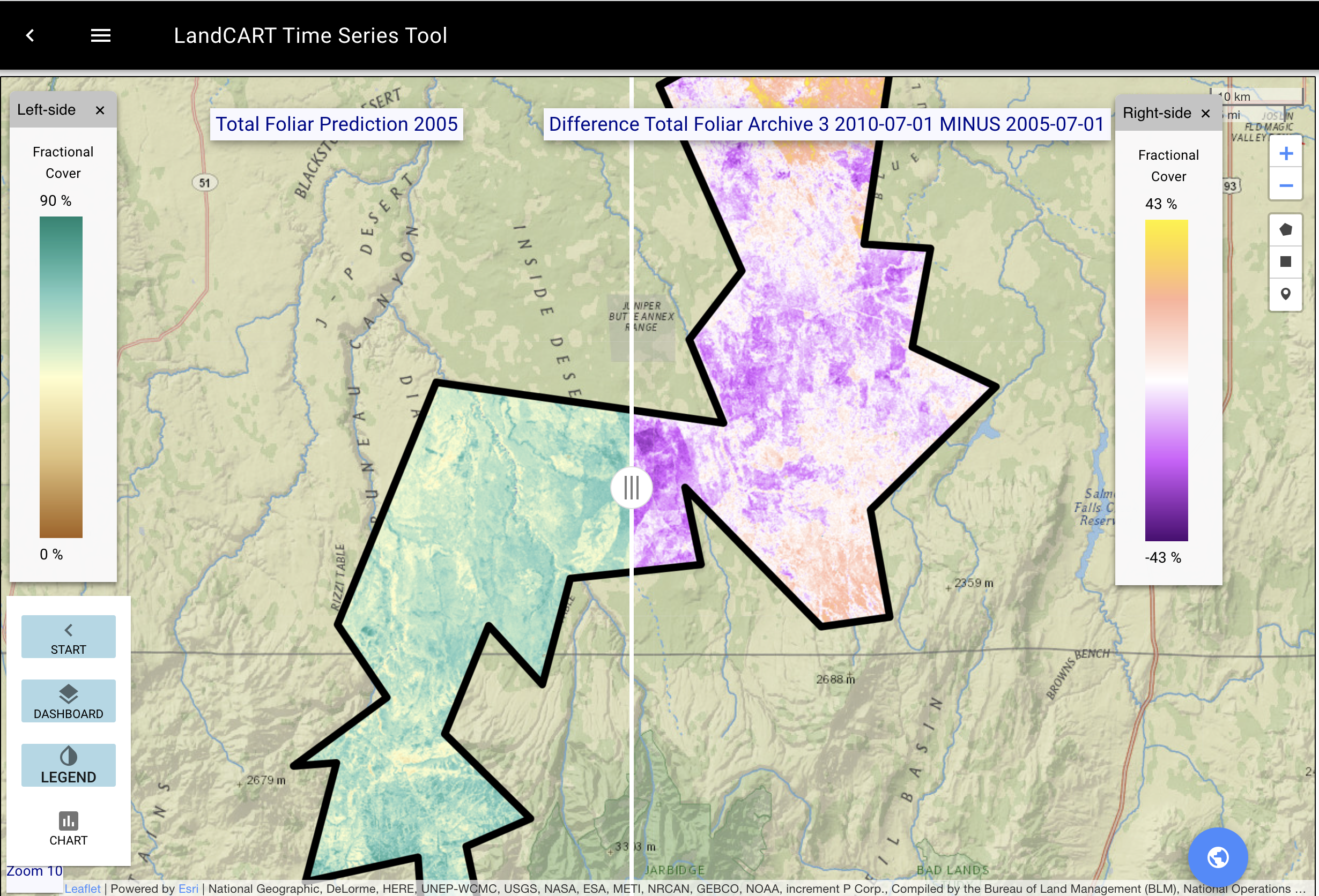
A powerful mapping tool is providing, for the first time, a way to track vegetation changes across the entire Western United States.
Called the Landscape Cover Analysis and Reporting Tools, or LandCART, the web-based mapping tool launched on February 15, 2022. This new comprehensive view of this vast area of sagebrush, grasslands, mountains and other terrain is possible due to bringing together NASA satellite and other Earth observations, as well as climate data, ground-level observations, and historical information. LandCART applies machine learning algorithms to these data sets and creates maps that track vegetation changes across the vast expanses of the American West.
The goal is to create easy-to-use maps so land managers, conservationists and others can make informed decisions, said lead scientist Gregory Okin, a UCLA geography professor. LandCART is supported by the Ecological Forecasting Program area with the University of California, Los Angeles (UCLA) and the U.S. Bureau of Land Management.
More information about LandCART is available at the UCLA story: Web tool co-created by UCLA a veritable 'Swiss Army knife' for land management.