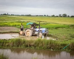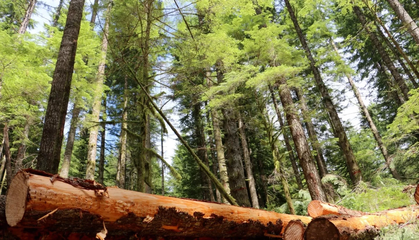
With nearly half of Oregon covered in forests, trees are an important economic resource, supporting about 11% of the total value of goods and services produced in the state. Forests also play a vital role in the carbon cycle as they absorb excess carbon compounds from the atmosphere. To help protect this balance, the U.S. Forest Service (USFS) and Oregon forest managers use a model that combines current and historical NASA data to identify changes in forest cover state-wide.
The USFS estimates that American forests store enough carbon to offset about 16% of United States fossil fuel emissions. When forests remove carbon from the air and store it in their biomass – a process called sequestering – they are considered carbon “sinks.
However, not all forests are carbon sinks. Some forests release carbon through stressors such as wildfires, insect infestations and timber harvests. This dichotomy complicates decision making by forest managers, who need to factor “carbon flux” into their strategic planning. Carbon flux measures the flow of carbon between the Earth and the atmosphere, and foresters use it as a guide to forest health.
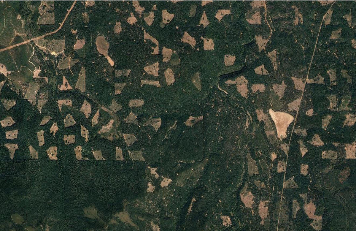
To help forest managers, Mark E. Harmon, professor of Forest Science at Oregon State University, developed a unique model that uses remote-sensing data to gain insight into the carbon flux of Oregon’s forests. “Remote-sensing data allows us to cover an area in-depth,” Harmon said. “We can look at this data and quickly determine if there are changes in the forest cover.”
Harmon’s project compared current high-resolution satellite images with past imagery from NASA’s archives to detect changes in forest cover. The images complemented data from the USFS Forest Inventory and Analysis program, which gives forest managers a state-wide view.
Impressed with the findings, the Oregon Roundtable on Sustainable Forests used Harmon’s innovative approach to carbon assessment to determine the feasibility of its forest management plans. Created by the Oregon Department of Forestry (ODF), the Roundtable promotes forest resource management by integrating environmental, economic and social considerations into the state’s land management.
“Mark’s modeling is unique and has illuminated the complexity of carbon storage and dynamics in forest ecosystems,” said Andrew Yost, forest ecologist with ODF. “We have traditional estimates of carbon flux based on inventory plots, but Mark’s data integrates the physiological functions of forest ecosystems with state-of-the-art landscape modeling, satellite remote sensing, large-scale vegetation mapping, and computer simulation.”
The NASA Earth data also provide strong visuals of changes in forest coverage, which help forest managers and the public understand what’s happening to the land around them. “It’s one thing to give a report or have a graph,” Harmon said, “but remote-sensing data animates changes over time. People can better understand the changes with these visuals.”
“[Harmon’s] work uses the technology investments of NASA and puts them into a useful format to help us better understand the annual flux of carbon through Oregon forests.”
–Andrew Yost, Oregon Department of Forestry
The Roundtable asked Harmon to expand his initial analysis of four geographic sections of Oregon to include the entire state. Looking at this new data, researchers discovered an omission: The initial analysis did not include the areas impacted by the 2002 Biscuit Fire, which burned almost 500,000 acres in southern Oregon and northern California. State officials and forest industry representatives requested the inclusion of these areas to create a more accurate, historical view of the state’s forests.
With this information now giving another important piece of guidance to the forest managers, Yost emphasized, “[Harmon’s] work uses the technology investments of NASA and puts them into a useful format to help us better understand the annual flux of carbon through Oregon forests.”
This story is part of our Space for U.S. collection. To learn how NASA data are being used in your state, please visit nasa.gov/spaceforus.