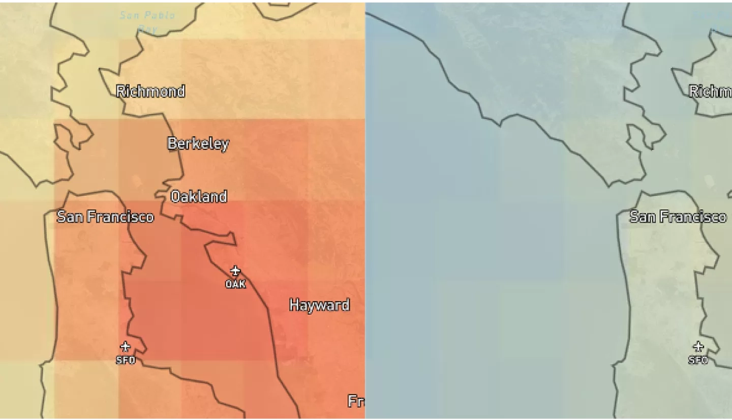
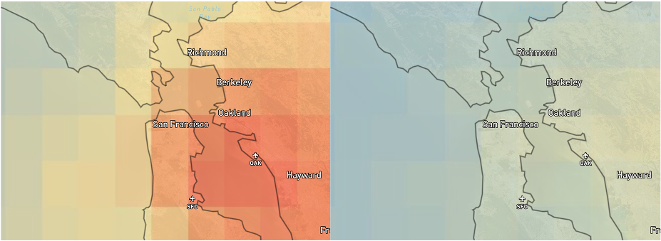
Two publicly available interactive portals now use NASA Earth observations to show how economic and social shutdowns in response to the COVID-19 pandemic have led to noticeable changes in Earth’s environment, at least for the short term.
The NASA COVID-19 Dashboard features data collected by NASA and other agency satellites, instruments aboard the International Space Station and sensitive ground-based networks. The global maps are searchable by several categories of change, including economic and environmental factors like construction activity and water quality.
NASA Harvest, NASA Earth Applied Sciences’s consortium with the University of Maryland, also released a COVID-19 Dashboard for Agriculture to help quantify the pandemic’s impact on agricultural production and food security around the world.
The Harvest dashboard allows users to search for datasets published by NASA Harvest partners as well as other datasets relevant to agricultural monitoring and food security. This satellite data is critical in enabling experts to rapidly respond to the pressing need for free and open-use analytical tools, especially in the face of changes to policy, labor availability, logistics, and food prices brought on by COVID-19.
As NASA Earth scientists continue to study and learn about COVID-19’s effects on the Earth system, these dashboards will be updated with more data and discoveries throughout the pandemic and beyond.