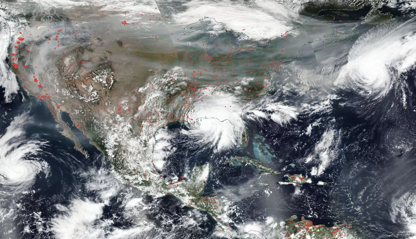
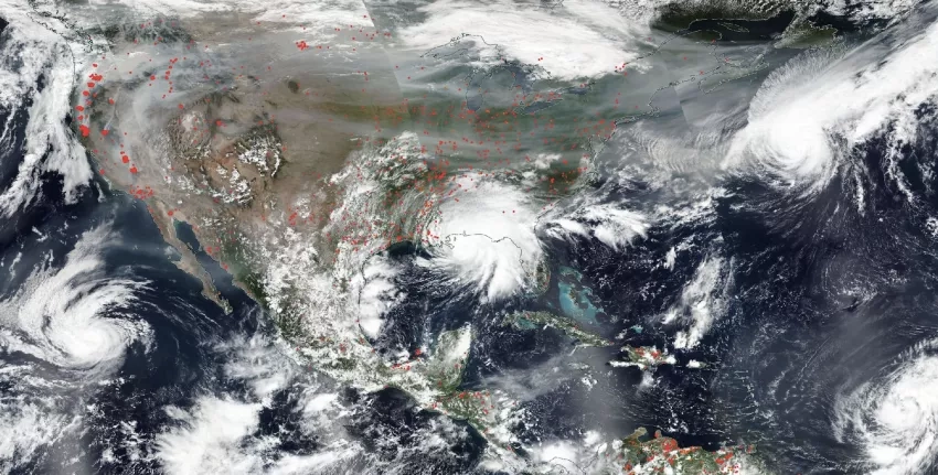
In a decade filled by record-breaking events including raging wildfires, numerous hurricanes, unseasonal flooding and historically cold temperatures, NASA has continued to learn more about how the planet is changing and the effect it has on Earth’s systems.
In the satellite era, a fleet of Earth-observing satellites have gathered data on world-wide rain and snowfall, air and ocean temperatures, air quality, land use and land cover, along with a myriad of other phenomena that enable researchers and decision makers to study the connections between changes in climate, environment and society. For vulnerable communities these changes can create new risks.
Scientists use a number of databases to measure different facets of the Earth system, from surface temperature to humidity levels. NASA’s Earth Observing System Data and Information System (EOSDIS) provides long-term data records that can help with climate research.
NASA Earth Science funds innovative applied research to help communities anticipate and prepare before disasters strike and provides data products and expertise to stakeholders that enable early action, increase situational awareness during response and aid recovery efforts.
Read the full story at www.nasa.gov: NASA Data Helps Builds Resilience as Disasters Grow More Intense


