Forest rangers in one of Cambodia’s largest remaining forests now get deforestation alerts based on NASA satellite data. Appearing in apps they already use, the information cuts through the cloud cover and captures the entire landscape.
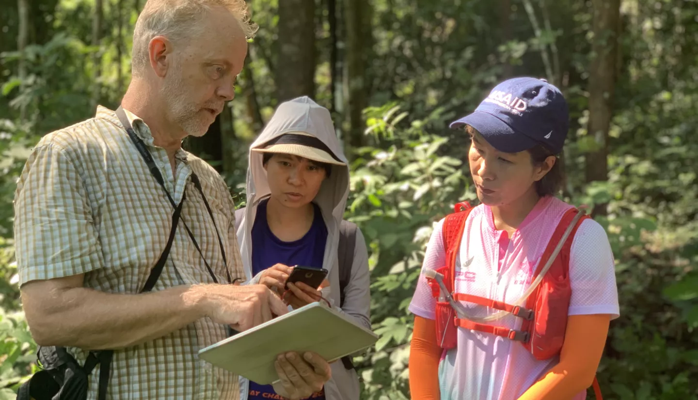
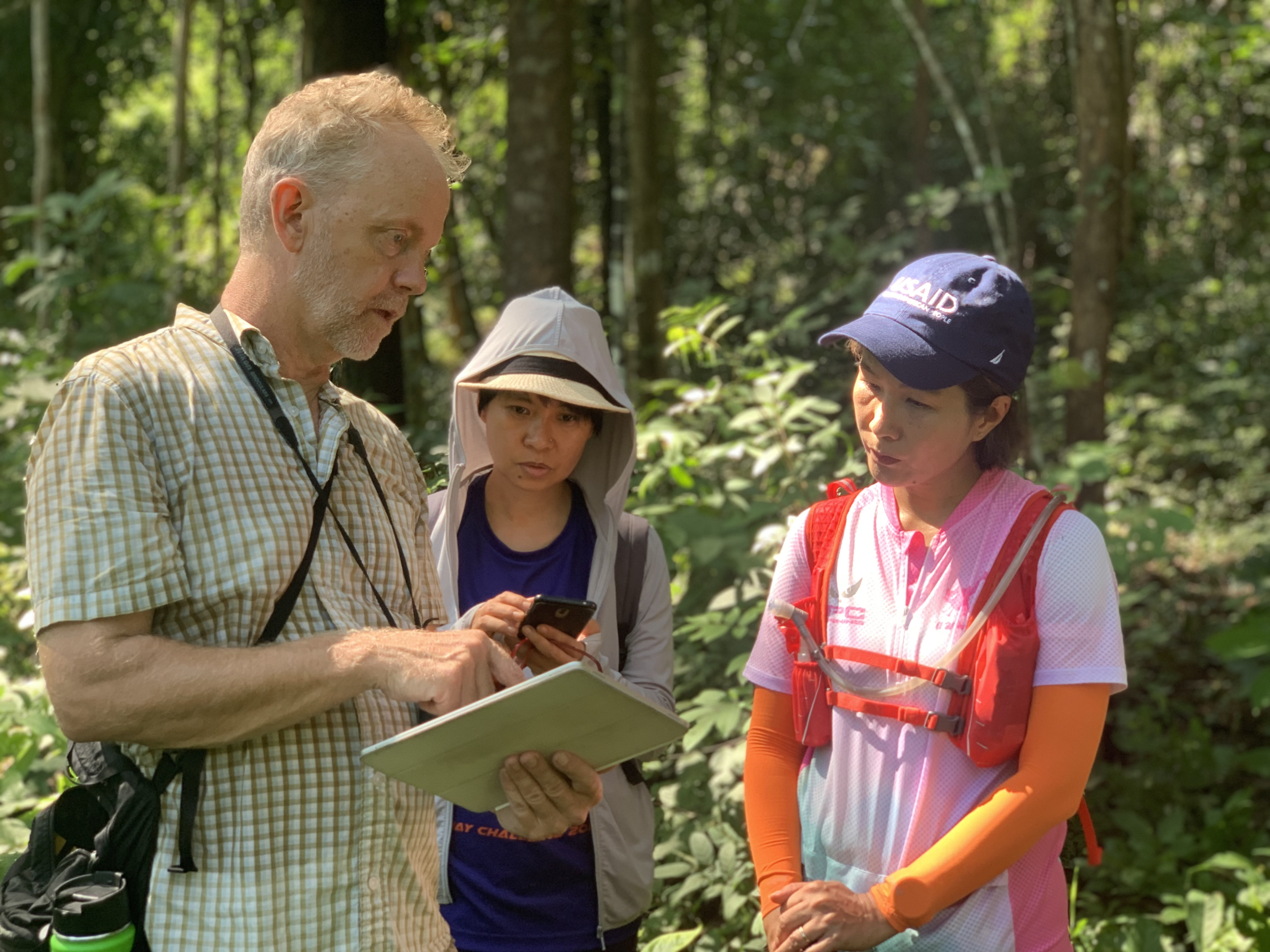
“For patrolling, I have traditionally relied on three tools: a notebook, camera, and GPS. We scan the landscape for illegal forest disturbances and take pictures and GPS readings to record its exact location,” said forest ranger Koeng Hokleang. “If caught, the perpetrators are warned, fined, or even arrested.”
Hokleang doesn’t need a pedometer to notify him of completing ten thousand steps daily. Rain or shine, he spends his days hiking across the Kulen Promtep Wildlife Sanctuary to monitor illegal forest clearances. A community patrol leader at a local ranger station, he must also boost the morale of his team as they try to contain deforestation across 8,000 square kilometers (3,088 square miles) of the Prey Lang Forest in northern Cambodia, an area about the size of Puerto Rico. It’s not an easy job – Hokleang is one of less than 100 rangers patrolling this section of the Prey Lang on foot.
Following fifty years of massive deforestation in Southeast Asia, community forest patrols and conservationists focus on protecting this area, one of the region’s largest remaining forests.
The Cambodia Protected Area Alerts System is a project of SERVIR – a joint collaboration of NASA and the U.S. Agency for International Development (USAID). SERVIR's work in Southeast Asia is done in partnership with the Asian Disaster Preparedness Center (ADPC).
“Discussions around deforestation in Cambodia tend to focus on the illegal timber trade, which, while an extremely serious problem, is not the greatest cause of forest loss,” according to Matthew Edwardsen, chief of party for USAID’s Greening Prey Lang program. “What we are seeing is widespread illegal forest clearance for agriculture and land speculation.”
In response to these challenges, SERVIR's program in the region--SERVIR Mekong--formed a team to design the Cambodia Protected Area Alerts System. Cambodia has grappled with deforestation for many years. According to a 2018 estimate by the Ministry of Environment, the country’s forest cover has dropped from 73.4% to 46.9% since 1965. In addition, a 2020 report by the World Wildlife Fund found that Cambodia represents an active deforestation front whose deforestation rates were among the highest in the world from 2008 to 2018. Deforestation and forest degradation release vast amounts of greenhouse gasses into the atmosphere, lead to biodiversity loss, reduce water quantity and quality, and threaten the livelihoods of local indigenous communities.
“With so much landscape to patrol, rangers on the ground need all the help they can get. Satellites capture the whole landscape regularly, and the goal of the alert system is to quickly translate what the satellites see into actionable information – and get that in the hands of the rangers,” said Dr. Robert Kennedy, a professor at Oregon State University and member of SERVIR's Applied Sciences Team. Kennedy worked with a PhD student and the SERVIR Mekong team to build this new type of alert system.
Cutting Through the Clouds
The system works by automatically analyzing data received from satellites like Landsat to identify areas that appear less forested from one date to the next. Because the tropical climate often covers the Prey Lang Forest in clouds, the system also analyzes data from synthetic aperture radar satellites. Radar from the European Space Agency’s Sentinel-1 satellites is unaffected by clouds and can detect forest even when bad weather prevents the use of optical satellites. The system feeds this information to a mobile app that local forest rangers already use to track their patrols, designed to conveniently supplement the tools the rangers already use.
“We are excited to get this alert information into the hands of the rangers we met. They are already experts at integrating map information into their patrol plans, and the new system will give them more tools to more quickly assess and stop illegal actions in these fragile forest ecosystems,” said Kennedy.
The SERVIR Mekong program – which was rebranded “SERVIR Southeast Asia” in January of this year – was one of SERVIR’s five “hubs” and is based at the Asian Disaster Preparedness Center in Bangkok, Thailand. The Mekong team worked together with USAID’s Greening Prey Lang program to design and implement the alert system.
Saving the Forests, Combating Climate Change
The Cambodia Protected Area Alerts System’s design also has potential well beyond the Prey Lang – for mitigating climate change. A stronger system for inventorying forests may help Cambodia better monitor its international climate change contributions. Most member states of the U.N. have commitments to report changes in their carbon emissions, so having the technology to precisely monitor deforestation can help countries like Cambodia ensure that these commitments are met cheaply and efficiently.
Together, SERVIR, NASA, and ADPC will use the lessons learned in Prey Lang to support similar efforts elsewhere. The availability of optical and radar satellite data and corresponding training programs is helping to remove barriers to sustainable forest management around the world. The team hopes that steps like this make a difference to communities of all sizes, whether that’s reducing carbon emissions globally, or even just making life a little easier for forest rangers like Hokleang.


