NASA scientists are using a new method of combining data from water samples containing fish DNA with satellite data, to help decision makers protect fish species in Alaska in the face of human development and a changing climate.
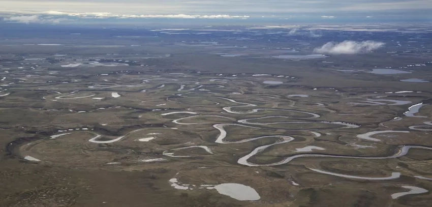
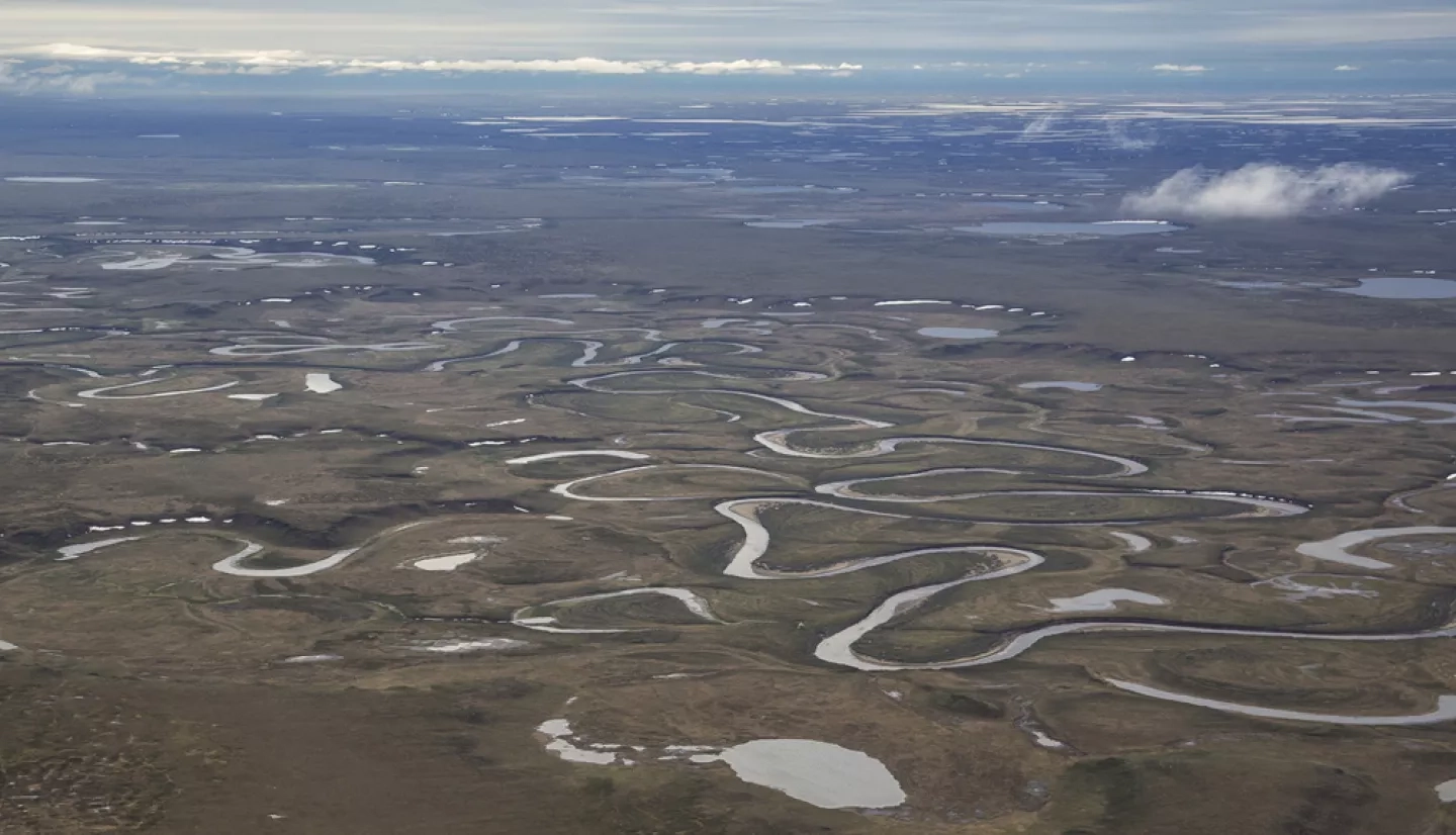
The National Petroleum Reserve in Alaska is rich in oil and gas resources – and rich in native fish populations.
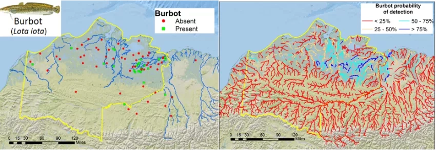
A NASA Earth Applied Science project through the Ecological Forecasting program area just finished customizing maps of the predicted locations of multiple fish species for the Bureau of Land Management to use in its decision-making process. This federal agency is in charge of managing lands for multiple uses in the National Petroleum Reserve in Alaska – including oil and gas supplies.
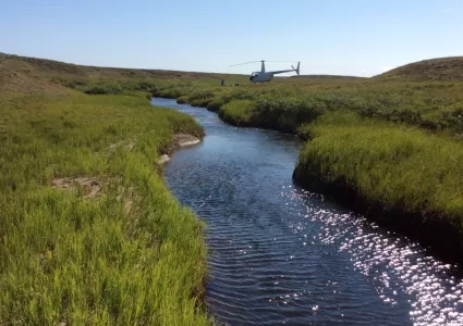
Environmental DNA, or eDNA, is collected as organisms “leak” DNA into the water through fragments of skin or waste products. Researchers can then analyze the results to better understand the waterway’s fish populations and the entire ecosystem.
The NASA team combined that information with NASA satellite data like vegetation “greenness” and water temperatures, to create maps that estimate the probability of each species of fish appearing in a given portion of a stream.
The Bureau of Land Management plans to use the eDNA work as one more tool to inform future management decisions in the National Petroleum Reserve in Alaska and may expand its use to other parts of Alaska.
For more information about NASA’s data-to-DNA connection, read the NASA.gov feature, Satellite Data Meets Cellular DNA for Species of Interest.
This story is part of our Space for U.S. collection. To learn how NASA data are being used in your state, please visit nasa.gov/spaceforus.