As Americans head to the shores and lakefronts this summer, NASA Earth Applied Sciences-funded researchers announce a new framework for quantifying the socioeconomic benefits of using Earth-observing satellite data to track potentially harmful algal blooms and manage recreational advisories at freshwater lakes.
The VALUABLES Consortium, a collaboration of NASA the nonprofit research group and Resources for the Future published their results in the journal GeoHealth on Tuesday, June 18, 2020. It reveals that NASA Earth satellite data can help environmental managers detect harmful algal blooms earlier than other methods, resulting in hundreds of thousands of dollars of savings in potential healthcare costs.
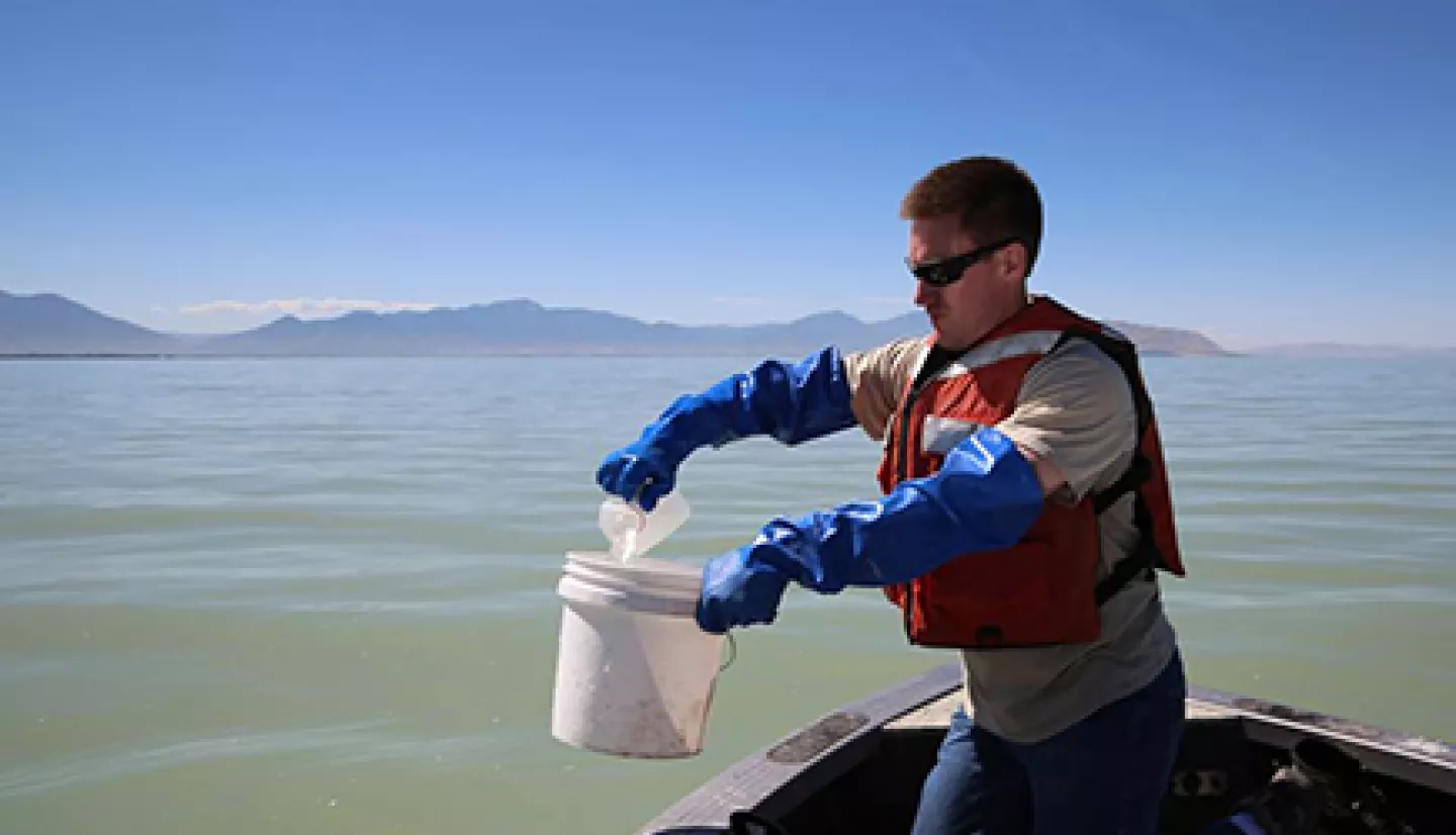
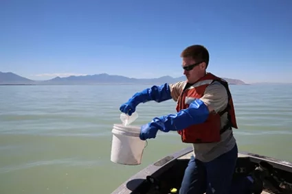
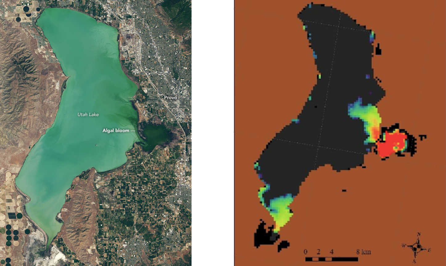
Algae can be harmful to human health when toxin-producing algae 'bloom' and rapidly increase in number. Algal blooms often change the color of bodies of water, making a bloom detectable by Earth-observing satellites. The researchers focused on Utah Lake near the city of Provo, Utah for this impact assessment.
They compared two possible scenarios in reviewing data from a June 2017 harmful algal bloom and concluded that Earth-observing satellite data of the lake showed color changes, and thus the presence of algae. This prompted the Utah Department of Environmental Quality to test the lake for toxicity earlier than observations on the ground along would have allowed. The testing led to Utah public health and environmental officials to post warnings to boaters, swimmers and fishers on June 29. A second scenario, one developed without satellite data showed that there would likely be a 7-day delay in public health warnings, resulting in increased healthcare costs, lost work hours and other economic impacts. Their conclusion was that the satellite early warning saved the community about $370,000.
The Consortium for the Valuation of Applications Benefits Linked to Earth Science (VALUABLES) is a collaboration between NASA and RFF. It focuses on advancing innovative uses of existing techniques and developing new techniques for valuing the information provided by Earth-observing satellites.
More information about this work can be found at the NASA.gov story Early Detection of Algae ‘Blooms’ by Satellite Yields Healthcare Savings.
This story is part of our Space for U.S. collection. To learn how NASA data are being used in your state, please visit nasa.gov/spaceforus.


