Rainfall in South America is becoming harder to predict because of changes in the area’s weather patterns due to climate change. Now, two scientists with NASA’s SERVIR program are working with weather agencies in the region to help build better forecasting resources and greater climate resilience.
SERVIR’s Dr. Jim Nelson and Jorge Luis Sánchez, both of Brigham Young University (BYU), are helping government agencies in South America develop web tools for meteorology and hydrology forecasts. SERVIR is a joint program of NASA and the U.S. Agency for International Development (USAID). It works with geospatial organizations around the world helping communities in Asia, Africa, and the Americas address environmental challenges with the use of NASA Earth observing satellites. These resources, which are made possible by NASA missions and satellite data, are designed to help authorities make more reliable decisions about water resources and disaster management.
“Many countries lack the capacity and resources to provide adequate hydrometeorological information necessary to make sound decisions regarding water resources and the impacts of climate change,” Nelson said. “That is why the Earth observation data provided by NASA and the global models they drive are so valuable to the countries of the Amazon.”
Nelson is a hydrologist at BYU’s Fulton College of Engineering and a member of SERVIR’s Applied Sciences Team. Nelson’s work with SERVIR has included steering the development of a web portal for monitoring streamflow conditions all over the world. The tools Nelson and the BYU team are developing provide a centralized resource that automatically customizes satellite data on weather and river conditions, helping authorities get exactly the information they need to act.

When these services are fully developed, users like the national weather agencies of Ecuador and Peru will be able to use these portals to improve upon weather and flooding forecasts. With more detailed flood forecasting, governments will be able to explore new options for delivering disaster risk reduction funds, helping communities reduce the costs of flooding.
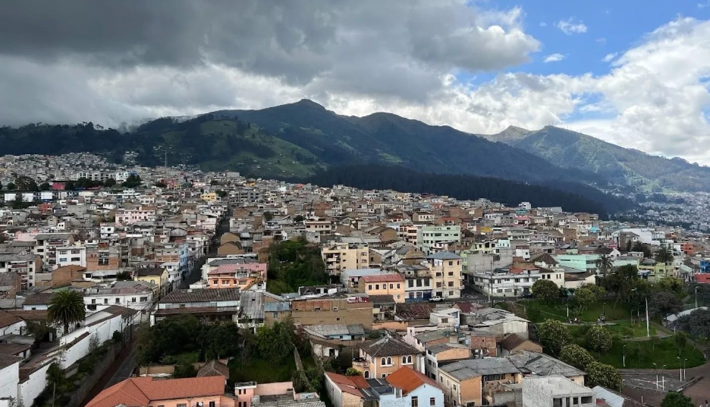
In early April 2022, Nelson and Sánchez met with government agencies in Ecuador and Peru to collect feedback on ways to better fit the web tools to local needs. A key issue in this discussion is the matter of how best to transfer the ownership of the service to government agencies when the time comes.

“The services need to be adjusted to the needs of the institution,” said Sánchez during a visit to SENAMHI, Peru’s national meteorological service. “With this co-development, SENAMHI will continue to gain knowledge so that they can–in our absence–continue to develop these services and maintain these applications.”
Sánchez is a PhD candidate who has worked with Nelson throughout the project and also is a member of the International Center for Tropical Agriculture, an international research and development organization dedicated to reducing poverty and hunger while protecting natural resources. Sánchez plans to continue to support users of these tools after Nelson’s project with SERVIR’s Applied Sciences Team ends in 2023. The team is planning ahead to ensure not only that the service is designed to eventually be owned by the users, but also that those users have everything they need to continue using the tools effectively in the long-term. That way, the benefits to meteorological agencies can continue into the future sustainably and independently.
Nelson and Sánchez are already planning similar visits to users in Colombia and Brazil later this year. Helping communities build climate resilience means not just reinforcing their ability to effectively make weather and streamflow forecasts, but also making sure that authorities like hydrometeorological departments can become more and more self-reliant.
Countries like Peru and Ecuador are preparing for a future in which their citizens will be more exposed to flooding, landslides, and droughts. The team says meeting that goal will be challenging, but they hopes that tools that are tailor-made for those countries to independently adopt in the long term will make the process just a little easier.
SERVIR’s Amazonia regional hub is hosted by the International Center for Tropical Agriculture and implemented in Peru and Ecuador by consortium partners ACCA and EcoCiencia, respectively. To learn more, read EcoCiencia’s coverage of Nelson and Sanchez’s visit here [article in Spanish].


