For the first time, SERVIR-Amazonia is training scientists to monitor forests without face-to-face meetings
SERVIR’s Amazonia hub is now teaching scientists to monitor forest degradation from their homes. The team is using new virtual training tools that had never been considered before the COVID-19 pandemic challenged them to innovate.
In a nice bit of synchronicity, when SERVIR— part of the Capacity Building program area—had to pivot to online training analyzing satellite imagery of the Amazon rainforest, they were able to bring in the private company, Amazon Web Services.
“Usually we do these training sessions in person, and that was the original plan. But due to COVID-19, we have to carry out the training online,” said Africa Flores-Anderson, SERVIR-Amazonia’s Science Coordination Lead.
Several of these in-person training sessions had been planned in South America before COVID-19 forced global shutdowns and travel restrictions. But in June, dozens of people across the western hemisphere were still able to participate in a multi-day training, learning to carry out sophisticated satellite imagery analysis.
SERVIR is a joint effort from NASA and the U.S. Agency for International Development (USAID) that deploys geospatial tools to assist with development work and environmental conservation around the globe. The SERVIR-Amazonia hub brings together stakeholders in Brazil, Peru, Colombia, Guyana, Ecuador and Suriname to connect space to village.
Virtual Machines from Amazon Web Services Eliminate Need for High-Powered Computers
During traditional in-person training sessions, SERVIR trainers have to find dozens of laptops that are powerful enough to run resource-intensive imagery software. That can be a challenge in some of the locations where training sessions are held.
“It requires a lot of computational resources to process because each satellite image can be very large,” Flores-Anderson explained.
For the new virtual training, SERVIR leaders approached the company Amazon Web Services and their Amazon Sustainability Data Initiative, which donated cloud computing services. The trainees were then able to use a basic computer with an internet connection to tap into this centralized computer resource, also known as the ‘cloud.’ The result was a virtual, powerful system pre-loaded with the required software and data the trainees needed.
While the new training style was developed due to COVID-19, Flores-Anderson said the innovation will change the way they train after the virus is no longer a global threat. The virtual alternative is flexible, cost-efficient, and Flores-Anderson believes it could allow SERVIR-Amazonia to expand their training capacity in the future. Without the limits of a physical classroom, far more people could participate.
“This is a feasible solution,” she said. “This experience has shown us that we can carry out this training remotely.”
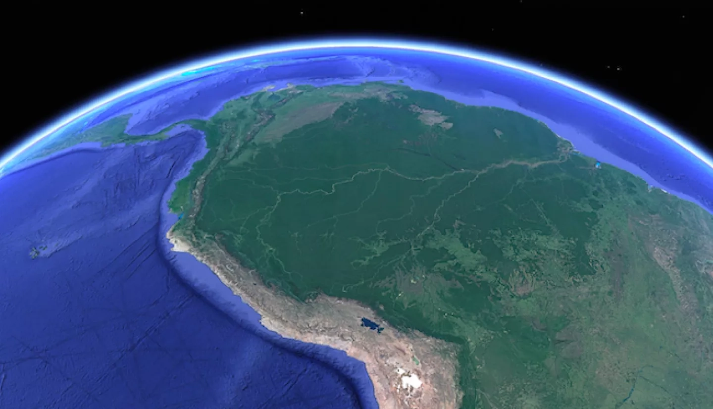
Remotely Monitoring Guyana Mangroves and Amazon Deforestation
The Amazon Web Services virtual machines have been used in two different training sessions so far, both teaching how to use Synthetic Aperture Radar (SAR), data-intensive technology capable of piercing through clouds that can obscure traditional satellite imagery.
The first training session focused on remote monitoring of mangroves in Guyana, a vital natural barrier for the country’s coastline. The second session taught trainees how to use SAR to monitor degradation in the Amazon.
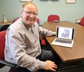
Josef Kellndorfer of the company Big Earth Data led the degradation training session via video conference, answering questions in real time and demonstrating SAR image analysis on the virtual machine. He also broke up the long hours with jokes, just like he would in a physical class.
“I think the setup with everybody having the same [virtual] machine works quite well,” said Kellndorfer. “And it’s probably easier on the participants to roll their eyes and say, ‘Oh well, that joke didn’t work!’”
Participants joined the training session from several countries in South America. Felipe Cerignoni logged in from Brazil, where he works with the non-profit group IMAFLORA, a local partner of SERVIR.
“I hope we can better understand this kind of degradation and deforestation to help to protect the areas,” Cerignoni said.
Future trainings and workshops can implement the lessons learned in pivoting to virtual environments.
“Holding these training sessions remotely has opened the possibility for SERVIR to think beyond, and design our services to include remote components that could broaden access and reach to stakeholders.” said Flores-Anderson.


