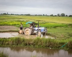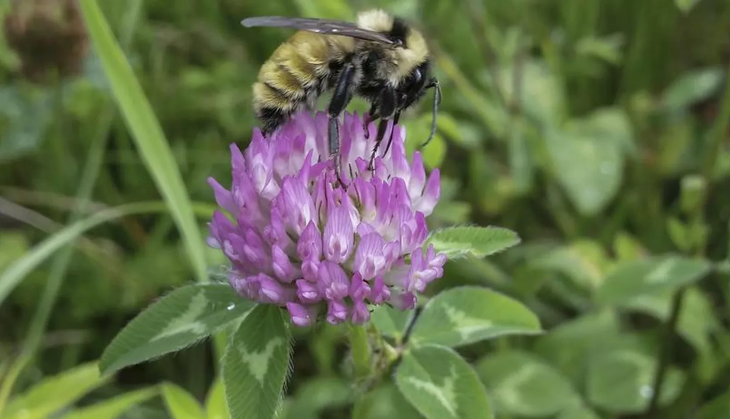
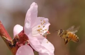
As in many U.S. states, Massachusetts’s agriculture industry – which produces some $500 million in products annually – relies on a small but mighty partner: the Western Honeybee. A typical hive can contain anywhere from 20,000-50,000 honeybees that pollinate countless crops. But recently, Western Honeybee populations have plummeted.
NASA satellite observations and citizen science helped build a database called HIVE-OS to help local businesses understand variables like soil moisture and plants that affect honeybee health.
“Honeybees contribute $15 billion annually to the United States economy,” said Ryan Young, a postgraduate student who focuses on agricultural conservation for the World Wildlife Fund. “More than 90% of crops are visited and pollinated from the species. Think about it this way: A third of the food on your plate could be lost without honeybees.”
“Since about 2007, there’s been a lot of concern regarding the state of honeybees,” said Kelly Kulhanek, a researcher for the Dennis vanEngelsdorp Honeybee Epidemiology Lab at the University of Maryland. “Commercial beekeepers all over the country started reporting really intense levels of losses where the worker population in their colonies was just completely vanishing.”
For Boston-based The Best Bees Company – which delivers, installs and maintains beehives throughout the U.S. – tools based on satellite data help determine the best locations, elevations and orientation for beehives.
The Best Bees Company uses a tool called HIVE-OS that incorporates citizen science and NASA Earth observations to help users make decisions based on the environmental variables that lead to honeybee prosperity.
Young and a team from the NASA DEVELOP program used Google Earth Engine to build HIVE-OS. DEVELOP is a NASA Earth Applied Sciences program that addresses environmental and other Earth science issues through strategic partnerships. The team incorporated data from NASA Earth-observing satellites that map terrain and measure soil moisture, and U.S. Department of Agriculture (USDA) reports on land cover.

“HIVE-OS gives users a convenient way to investigate possible correlations of in-hive data with NASA Earth observations,” said DEVELOP team member Eyob Solomon. “Incorporating Earth observations helps honeybee researchers understand the role local environmental conditions – such as precipitation, soil moisture and vegetative abundance – play in the complex knot of factors linked to bee health.”
Another key feature of the HIVE-OS tool is feedback from concerned citizens. Bee enthusiasts and hive owners share local hive conditions – such as location, weight, temperature, and humidity – gathered via in-hive sensors.
“We could also inform public policy decisions regarding the optimal types of habitat and vegetation to be planted – and where to locate it,” said Stephanie Davis, a data analyst for the Boston-based Urban Beekeeping Laboratory and Bee Sanctuary, the nonprofit affiliate of The Best Bees Company. “HIVE-OS will also be critical for developing predictive models of wide-scale events affecting bees, their ecosystem and the broader environment.”
The DEVELOP team will keep working on HIVE-OS, adding information about pollen DNA in beehive honey analyzed by The Best Bees Company’s HoneyDNA project.
“Incorporating Earth observations helps honeybee researchers understand the role local environmental conditions – such as precipitation, soil moisture, and vegetative abundance – play in the complex knot of factors linked to bee health.”
– Eyob Solomon, NASA DEVELOP
“The idea behind it is to assess the diversity, composition and overall characteristics of the pollen contained in samples of honey sent to the Urban Beekeeping Laboratory,” Davis said. “It also allows us to infer foraging ranges relative to a given beehive’s location, as well as a habitat’s desirability – or lack thereof.”
HIVE-OS’s marriage of environmental data, Earth-observing imagery and citizen science is helping discern the variables that affect honeybee health – a critical need for better understanding and reducing the honeybee’s decline. That insight will also help the future of agriculture in New England – and the rest of the U.S..
“Our overriding priority is to ascertain where bees are doing well,” Davis emphasized. “As we like to say, ‘Food security is national security!’”
This story is part of our Space for U.S. collection. To learn how NASA data are being used in your state, please visit nasa.gov/spaceforus.