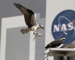
Mississippi’s oyster harvest – much like its whole seafood industry – has been affected by natural and human-caused threats over the last decade. But now NASA satellite data is being used to help stem that tide.
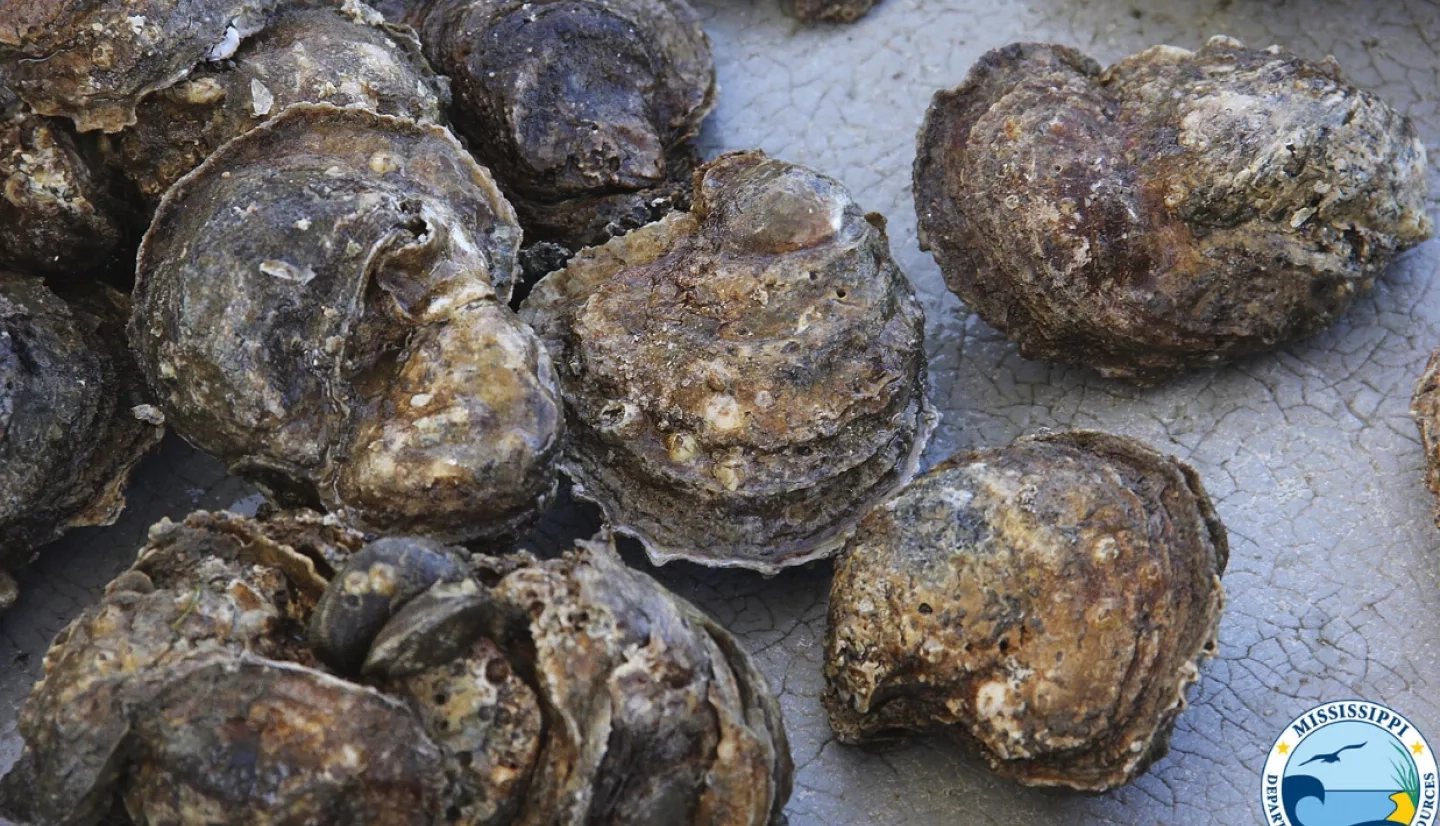
First, a little background on Mississippi’s oysters. These small, briny bivalves are a surprisingly big piece of the state’s history and lifeblood.
“They are part of the cultural heritage along the Mississippi Gulf Coast,” said Charlie Robertson, a marine fisheries scientist at the Mississippi Department of Marine Resources. “[Oysters] have served a major role in supporting the growth of coastal communities in Mississippi.”
From an ecological and economic perspective, oysters are a keystone species for the Gulf of Mexico. “Oysters provide habitat and foraging ground for numerous marine species … and they assist in stabilizing sediments and shorelines to prevent coastal erosion,” Robertson added. “It would be very challenging to put a dollar amount on the value oysters bring to the economy of Mississippi.”
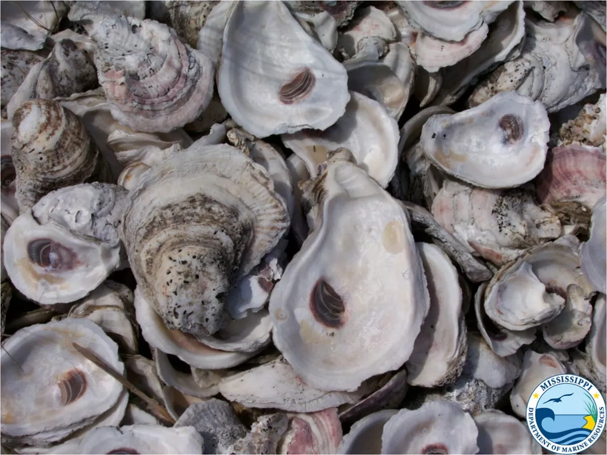
Mississippi oyster hauls have dramatically declined over the last decade, due to a variety of natural and human-caused stressors. One of the first came from Hurricane Katrina in 2005.
“Hurricane Katrina made direct landfall near Pearlington, Mississippi, causing the strongest part of the storm to cross most of the harvestable oyster reefs in Mississippi,” Robertson explained. “As a result, the oyster reefs experienced significant mortalities and sedimentation over a vast majority of the reefs.”
Sedimentation – when oyster reefs become covered by stirred-up sand, dirt and organic matter – reduces the available food and oxygen in the water and can eventually suffocate the shellfish.
After Hurricane Katrina, other factors like oil spills, the diverting of freshwater from flooding, and back-to-back droughts took their toll on the oyster harvest. If you add the periodic threat of natural diseases, the stressors appear to be coming from all sides. Robertson remained optimistic, but cautioned, “Although the oyster resources in Mississippi have remained resilient and have shown an ability to withstand these events year after year, it would be difficult for any resource to flourish under these conditions.”
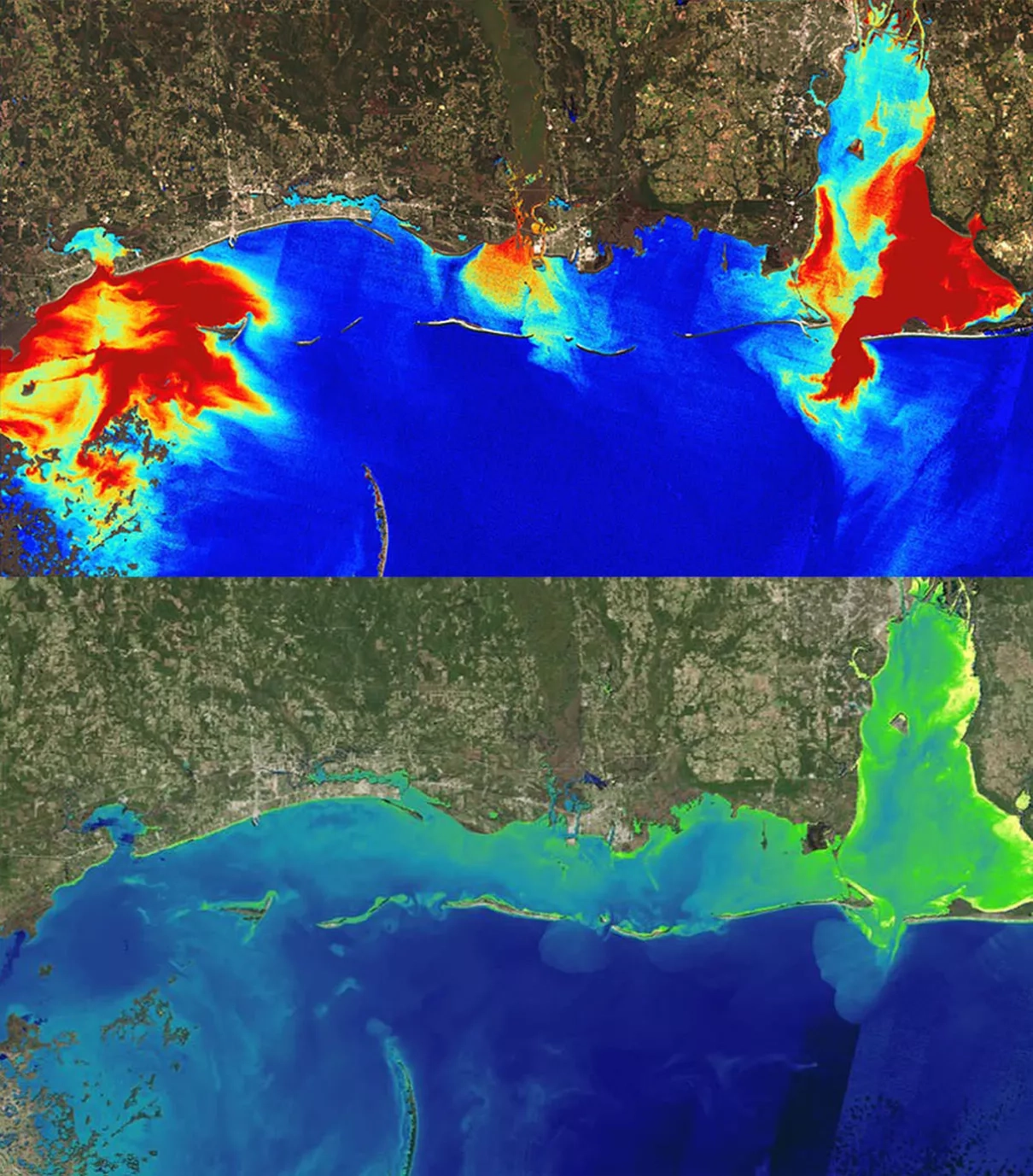
Working with Robertson and other state officials to take a new view of Mississippi's oyster resources was NASA Earth Applied Sciences Capacity Program, DEVELOP. The program spearheads research partnerships seeking solutions to environmental and other Earth science issues. DEVELOP team co-lead, Emily Gotschalk, said that with a fleet of satellites and sensors, “We hoped to provide a synoptic case study of how Earth-observing data can add to their current monitoring efforts.”
DEVELOP teams tapped into multiple spaceborne systems to gather data and imagery of the environmental factors that affect the water quality along Mississippi’s Gulf Coast – including salinity, total suspended matter, sea-surface temperature, and chlorophyll concentration.
“We saw [this project with NASA] as an opportunity to collaborate with a renowned program that allowed us to have access to experts with knowledge and technology that we do not have at our agency,” Robertson said.
“We saw [this project with NASA] as an opportunity to collaborate with a renowned program that allowed us to have access to experts with knowledge and technology that we do not have at our agency.”
–Charlie Robertson, Mississippi Department of Marine Resources
The team also compared imagery from before and after Hurricane Katrina, as well as before and after floodwater diversions. “We were able to explore and test many of the questions and theories of what [state officials] thought was happening in the Mississippi Sound … and were able to provide answers and feedback,” Gotschalk said. DEVELOP then created trend maps to illustrate the changes throughout the past decade in the Mississippi Sound.
One of the more surprising findings from analyzing the Earth observations was the apparent decrease in salinities on the Mississippi Sound over the last decade, which was contrary to what state officials expected. While this may not be a true representation of the more large-scale ecosystem changes that have been occurring over time, Robertson said, “We absolutely have to consider what the data is telling us … Our agency and resource managers are actively monitoring and testing for variables that can be affected by changes in salinities, such as disease prevalence, oyster recruitment and predation.”
Robertson stressed that Mississippi's collaboration with DEVELOP gave the agency both the information it needed, and most importantly, a path forward. “There are also numerous projects that have begun, or are about to begin, whose data we can use in conjunction with the DEVELOP data to inform major decision processes for future restoration and other management decisions.”
This story is part of our Space for U.S. collection. To learn how NASA data are being used in your state, please visit nasa.gov/spaceforus.