SERVIR Applied Sciences Team creates new technique to overcome limitations of satellite imagery
In a flood, information is lifesaving. When the water rises, there are two essential questions: where will the water go and when will it get there?
In August 2017, Hyongki Lee was asking those questions as he watched flood waters surround his home in Houston, Texas.
“Hurricane Harvey basically destroyed our neighborhood,” said Lee, an associate professor at the University of Houston. “We made a decision that we cannot stay home anymore. We have to evacuate.”
Lee has spent years studying flood forecasting and exploring the potential of satellite data, but this was the first time he had ever personally experienced a flood. He waded through chest-high water to help his wife and two young sons leave their house by boat. And he was reminded of just how hard it is to predict where flood waters will go. One way these predictions are created is through a “flood inundation model.”
“I realized during Harvey, Houston doesn’t have a flood inundation model. It has a real-time water-level monitoring system, but it doesn’t have a method of forecasting flood inundation extent.”
While predicting water-levels in streams or lakes is routine, predicting where that water will go once it leaves its banks is far more complex.
New research from Lee and his colleagues could make those predictions far easier by identifying what areas may be flooded before the waters rise. To do so they have created a framework to assist local water management authorities using satellite imagery.

“Our intention was to give information about where it is going to be flooded using remote sensing techniques,” he explained. Published in the journal Remote Sensing of Environment, the work was funded by the Capacity Building program area’s SERVIR project, a joint effort from NASA and the United States Agency for International Development (USAID). It deploys geospatial tools to assist with development work and environmental conservation around the globe. Lee is also a member of the SERVIR Applied Sciences team and collaborated and co-authored the paper with scientists at the SERVIR-Mekong hub, including Farrukh Chishtie, Senaka Basnayake and Susantha Jayasinghe.
Addressing the Limits of Satellites
To understand the significance of the new research, it helps to understand the limitations of satellite imagery.
Optical satellites are hindered in many flood scenarios because cloud cover physically blocks their ability to see where water is spreading. In recent years, the European Space Agency’s Sentinel-1 satellites helped solve that problem because they are equipped with cloud-penetrating technology called SAR, or Synthetic Aperture Radar.
But those SAR-equipped satellites pass over a location only once every 12 days, limiting their usefulness in a flood situation that is changing rapidly day-to-day.
Lee and his PhD student Chi-Hung Chang developed a groundbreaking new way to generate SAR-like images to fill in these gaps in time. The technique converts readily available measurements like water-level into a detailed satellite picture of floodwaters.
“And if forecasted water-levels or forecasted discharge are available, then we can also use that to generate daily forecasted inundation extents,” Lee said.
Testing the Concept
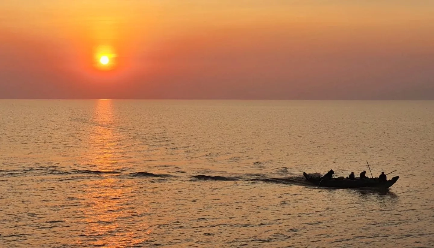
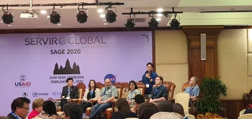
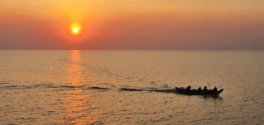
Lee’s team conducted a feasibility study focused on the Tonlé Sap Lake, the largest freshwater lake in Southeast Asia. Lee and his colleagues visited the lake during a SERVIR Annual Global Exchange (SAGE) meeting in Cambodia in early 2020, learning firsthand about the vital role it plays for some 1.7 million people.
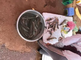
“It is the largest source of fisheries in the region, and people mostly rely on those fish for their protein,” said Lee.
Tonlé Sap Lake is part of the larger Lower Mekong basin, the focus area for the SERVIR-Mekong regional hub.
The lake floods annually during the wet season when it can swell to several times its size. The floods create a rich and productive habitat, but the amount of flooding can vary dramatically depending on conditions, threatening lives and food security.
“That’s the reason we selected the Tonlé Sap Lake floodplain as the first case study,” Lee said.
To test their idea, the researchers gathered SAR images of Tonlé Sap Lake taken from 2016 through 2018. They also gathered historic data back to 2003, including lake water-level measurements and composite satellite images showing flood inundation.
They first used a method called Rotated Empirical Orthogonal Function (REOF) analysis, which uncovered patterns in the SAR images over space and time. They then correlated those patterns to the water-level data. The resulting framework, named FIER (Forecasting Inundation Extents using REOF analysis), is essentially an algorithm that allows for future predictions.
“The REOF analysis itself seems mathematically complicated, but the idea is pretty simple,” Lee said. “Once we have the regression model, then we can simulate a SAR-like image using the forecasted water-level.”
The researchers used Tonlé Sap Lake water-level predictions to create SAR-like images and then compared them to actual recorded flood inundation, “hindcasting” or back-testing their framework to refine it.
They then used the method to forecast flood inundation from January to July 2019, generating daily SAR-like images. When they later compared them to observed inundation derived from MODIS images, they found they achieved an 80 to 90% match.
“We are creating a SAR-like image of the future time,” said Lee.
Turning Research into Applications
This research has far-reaching implications. Earlier work required high-powered computing resources and extensive field data to create a single flood inundation prediction using hydrological research. By comparison, this new method does the heavy computing work in advance and allows it to be re-used again and again with readily available remote sensing data.
As a result, Lee says the technique can make it far less expensive and much easier to predict where flood waters will travel during a flooding emergency.
“When we need to generate real-time forecasts of inundation extents, we plug forecasted water-levels or streamflow into the regression model,” Lee explained, “which is computationally very light.”
This new forecasting technique is only limited by the quality of forecasting data that is plugged into the framework. If forecasted water-levels or streamflow are available ten to fifteen days ahead of time, then the SAR-like images can be generated with that lead-time too.
Impact for SERVIR hubs around the Globe
In theory, the technique could be used in any area that floods. Lee and his team are now working to expand their model to larger areas around the Tonlé Sap Lake, including the entire Lower Mekong Basin. They hope this pure research will eventually help shape real-world policy and warning systems.
“That’s why we need to collaborate with SERVIR-Mekong and local stakeholder agencies,” Lee said. “We want to introduce this technique to the Mekong River Commission and also provide some training workshops and let them learn to run this technique independently.”
“The ultimate goal is to build the capacity of the local stakeholders so they can use the satellite-based technique for their own decision making,” he continued.
The predictive technique could also be used by other SERVIR hubs around the world.

investigator Credits: NASA
Jim Nelson, another member of the SERVIR team, said researchers are already looking at potential applications in the SERVIR-Amazonia and SERVIR-Hindu Kush Himalaya hubs. Nelson compared the technique to machine learning that helps skip steps to arrive at a solution.
“Now we can forecast what the satellite is going to see,” Nelson said. “By being able to predict with a map, it’s going to help people understand and take a warning seriously.”
Nelson said it could also be used domestically within the United States, where water flow forecasting is available, but flood extent forecasting is limited. Franz Meyer, also with the SERVIR team, believes the technique could fill that important gap in existing satellite data.
“[Lee’s] results that he’s shown are really good and really encouraging, so I do think it’s a big deal,” Meyer said. “Flood mapping needs data frequently and rapidly, and even though we do have a number of satellites available right now, getting that temporal frequency is something we can’t do quite yet.”
After surviving flooding from Hurricane Harvey in 2017, Lee even sees potential for the research close to home in Houston. He is working with authorities there to explore whether they could use this forecasting technique too.
“We are starting with Houston as a test case for finer-scale urban inundation forecasting,” Lee said. “But anywhere, any location which has suffered from flooding may benefit from this technique.”


