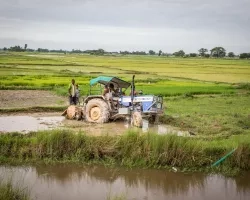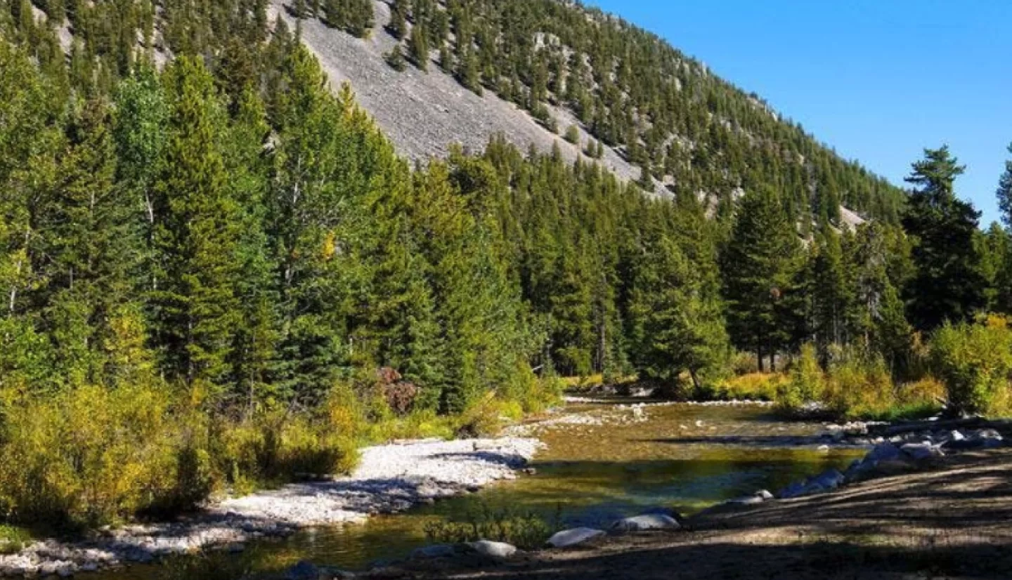
Montana’s unspoiled nature includes dense forests covering about one-fourth of America’s fourth-largest state. That’s about 23 million acres (93,078 square kilometers) of hardwood stretching across more than 500 miles (800 kilometers) from east to west. Along with providing a critical habitat for thousands of plant and animal species, Montana’s forests also drive its valuable timber industry. What’s more, its forests help mitigate greenhouse gas emissions by absorbing and storing carbon in their soil and biomass, which is the amount of living matter in the forest.
As part of its management, the U.S. Forest Service (USFS) regularly monitors carbon storage across national forests as a way to partially offset human-caused greenhouse gas emissions. In a joint effort focusing on forest carbon monitoring, NASA partnered with USFS to develop a carbon assessment tool that used satellite imagery to enhance USFS’s approach to carbon management.

“The biggest natural sink of terrestrial carbon lies in our forests and trees,” said Steve Running, a forest ecologist at the University of Montana. “And the biggest natural source of carbon on land is also the forest. So one of the most important things we can do for understanding the carbon budget is to get a better inventory of the carbon we have in our trees.”
“The Forest Carbon Management Framework is an important component of our applied carbon monitoring and assessment efforts.”
–David Cleaves, U.S. Forest Service
In 2011, NASA and USFS collaboratively funded the pilot project known as the Forest Carbon Management Framework (ForCaMF) for National Forest System (NFS) lands. For this project, the team applied satellite data to the Northern Region of the NFS, which encompasses about 24 million acres (97,125 square kilometers) of forest across five states, including Montana. More than 19 million acres (76,890 square kilometers) of Montana’s forest cover are part of the NFS; and 10 of its national forests were part of the ForCaMF pilot.
The ForCaMF tool uses satellite images to create fine-scale maps of forest biomass and forest disturbances–such as wildfires and timber harvests–which calibrate the field data from the USFS’ Forest Inventory and Analysis (FIA) program. These maps also help measure carbon emissions related to forest management. For example, satellite imagery can quantify road construction in forests and pinpoint how far managers must haul harvested timber from the forest to the mill.
ForCaMF also allows managers to annually assess the amount of forest carbon–and its rate of change–as they respond to particular harvest strategies. Managers can enter hypothetical scenarios into ForCaMF for comparison against each other and against actual disturbance trends tracked by satellite. This capacity is critical for establishing the benefit of one management approach over another in terms of carbon emissions. Building on its expertise with satellite remote sensing, USFS can utilize ForCaMF for strategic carbon assessments at sub-regional and local scales, where most forest planning occurs.

Jim Morrison, the regional climate change coordinator of the USFS Northern Region, noted, “ForCaMF provides defensible estimates of recent stock changes for individual national forests.”
Complementing the FIA, ForCaMF provides information about the factors that influence carbon stocks over time. This past, present and future data is exactly the kind of guidance the forest managers need. USFS’s Climate Change Advisor to the Chief, David Cleaves, emphasized, “ForCaMF is an important component of our applied carbon monitoring and assessment efforts.”
The success of the pilot led USFS to fund the expansion of ForCaMF across the entire NFS in 2012, enhancing FIA operations and other long-standing management processes. ForCaMF map resources are the first of their kind produced consistently across the NFS. USFS is archiving these resources for other broad forest planning uses that might involve timber, water quality, or even habitats of endangered species.
And unspoiled, unforgettable Montana will only be better for it.
This story is part of our Space for U.S. collection. To learn how NASA data are being used in your state, please visit nasa.gov/spaceforus.