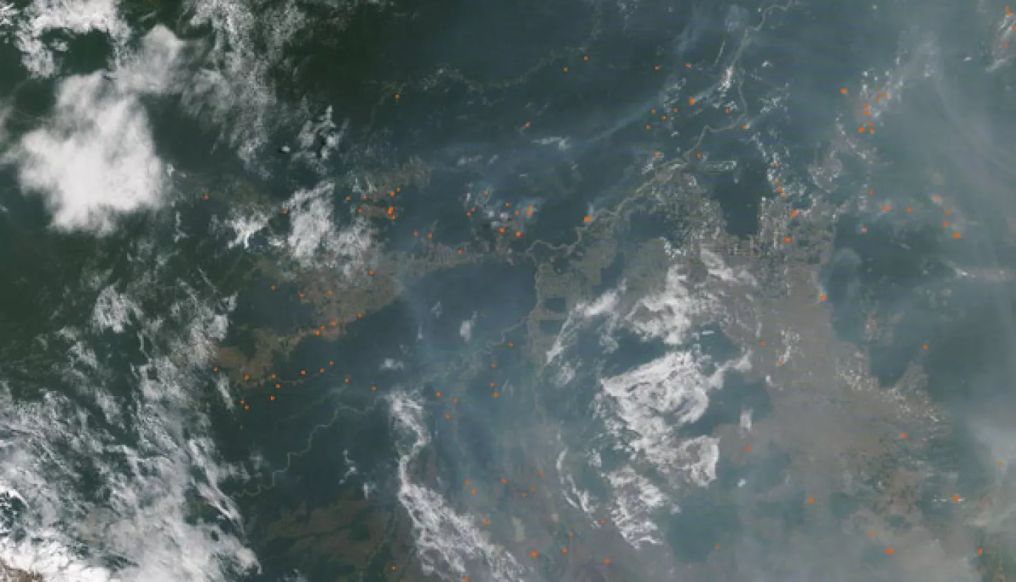
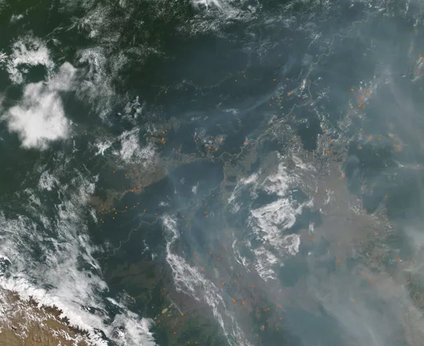
In Bolivia, an active 2019 fire season and shortage of rainfall during the 2020 wet season have led to another extremely active fire season in 2020. According to media reports, more than half a million hectares of forest have burned in the Santa Cruz region as of September 19th, and Bolivia’s interim president Jeanine Áñez has declared a national emergency due to the fires.
The NASA Earth Applied Sciences Disasters Program is examining what Earth observing resources may be available to aid risk management for the fires, and is working with regional stakeholders including representatives from the Bolivian Space Agency. This support is facilitated by the Program’s participation in the AmeriGEO Disasters Working Group, which the Program co-chairs.
Nighttime thermal infrared imagery from the Advanced Spaceborne Thermal Emission and Reflection Radiometer (ASTER) instrument on NASA’s Terra satellite was provided to aid in detecting fire hot spots. Another resource that has been made available for tracking the fires is the Global Fire Emissions Database (GFED) Amazon Dashboard, which visualizes active fire detections from the Visible Infrared Imaging Radiometer Suite (VIIRS) instruments on the NASA/NOAA Suomi-NPP and NOAA-20 satellites. Fire emissions data for tracking air quality impacts are also made available through the Near Real-time Fire Emissions dashboard on the NASA Disasters Mapping Portal, as shown below. Support is also being provided through the Global wildfire Information System.