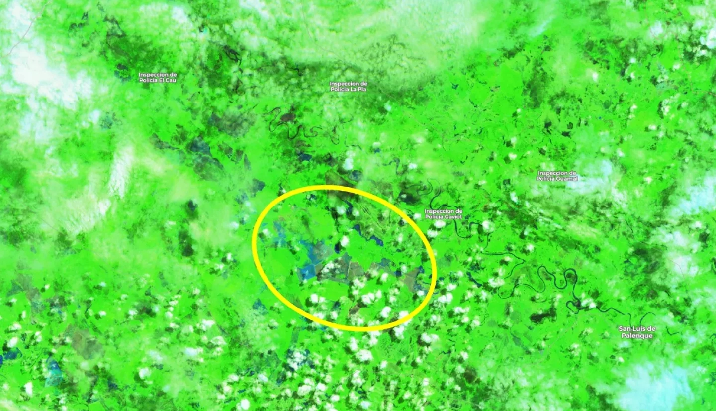
Major flooding has occurred in several areas of Colombia around July 3rd to 5th, 2020. According to the International Disasters Charter, over 1200 families in the region have been affected with at least 121 being evacuated. In addition, local authorities have estimated that 1600 hectares of crops have been destroyed.
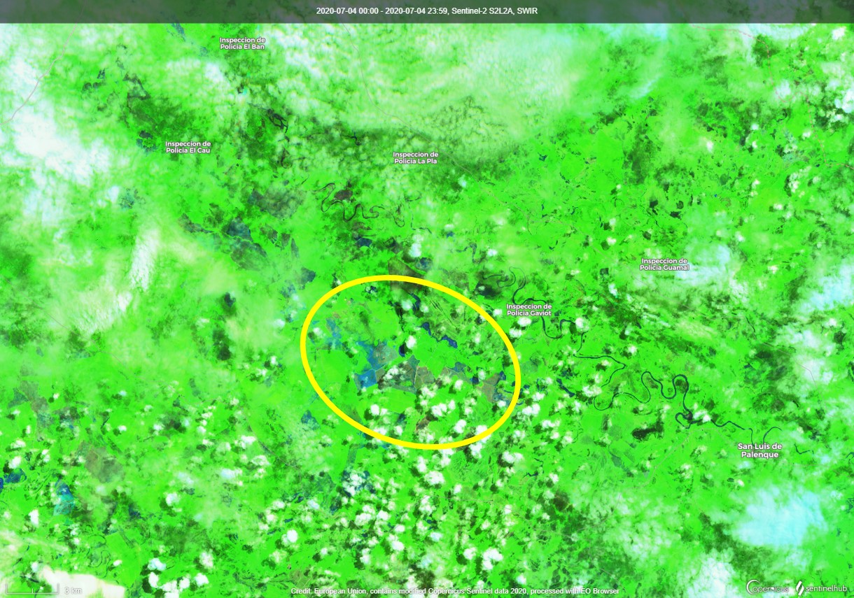
The NASA Earth Applied Sciences Disasters Program has activated to Tier 1 in response to a request from the Colombia Institute of Hydrology, Meteorology and Environmental Studies (IDEAM - Instituto de Hidrología, Meteorología y Estudios Ambientales) and the Colombia National Unit for Disaster Risk Management (UNGRD - Unidad Nacional para la Gestión del Riesgo de Desastres) and is providing assistance in determining the extent of the flooding that occurred throughout the country.
The ROSES A.37 research project “Integrating SAR Data for Improved Resilience and Response to Weather-Related Disasters” is investigating optical and Synthetic Aperture Radar (SAR) data available to indicate the extent of flooding in the several areas of interest provided by IDEAM and UNGRD.