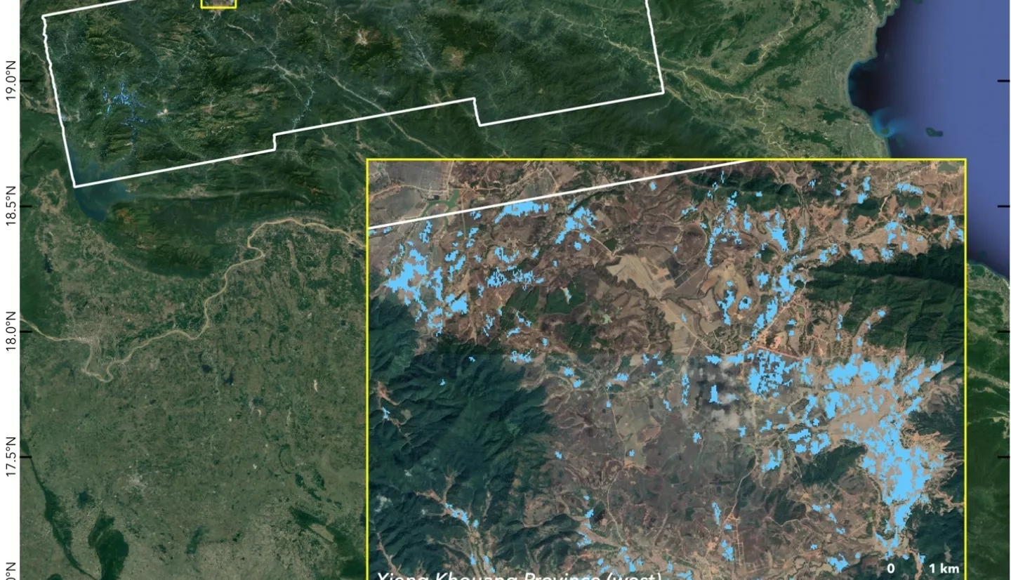
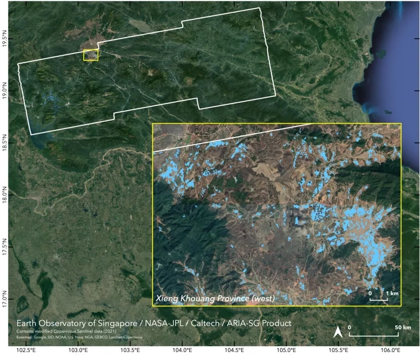
The fourth named storm of the 2021 Pacific typhoon season, Tropical Storm Koguma made landfall in Thai Binh Province in northern Vietnam on June 13, leading to widespread floods in Vietnam and Laos. Koguma weakened into a tropical depression as it moved inland but still brought as much as 11.8 inches (~30cm) of rain, flooding vast areas of farmland. Media reports indicated flooding to more than 130 households in northern Vietnam and over 5,200 households in northwest Laos, with total losses estimated at more than 94 billion kip (>$9.9 million USD.)
On June 15, the United Nations World Food Programme (WFP) requested a Flood Proxy Map for areas of Laos impacted by the flooding. The NASA Earth Applied Sciences Disasters Program activated efforts to determine NASA resources and capabilities available in support of the event. The GEO16-GFRM ROSES A.50 Global Rapid Flood Mapping Project produced two flood proxy maps showing areas of likely flooding on June 14 and June 16.

