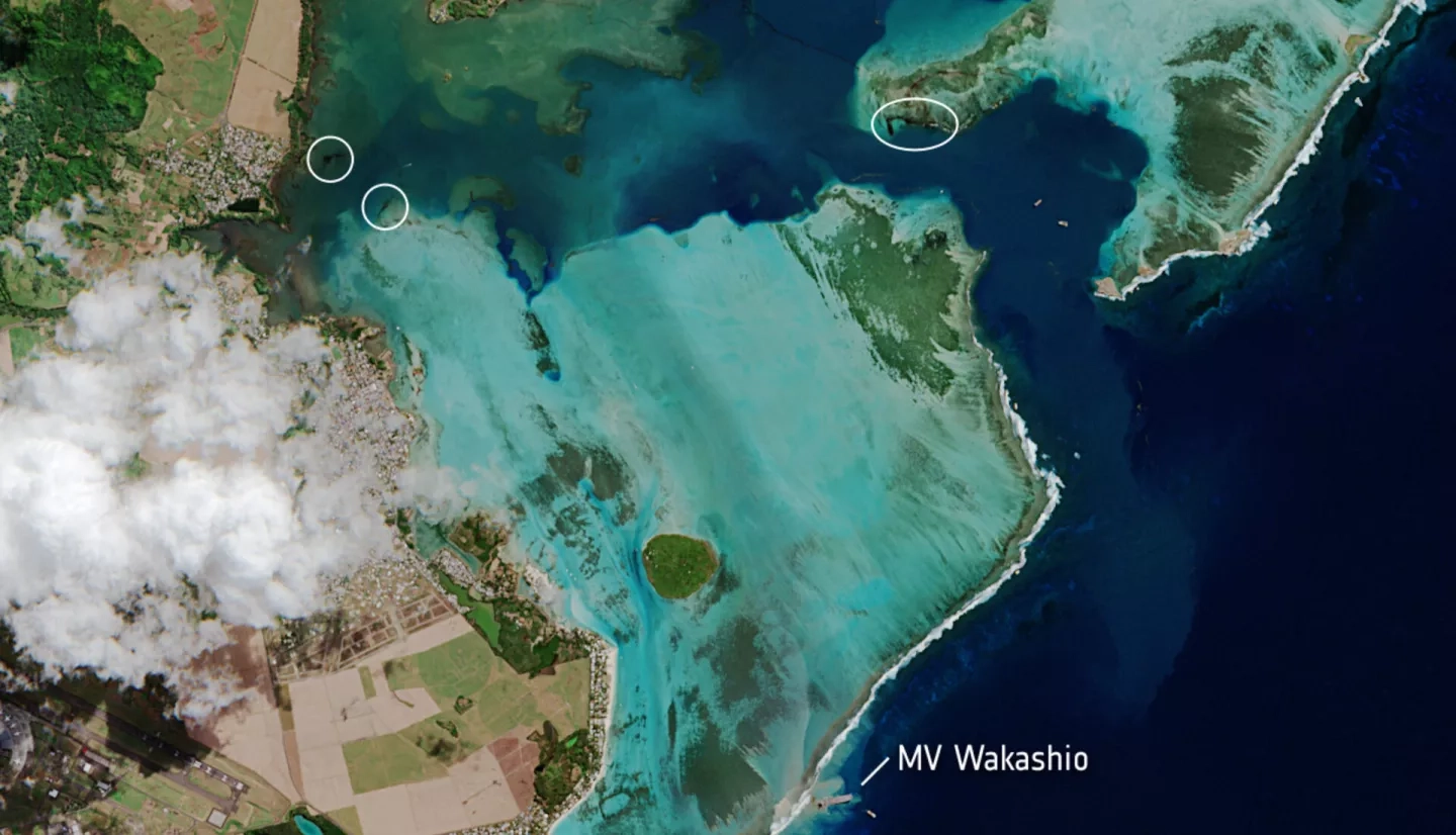
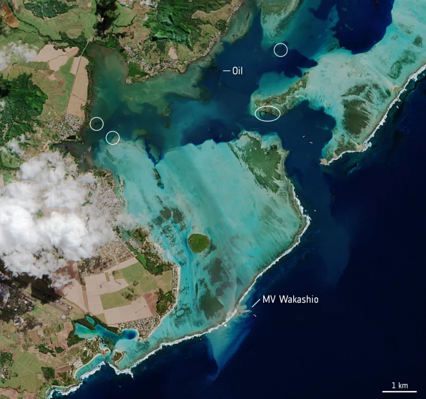
On July 25, 2020, the oil tanker MV Wakashio, reported to be carrying nearly 4,000 metric tons of oil, ran aground on a coral reef on the island of Mauritius’s southeast coast. According to media reports, more than 1,000 metric tons of fuel have leaked from the cracked vessel into the Indian Ocean – polluting the nearby coral reefs, as well as the surrounding beaches and lagoons.
The International Disasters Charter was activated for this event, and the NASA Earth Applied Sciences Disasters Program has activated to determine what NASA resources and capabilities may be available to support recovery efforts.
The government of Mauritius sent a formal request for support to the U.S. State Department which led to the activation of the U.S. National Response Team (NRT), for which the National Oceanic and Atmospheric Administration (NOAA) is the lead science agency. To aid with this request, the NASA ROSES A.37 research project “Development and Implementation of Remote Sensing Techniques for Oil Spill Monitoring and Storm Damage Assessment in an Operational Context” worked with partners at NOAA to help generate a report that uses multiple satellites to view and analyze the spill, including satellites from the European Space Agency (ESA), Japan Aerospace Exploration Agency (JAXA), and DigitalGlobe. You can view the full report here.

