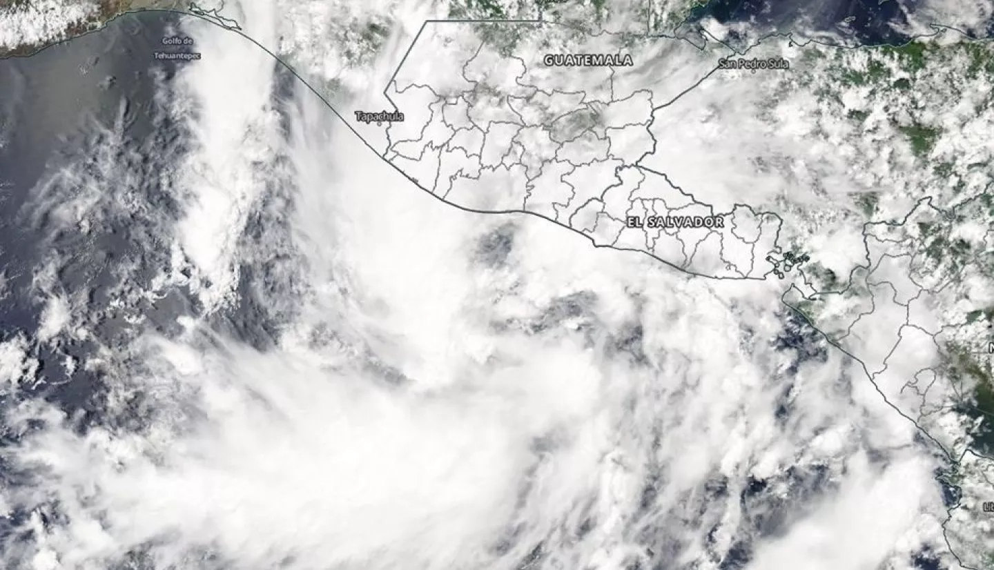
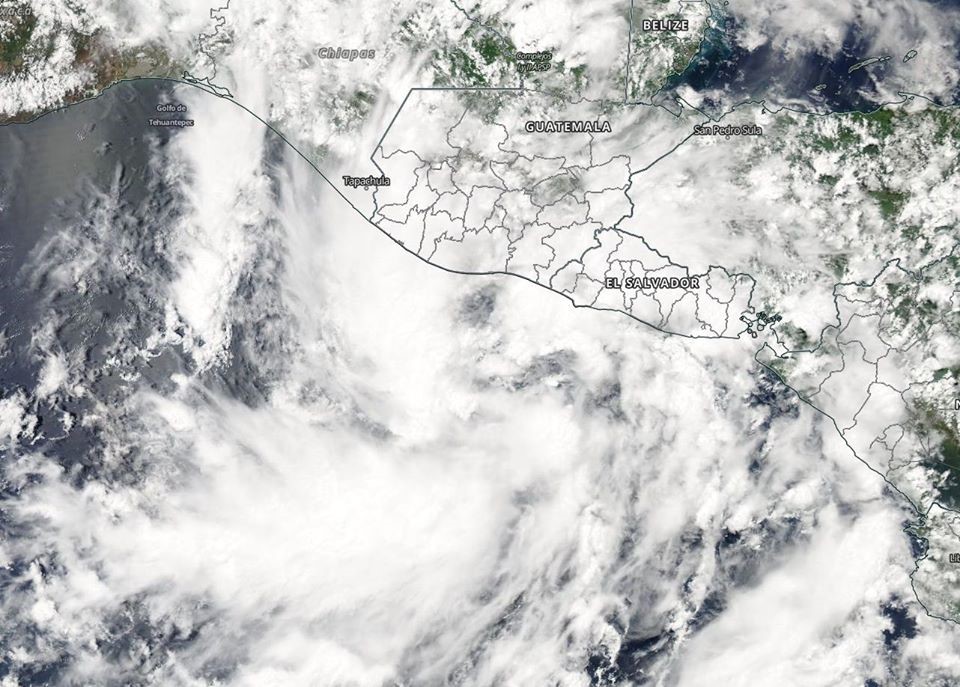
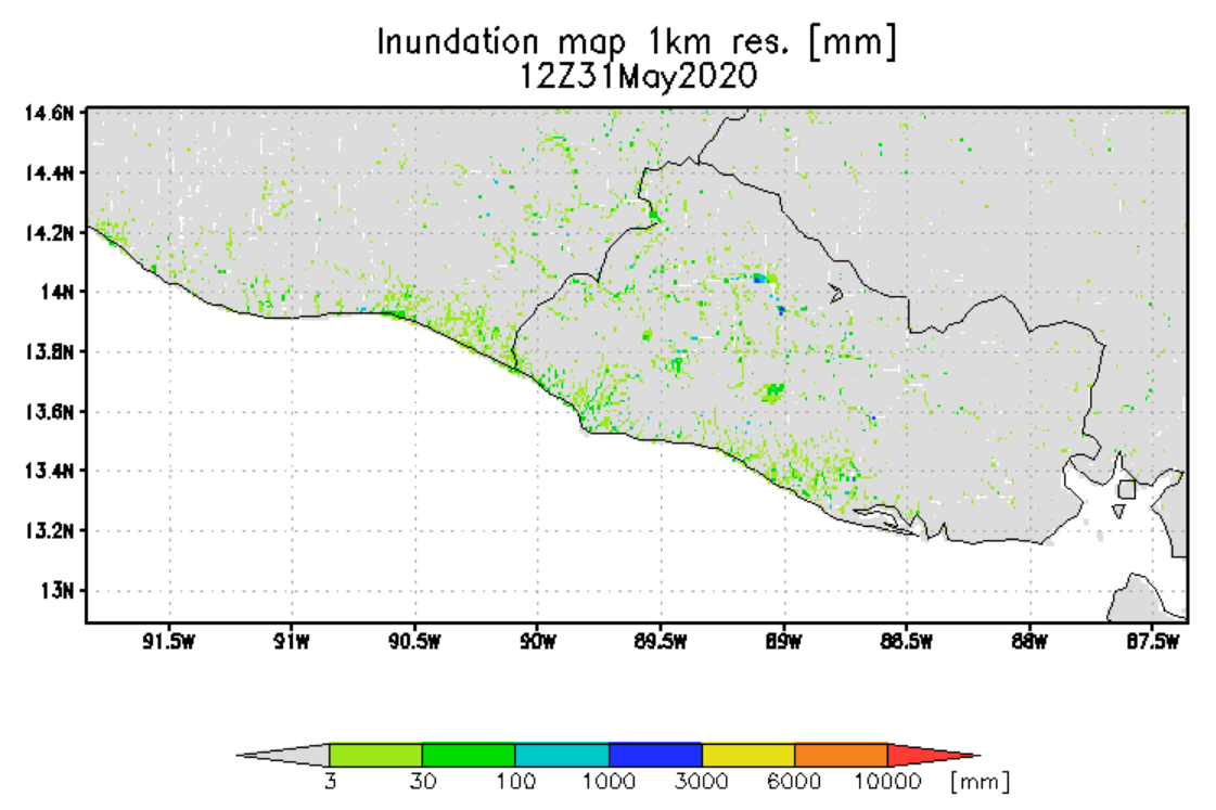
Tropical Storm Amanda, the first of the Eastern Pacific Ocean hurricane season, formed on Sunday, May 31, along the coast of Guatemala and quickly moved inland, bringing heavy rainfall and flooding to El Salvador and Guatemala. The remnants of the storm system then re-formed as Tropical Depression 03L over Mexico’s Gulf of Campeche, and on June 2, 2020 strengthened into Tropical Storm Cristobal. As of Friday June 5th current weather models from the National Hurricane Center predict that Cristobal will move northward in the Gulf of Mexico on Friday and over the weekend, and will potentially make landfall in Louisiana as a Tropical Storm.
The NASA Earth Applied Science Disasters Program has activated to Tier 1 in support of Cyclones Amanda and Cristobal and is monitoring the situation to determine what NASA resources and capabilities may be available to support risk management for these events