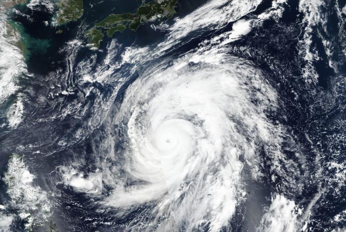
Typhoon Hagibis formed over the weekend of Oct. 5 and 6 in the Philippine Sea near Guam. In less than a day, wind speeds increased by 100 miles per hour as Hagibis grew from a tropical storm to a super typhoon equivalent to a Category 5 hurricane. Hagibis reached super typhoon status on Oct. 7 by 5 a.m. EDT (0900 UTC).
Japan is preparing for a possible landfall as the storm, located some 350 miles south of Yokosuka, continues to track north-northwest. "Super-typhoon" is a term utilized by the U.S. Joint Typhoon Warning Center for typhoons that reach maximum sustained 1-minute surface winds of at least 150 mph.
The NASA Earth Applied Science’s Disasters Program is monitoring Typhoon Hagibis and the potential affect in and around Japan. At this time, the NASA Disasters Program is collecting relevant data and information and will be posting support and products when they become available.