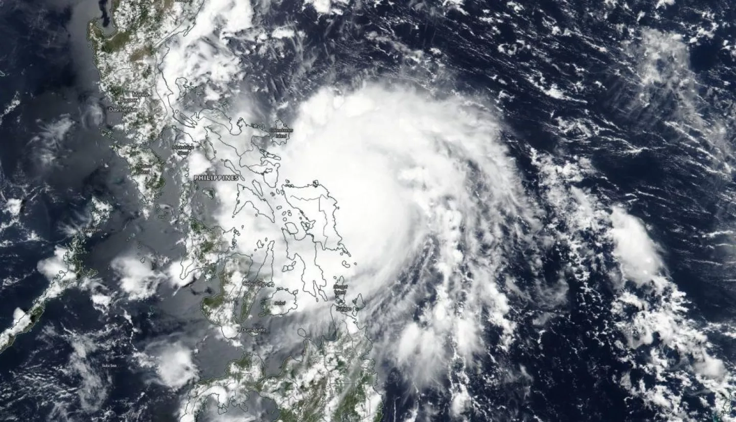
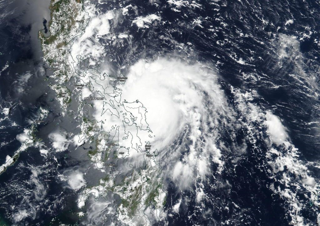
Typhoon Vongfong, known locally as Typhoon Ambo, formed as a low-pressure area in the Northwestern Pacific Ocean, strengthened to a tropical cyclone on May 12th, and made landfall in the province of Eastern Samar in the Philippines around noon local time on May 14th as a category 3 typhoon. The storm brought winds of up to 100 miles per hour and heavy precipitation, prompting evacuations in the region.
The NASA Earth Applied Sciences Disasters is monitoring the situation to identify potential stakeholders and determine what NASA resources and capabilities may be available to support response and recovery for the event, if any. The NASA Disasters program has several research projects focused on studying and mitigating impacts from tropical cyclones and extreme weather events in its ROSES A.37 portfolio, which include “Advancing Access to Global Flood Modeling and Alerting”, “Identifying Critical Infrastructure Exposure for Disaster Forecasting, Mitigation and Response”, “Development of Predictive Models to Improve Landslide Disaster Risk Reduction and Response” “Integrating Synthetic Aperture Radar Data for Improved Resilience and Response to Weather-Related Disasters”, and “Using Spaceborne Synthetic Aperture Radar to Rapidly Map Global Damage”. The ROSES A.50 project “GEO GFRM Integrating Global Remote Sensing and Modeling Systems for Local Flood Prediction and Impact Assessment Project” also has applications for tropical cyclones. Learn more: https://disasters.nasa.gov/portfolio