Imagen
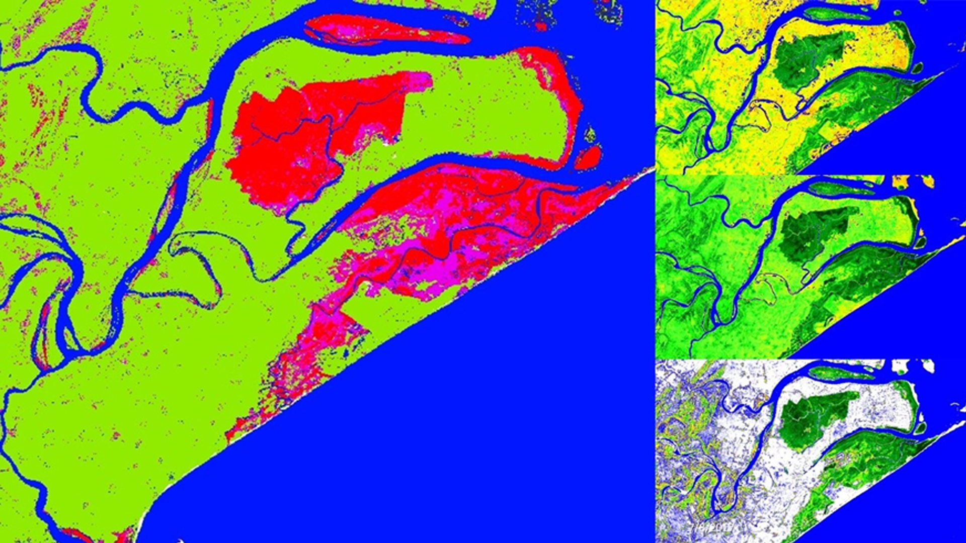
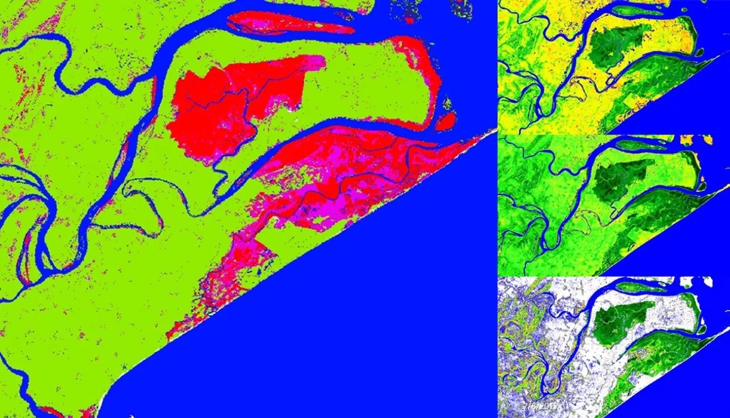
Across the globe, mangroves play a major role in coastal ecosystem processes mitigating erosion and serving as barriers against storm surges. India holds approximately 5% of the world's mangroves, over half of which are along its east coast. Situated in the state of Odisha, Chilika Lagoon and Bhitarkanika Wildlife Sanctuary sustain mangrove sites of local importance in need of effective management. This study demonstrated the use of Terra, Landsat, and Sentinel-1 satellite data for spatio-temporal monitoring of mangrove health for both sites. Several indices including Normalized Difference Vegetation Index and Enhanced Vegetation Index, were examined to develop biophysical prediction tools and derive a 17-year time-series (2000 to 2016) of leaf chlorophyll (CHL), Leaf Area Index (LAI), and Gross Primary Productivity (GPP). Parallel to this assessment, a long-term (2000 to 2016) analysis of meteorological factors such as precipitation and temperature was completed to determine an association between these parameters. The correlation between meteorological parameters and mangrove biophysical characteristics enabled forecasting of mangrove health and productivity. A historical analysis of land cover maps was produced using Landsat 5 and 8 data to determine decadal changes in mangrove area estimates between 1995 and 2017. This analysis was used to predict land use-land cover change or fragmentation of Bhitarkanika mangroves. Based on IPCC data availability, the soft prediction map for 2050 showed the probability of mangrove risk to disturbance in the eastern part of Bhitarkanika. This study revealed the advantages of using a multi-sensor approach to monitor mangrove health and inform monitoring protocols.