Imagen
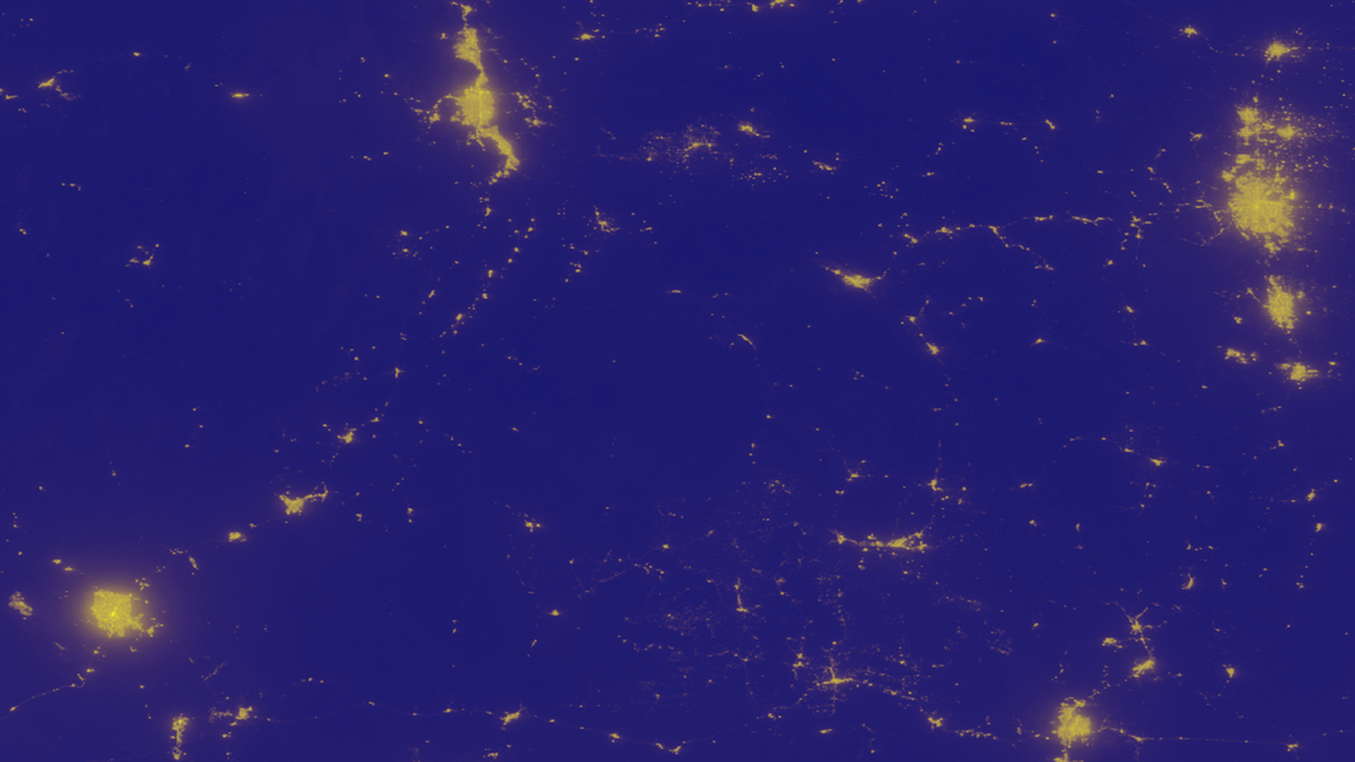
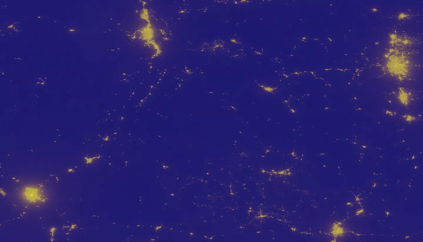
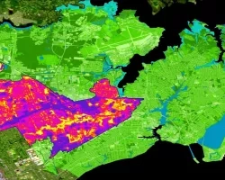
The rapid expansion of human population in conjunction with industrialization has resulted in increased artificial light pollution, also known as sky glow. Anthropogenic light pollution hinders the reproductive, migratory, and predatory habits of wildlife relying on the predictable diurnal cycle. Artificial light pollution not only degrades the quality in which humans view the night sky, but also causes adverse human health concerns including obesity, cancer, depression, and insomnia. The expansion of the Skyglow Estimation Toolbox (SET) Python program enabled adjustable zenith and azimuth angles, which assisted in determining the levels and the directions of anthropogenic light pollution impacting the Colorado Plateau. The SET program calculates artificial sky glow by applying a model of light propagation to visible light radiance imagery from the Suomi National Polar-orbiting Partnership (Suomi-NPP) Visible Infrared Imaging Radiometer Suite (VIIRS) Day/Night Band (DNB). A composite image of the Colorado Plateau region was created for the months of June, July, August, September, and October of 2014 through 2016, and the available months of 2017, June and July. The updated SET program processed the composite image to produce a library of kernels, to generate Artificial Skyglow Maps modeling predetermined zenith and azimuth angle combinations. The resulting maps yield the direction of the greatest contribution of anthropogenic light pollution. Consequentially, the updated Skyglow Estimation Toolbox informed government agencies and stakeholders about the current state of anthropogenic light pollution in the Colorado Plateau and provided a basis for future action.