Team: Mary Miller (Michigan Technological University), Michael Battaglia (Michigan Technological University), Laura Bourgeau-Chavez (Michigan Technological University), David Watkins (Michigan Technological University), Jessica Alger (Michigan Technological University)
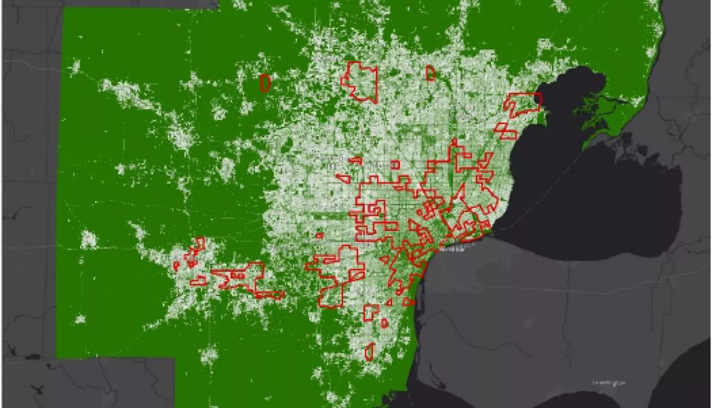
Summary: NASA data and modeling products can ensure Equity and Environmental Justice for underrepresented people in Southeast Michigan. We are partnering with the Southeast Michigan Council of Governments (SEMCOG) to create spatial datasets of flood risks due to rapidly changing water levels in the Great Lakes as well as increased flood risks from extreme weather due to changes in land cover and climate. SEMCOG’s core mission is that “all people of Southeast Michigan benefit from a connected, thriving region of small towns, dynamic urban centers, active waterfronts, diverse neighborhoods, premiere educational institutions, and abundant agricultural, recreational, and natural areas”. We are working with SEMCOG to support their mission by providing custom spatial water and flood risk datasets derived from models and NASA Earth Observations for their new online Equity Emphasis Areas (EEA) tool. The EEA tool is an online interactive GIS application that provides detailed summaries of key demographic variables at different geographies (regional, county, community, and census tract) across the seven-county region. The tool provides one location where communities, partner organizations, and residents can learn about Southeast Michigan’s current socioeconomic indicators and have a data-driven understanding of community needs in order to assist in effective planning to ensure equity and environmental justice (https://maps.semcog.org/EquityEmphasisAreas/).