Floods are the deadliest and most costly natural hazard worldwide, so it is important to obtain highly reliable information about global flooding events. This project aims to integrate flood inundation information from multiple sources into the DisasterAWARE® (All-hazard Warnings, Analysis, and Risk Evaluation) platform, providing a single source of global information on floods that is supported by a common, normalized data model. The middleware will automatically extract and merge data from multiple sources, so end-users will no longer have to do this by hand.
Margaret Glasscoe (University of Alabama in Huntsville) is the primary investigator of this project, which utilizes collaboration and involvement from several other organizations. Indiana University handles the cyberinfrastructure to deliver algorithms to end-users, University of Colorado at Boulder calibrates the model of models using Earth observations to calculate flood inundation and flood depth information, ImageCat Inc. provides impact information using exposure and risk by validating and calibrating the Earth observations and offering flood modeling expertise, University of Missouri Kansas City uses machine learning to assess possible damage, Oak Ridge National Laboratory is the lead in developing the model of models approach in conjunction with partners at the Pacific Disaster Center.
Currently, the flood models are running in near real-time in the Pacific Disaster Center DisasterAWARE operational environment and the model of models severity alerts in the test environment. The team is also working on a pilot project that demonstrates its capabilities in Vadodara, India.
FULL PROJECT DESCRIPTION
Obtaining highly reliable information about flooding events on a global scale currently requires the manual review and integration of multiple sources. There is a great variety of data, each part of which may or may not be relevant for a particular scenario, and each with different access mechanisms. Given that floods are both the most deadly and most costly natural hazards, this project will integrate flood inundation information from multiple sources into the DisasterAWARE (All-hazard Warnings, Analysis, and Risk Evaluation) platform, providing a single source of global information on floods that is supported by a common, normalized data model. End users will no longer be required to extract and merge data from multiple sources by hand as this will be done automatically by the middleware.
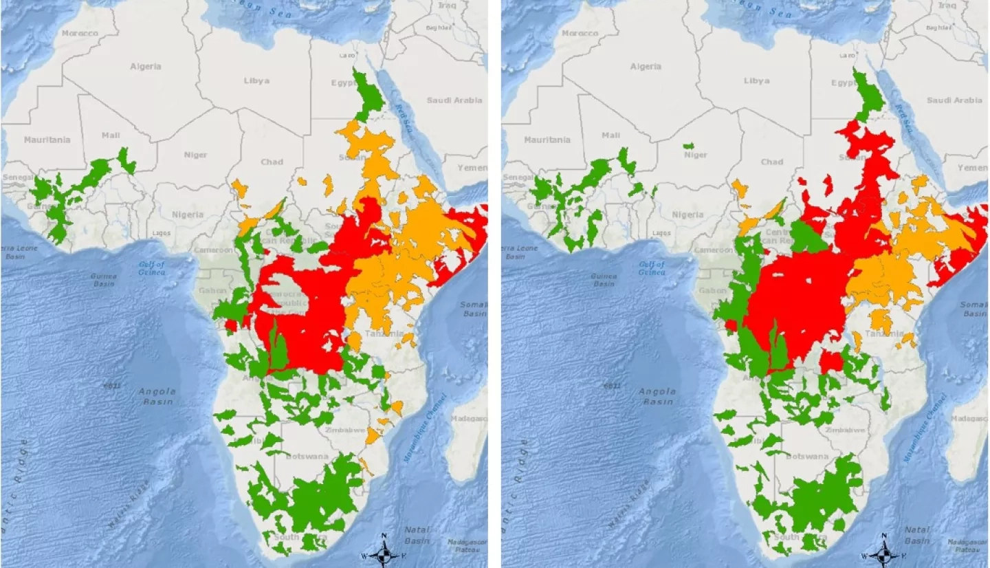
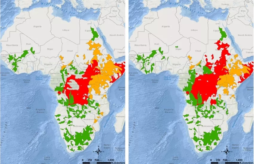
By using a model-of-models approach, which will include innovative new interferometric synthetic aperture radar. Using SAR-based sources as well as existing third-party sources, we will furthermore create a repository of flood information that will potentially be greater than the sum of its parts, providing higher levels of confidence and supplemental information than any single source. Our model-of-models approach will apply recent innovations in machine learning methods to create a unified picture that will become progressively better over time as more data become available.
Furthermore, by integrating with DisasterAWARE, the project will create a situational awareness tool that will specifically identify flood events and push this information to end-users through various mechanisms. Conversely, end-users will be able to register for notifications about events detected by the system in areas of interest. This will streamline the delivery of data and remove the requirements for navigating through multiple sources. End users will be presented with the data of interest immediately.